GuideSeoraksan Dinosaur Ridge Trail Run – 21.98 km in 7h 27m
A 21.98 km trail running review of Seoraksan's Dinosaur Ridge loop, with parking, gear, route splits, photos, and lessons from the day.
On August 14, 2024, when I was still a beginner hiker, it took me 12 hours to cross Dinosaur Ridge and reach Socheong Shelter. Exactly two years later, I returned as part of my training for the Dynafit Taebaek Trail in September. I wanted to see how much fitter I had become.
The result was 21.98 km in 7 hours 27 minutes 58 seconds. I skipped Daecheongbong because I still had to make it to Gangneung for fried chicken, but I came away knowing how much fitter I had become in two years.
📋 Route Overview
| Item | Details |
|---|---|
| Date | August 15, 2026 |
| Route | Sogongwon → Biseondae → Madeungnyeong Junction → Dinosaur Ridge → Huiungak Shelter → Cheonbuldong Valley → Biseondae → Sogongwon |
| Style | Trail running and hiking, loop course |
| Distance | 21.98 km |
| Activity time | 7:27:58 |
| Elevation gain | 1,857 m |
| Start | 02:24 |
| Finish | Around 09:51 |
| Parking | Seoraksan Sogongwon Parking Lot, KRW 10,000 long-stay fee |
Dinosaur Ridge is a long and demanding mountain route. Check the weather and trail closures, and carry a headlamp, adequate water, and enough food.
🚗 Parking
[Seoraksan Sogongwon Parking Lot]
📍 Seoraksan Sogongwon Parking Lot
I arrived at 2 a.m. There were restrooms in the parking lot, so I could finish getting ready before setting off.
At the time of my visit, passenger cars paid KRW 6,000, or KRW 10,000 for 12 hours or longer. The day might have run long, so I paid the KRW 10,000 long-stay fee. I returned within 12 hours, but it was nice not to worry about the clock.
Fees can change, so check the posted rates when you arrive. The access road and parking lot get very busy on weekends and during peak seasons.
Parking fee reference: Seoraksan Sogongwon parking guide
🎒 What I Carried
| Category | Items |
|---|---|
| Clothing and gear | Trail-running kit, trail shoes, poles, quiver, headlamp |
| Drinks | Two 500 ml soft flasks, 600 ml Gatorade, one can of Monster |
| Food | Six energy gels, dried sweet potato, red-bean bread, two grain shakes, salt-and-glucose tablets |
| Electronics and certification | Phone, power bank, and Blackyak BAC app |
The climb to Madeungnyeong is long, followed by the constant ups and downs of Dinosaur Ridge. I needed a headlamp for the night start, and the poles were especially useful on the Madeungnyeong ascent. I ran short of water later and bought another 500 ml at Huiungak Shelter.
🐻 Sogongwon Start – 2:24 a.m.
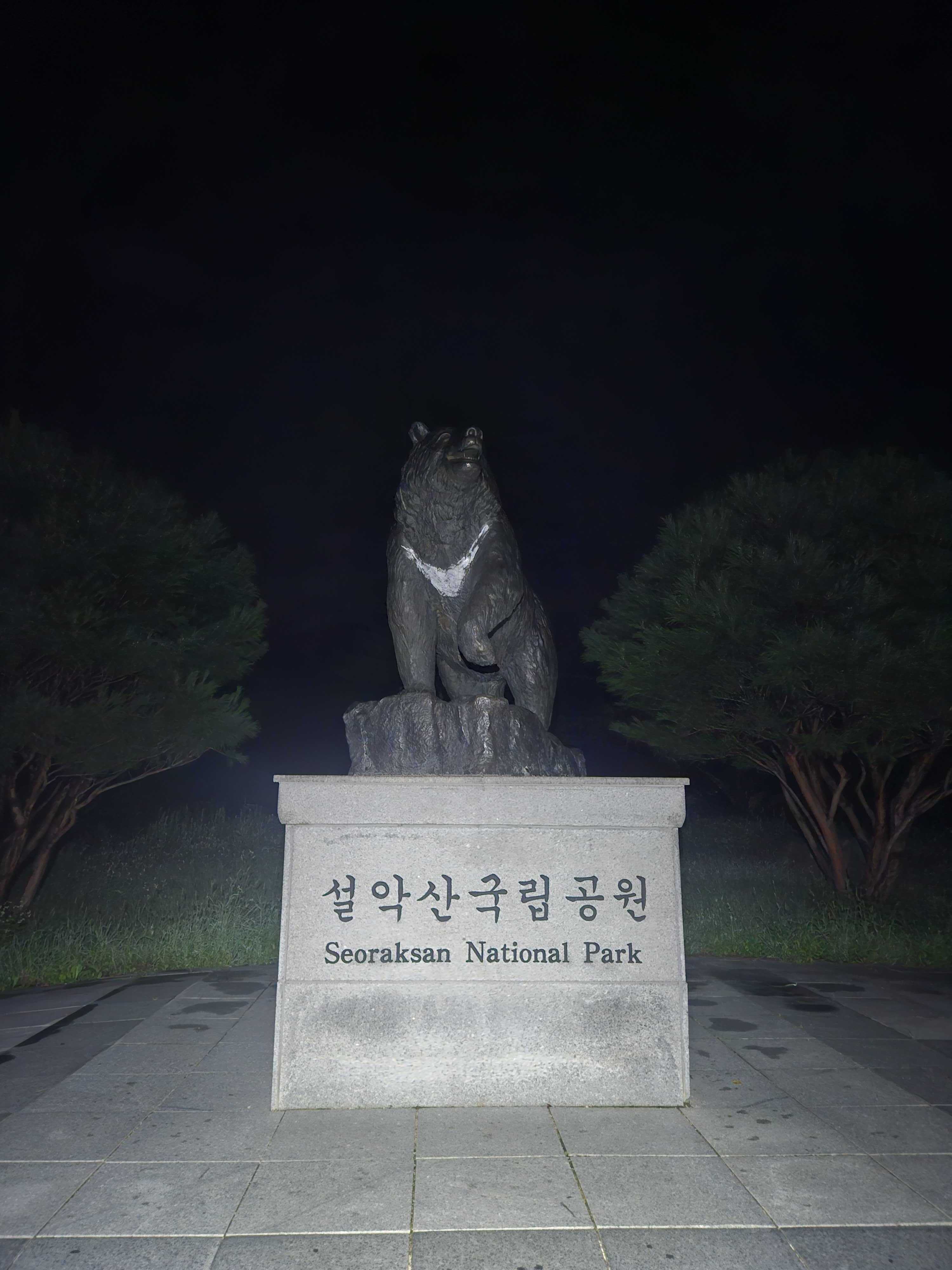
There were already many hikers around in the middle of the night. I ate a piece of dried sweet potato, finished preparing, and started my watch at the gate. My Seoraksan trips always seem to begin beside the moon-bear figure.
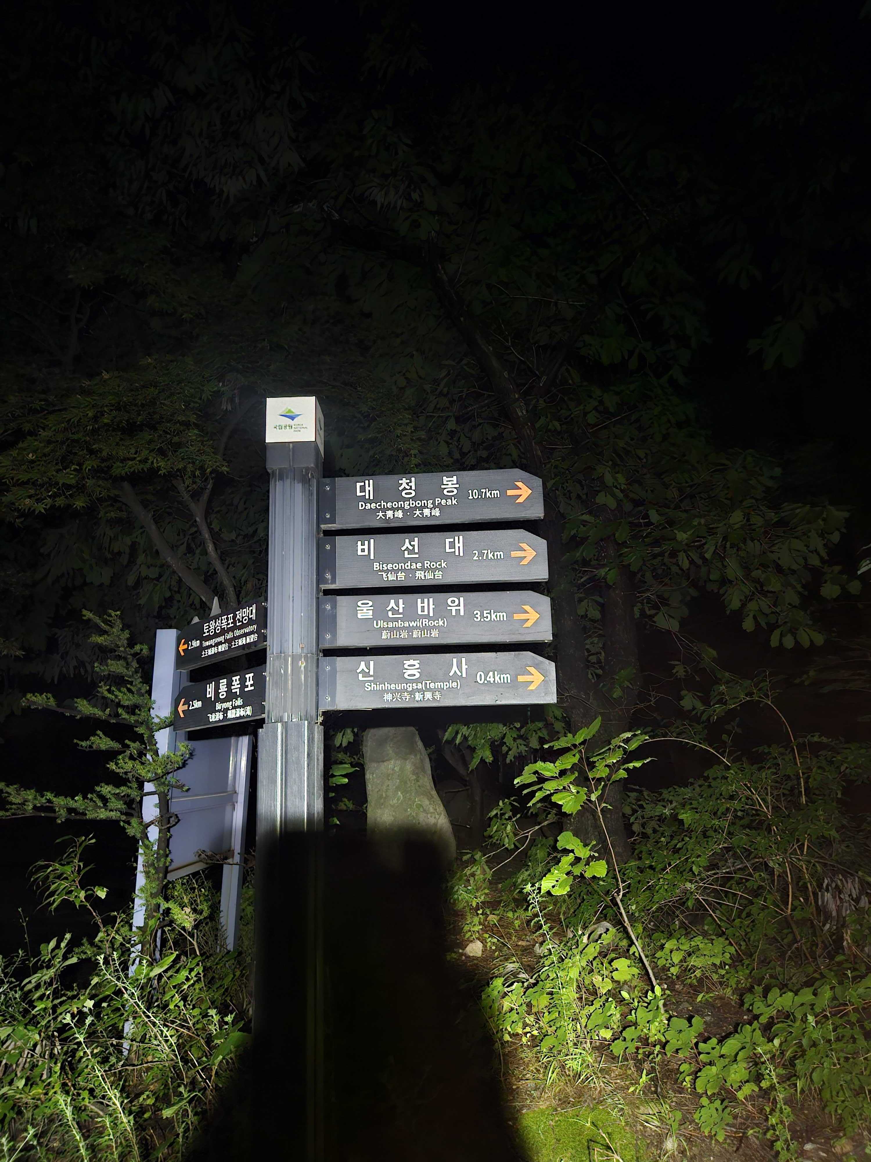
Start: 02:24. Biseondae was 2.7 km away.
🌙 Biseondae – Warming Up in the Dark
The path to Biseondae is almost flat. I alternated between walking and running, treating it as a warm-up. Many people were already ahead of me, visible only by their headlamps. It was too dark to take photographs.
I reached Biseondae at 02:56. I had heard that the gate opened at 3 a.m., but it was already open and hikers were passing through.
I took out my poles, ate an energy gel, and started the climb to Madeungnyeong. Two years earlier this section had taken me more than five hours.
🥵 Madeungnyeong – Unexpected Pacemakers
Partway up, I caught two hikers who may or may not have been a couple. Another man came up behind me, and before long the four of us were moving as a loose group.
The pair in front were remarkably strong. They never stopped and passed one hiker after another. At every rest point I considered letting them go, but good pacemakers are hard to give up.
The man behind eventually disappeared, leaving three of us. I stayed about ten metres back so I would not pressure the pair and fought to keep them in sight.
Two years ago I probably stopped six or seven times on this climb. This time I did not stop once. I reached Madeungnyeong Junction at 04:55, 2 hours 31 minutes after leaving Sogongwon.
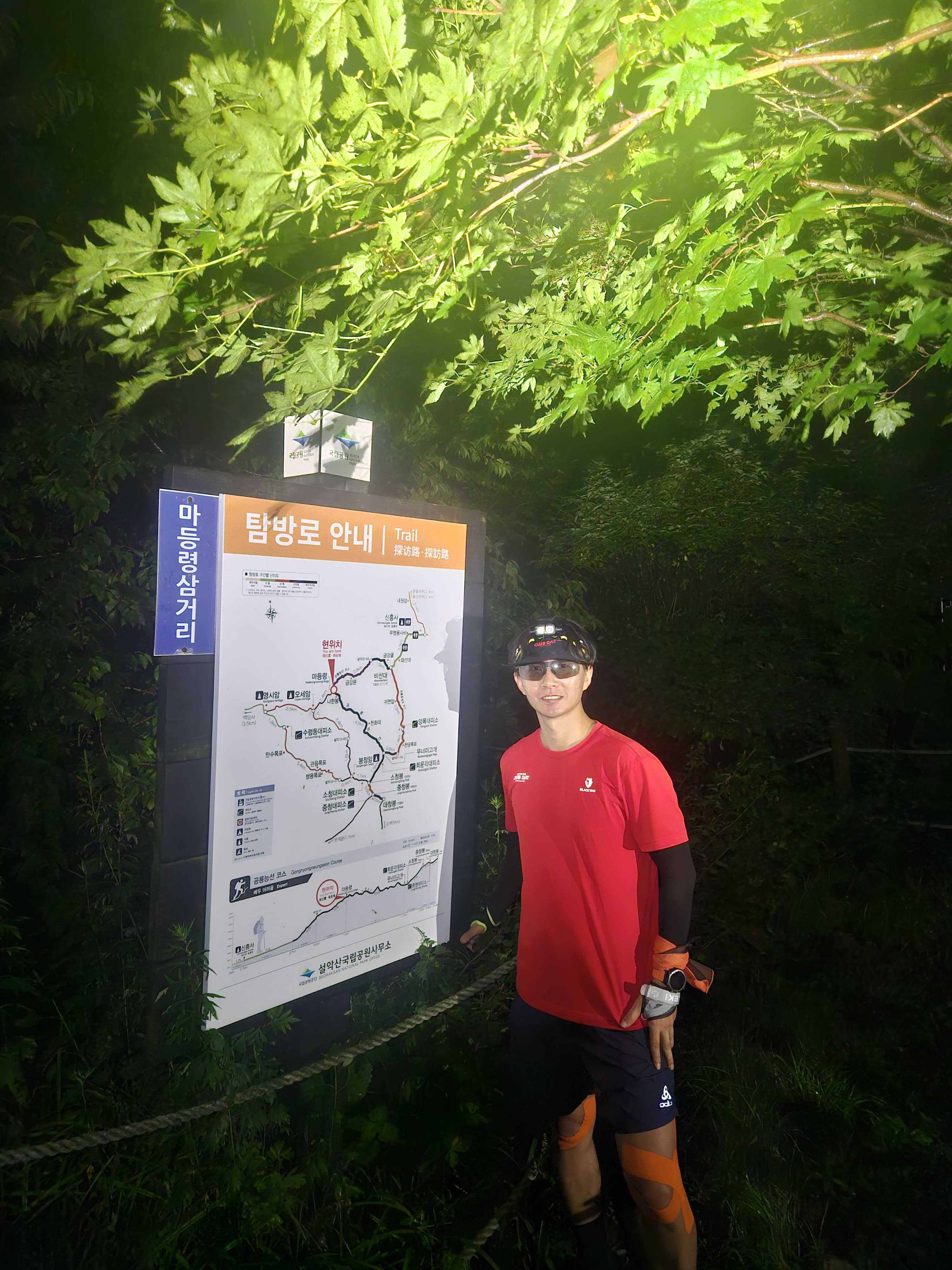
Madeungnyeong Junction is a Blackyak BAC Baekdudaegan certification point. It was still dark, but I checked my phone's GPS and completed the certification in the BAC app.
It was still too dark for views. I thanked my accidental pacemakers and let them go ahead. I topped up a partially empty flask with Gatorade, ate dried sweet potato and a grain shake, and rested for ten minutes.
Although I had come to trail-run, I decided to enjoy every view on Dinosaur Ridge. The clock could wait.
🌄 Madeungnyeong to Keunsaebong – Dawn on the Ridge
I put my poles in the quiver and began the ridge proper. Before long, I passed the two hikers while they were resting.
The sun was beginning to rise through the clouds, revealing the ridges of Outer Seorak.
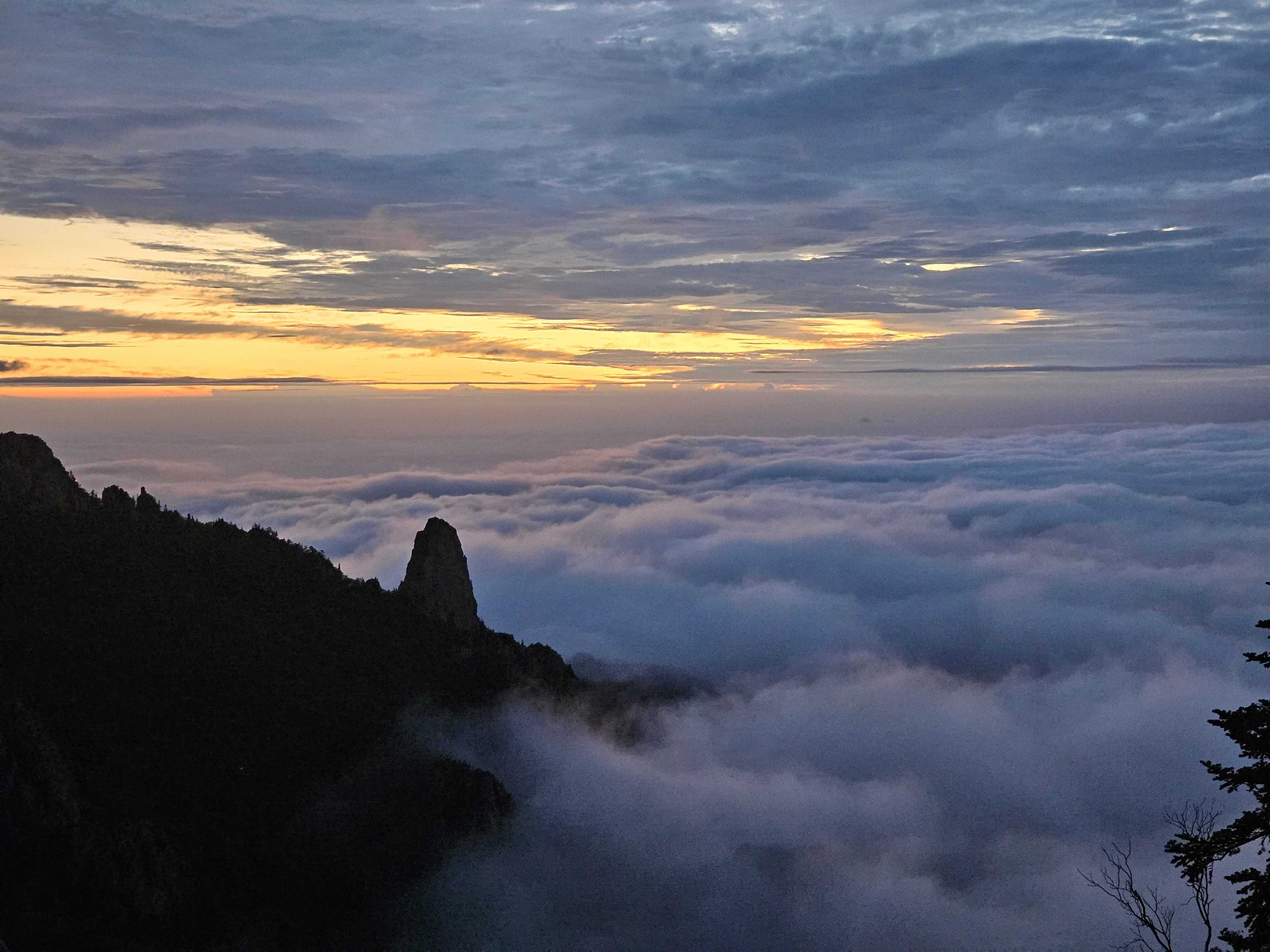
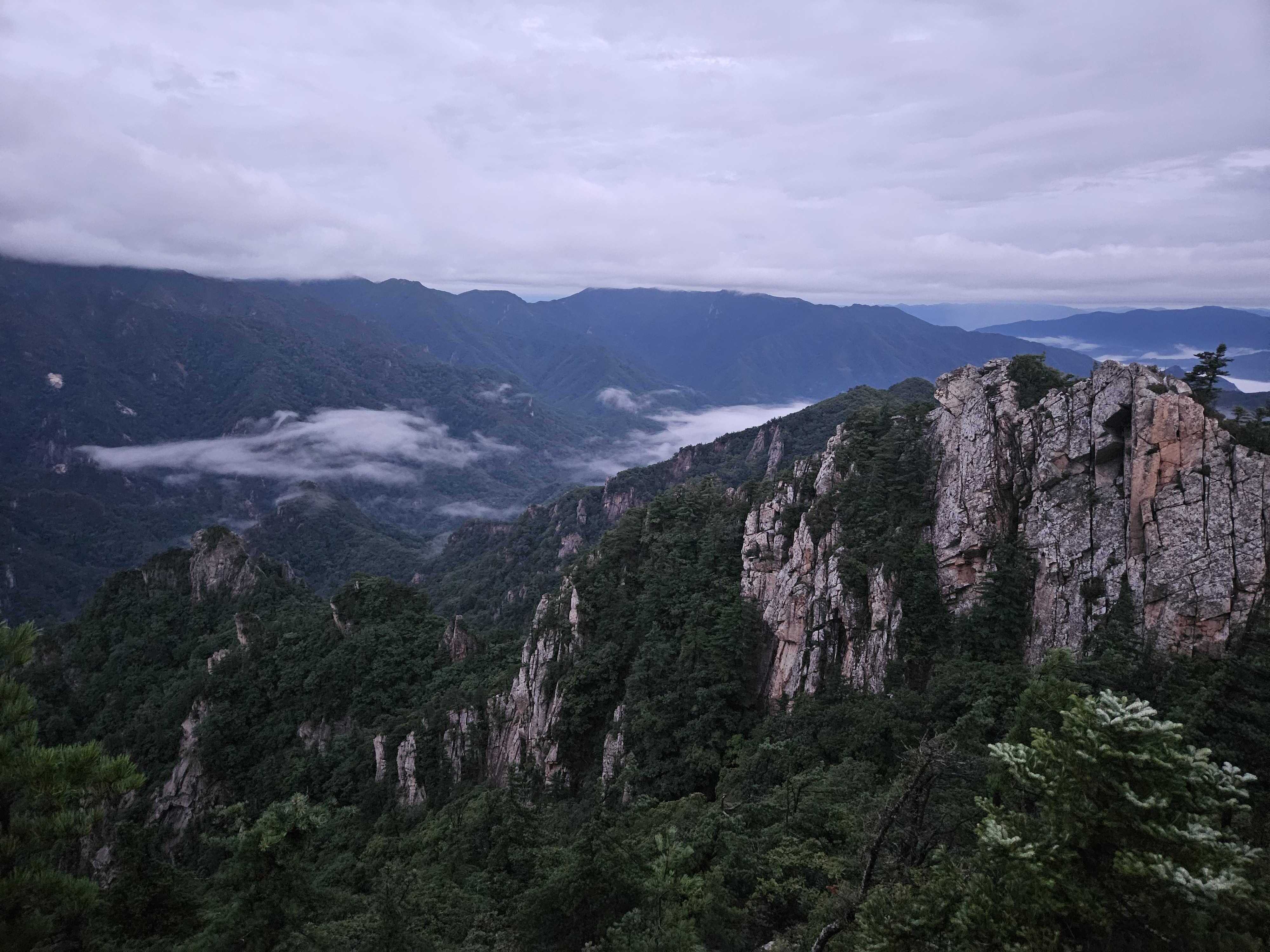
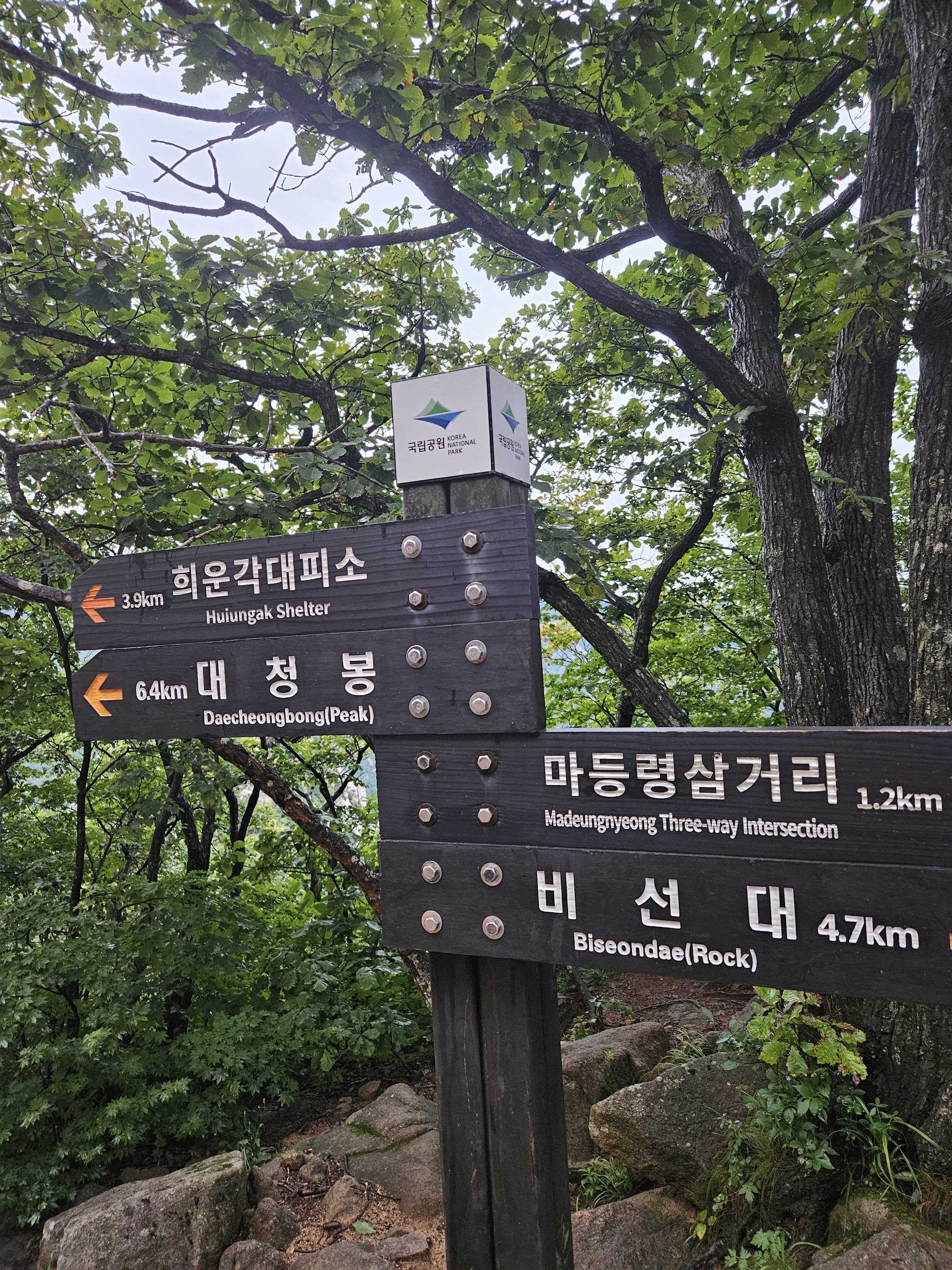
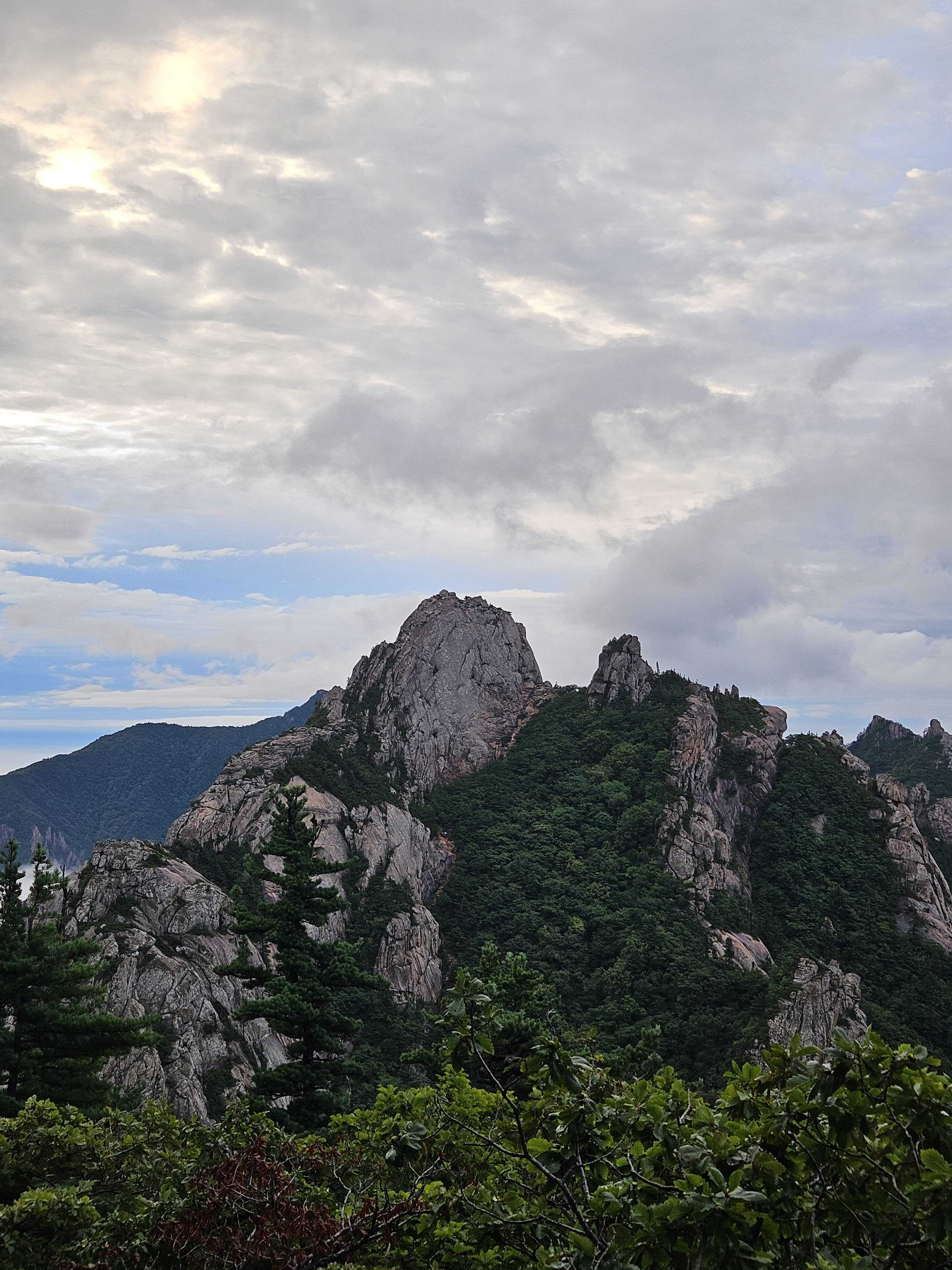
I reached Keunsaebong at 05:50. I passed Nahanbong so quickly—or in such darkness—that I did not even notice it. Huiungak was 3.9 km away, and the peaks ahead showed just how much ridge remained.
🪨 King Kong Rock – Views Before Records
As daylight grew, the mountains became clear despite the lack of direct sun. The first serious railing sections began.
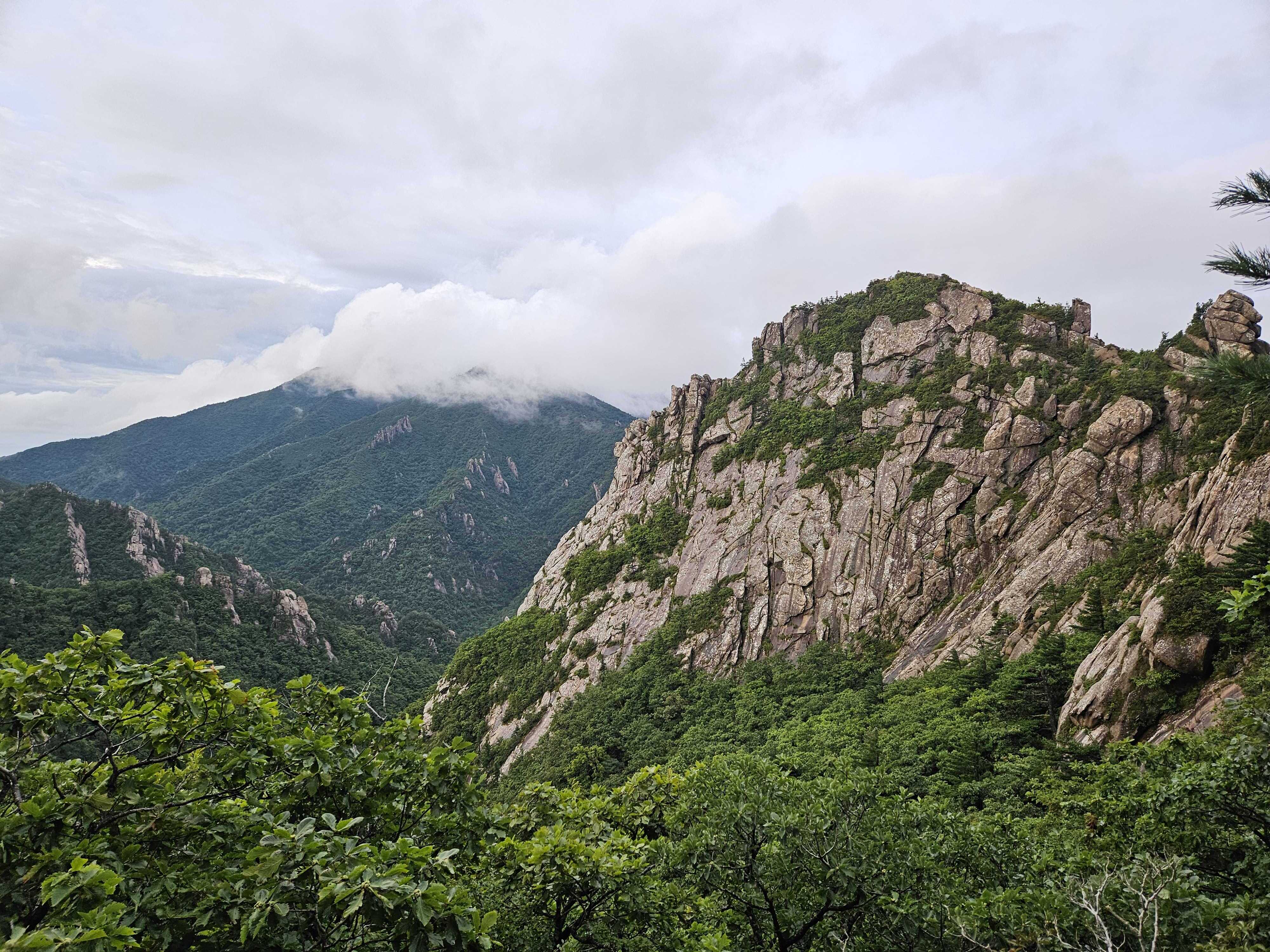
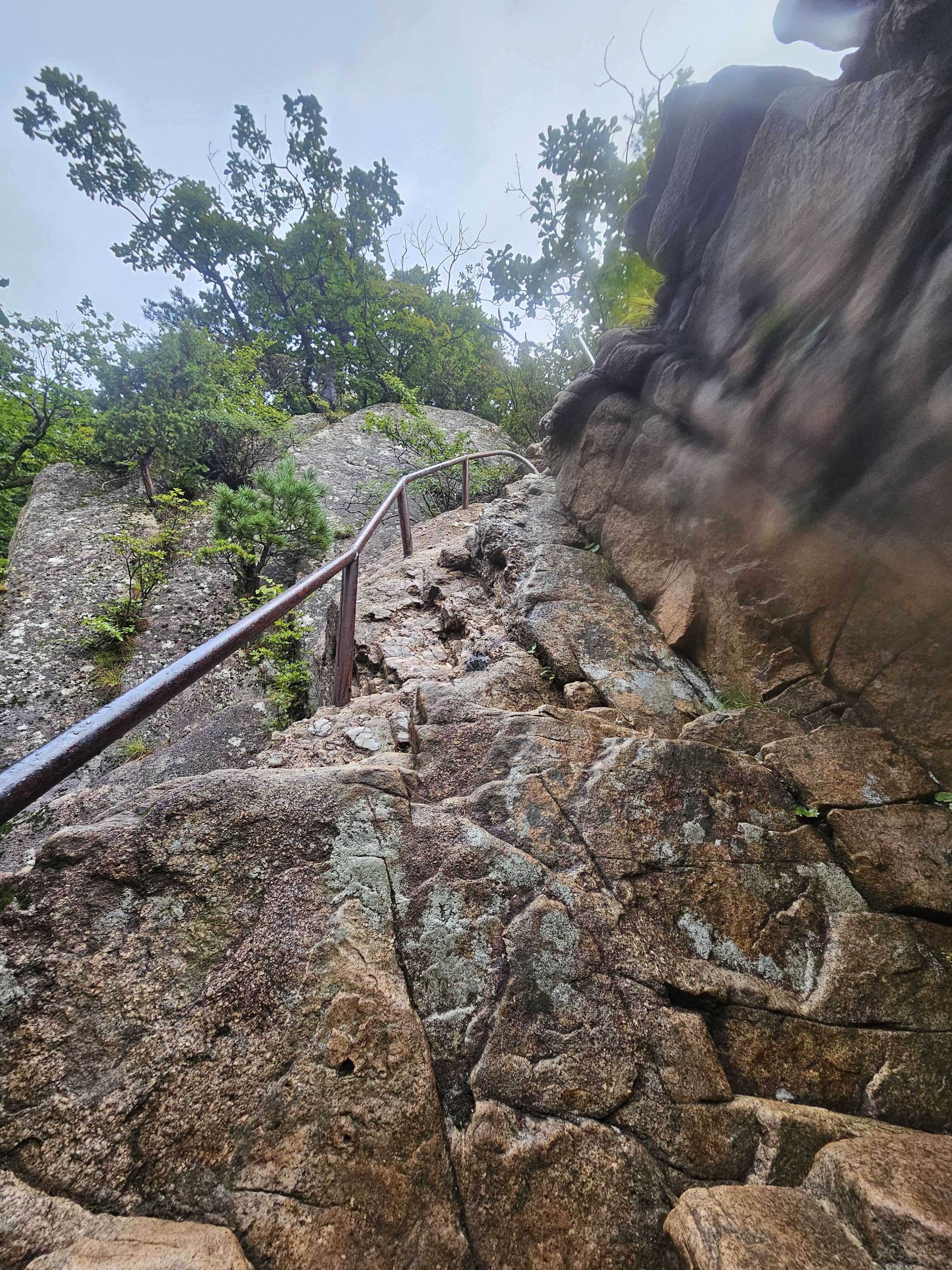
I reached King Kong Rock at 06:06, with 3.4 km left to Huiungak. The rock itself was impressive, but the nearby photo spot had an even better view. I set up the selfie stick and took my time capturing it.
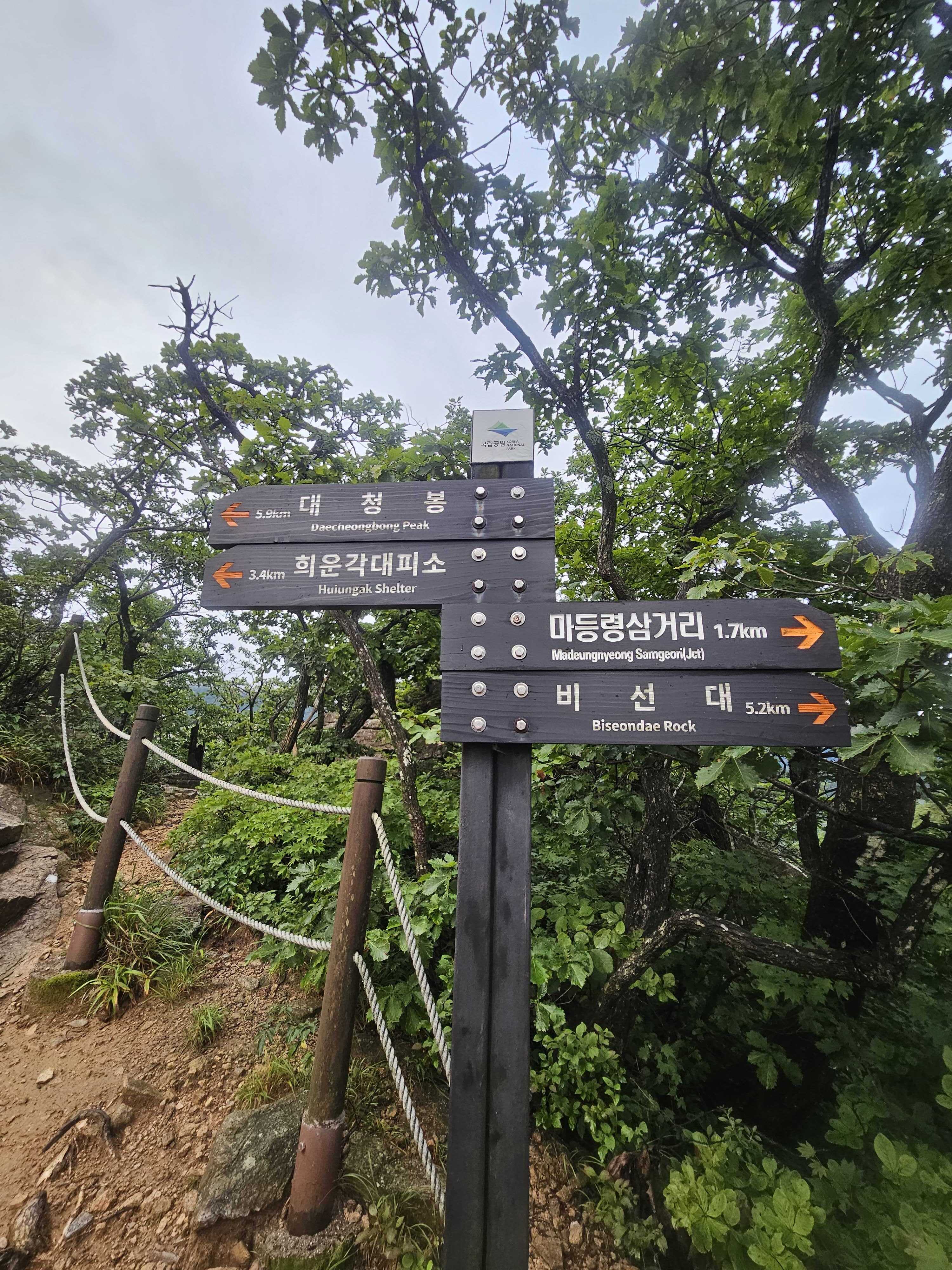
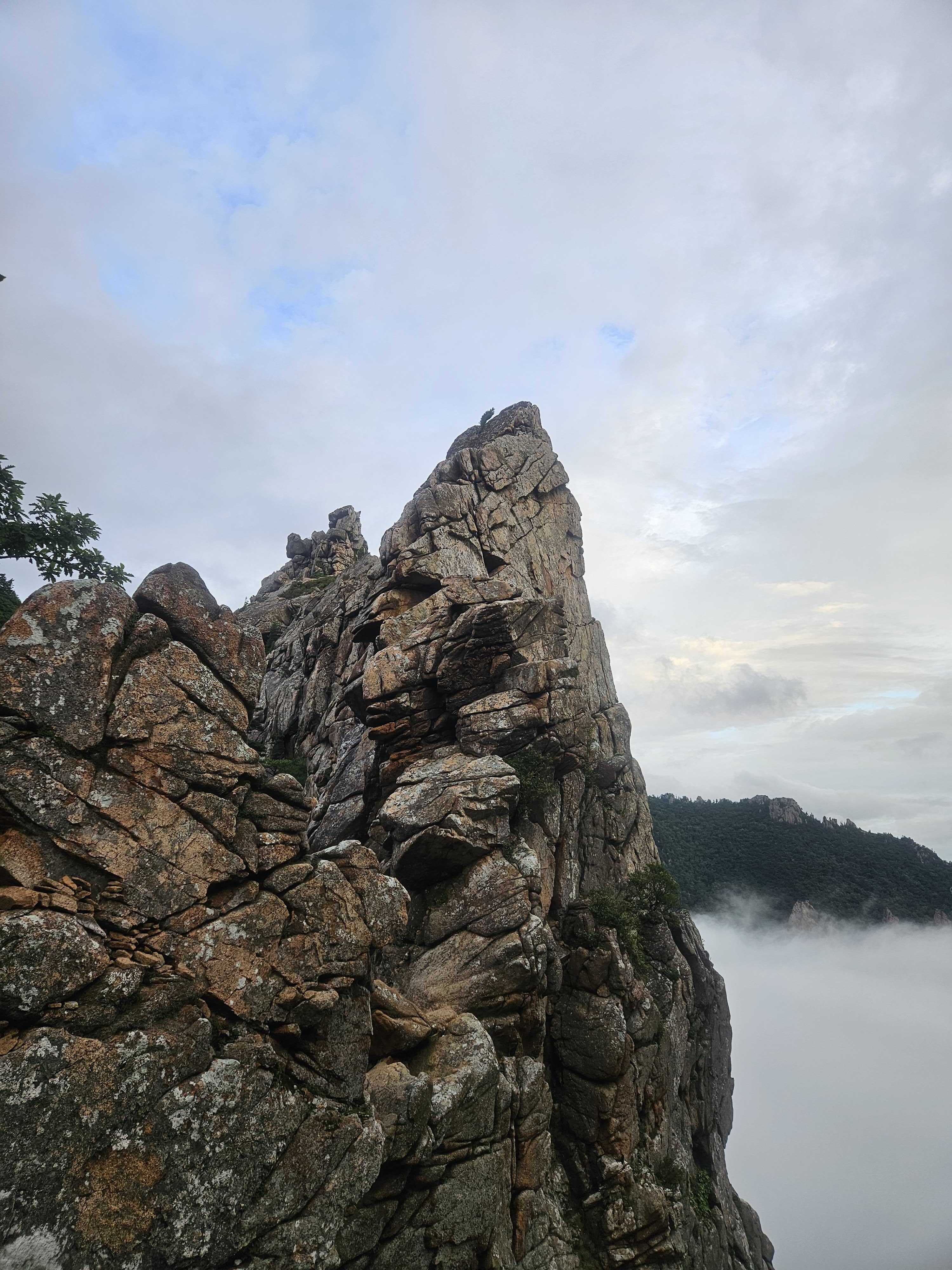
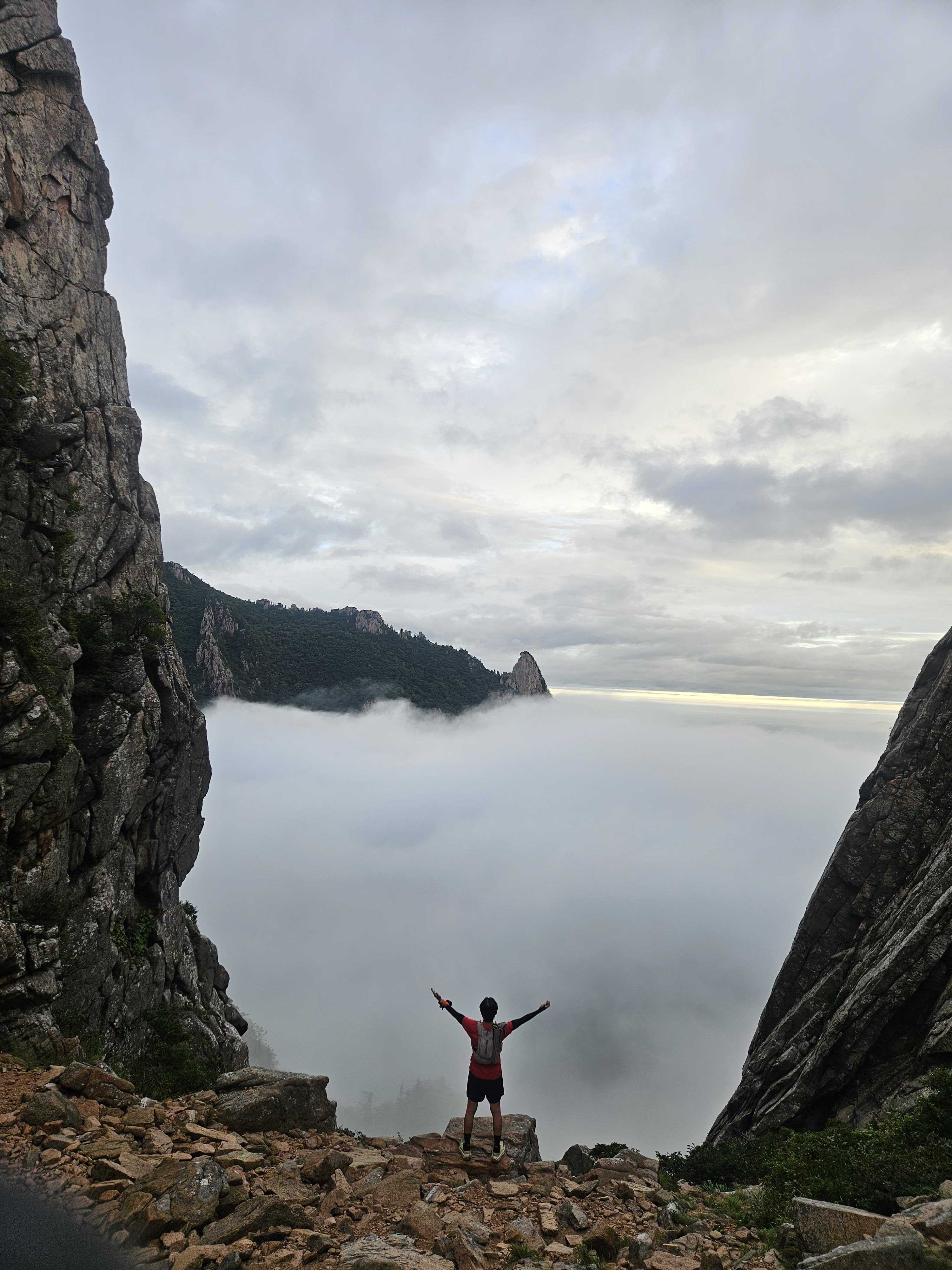
🪜 1275 Peak – The Stairway from Hell
The infamous climb toward 1275 Peak arrived. I stared at my feet and kept moving upward.
I reached the 1275 Peak junction at 06:35. There is an unauthorized route toward the summit, but I skipped it without hesitation. Staying on the designated trail is the right choice.
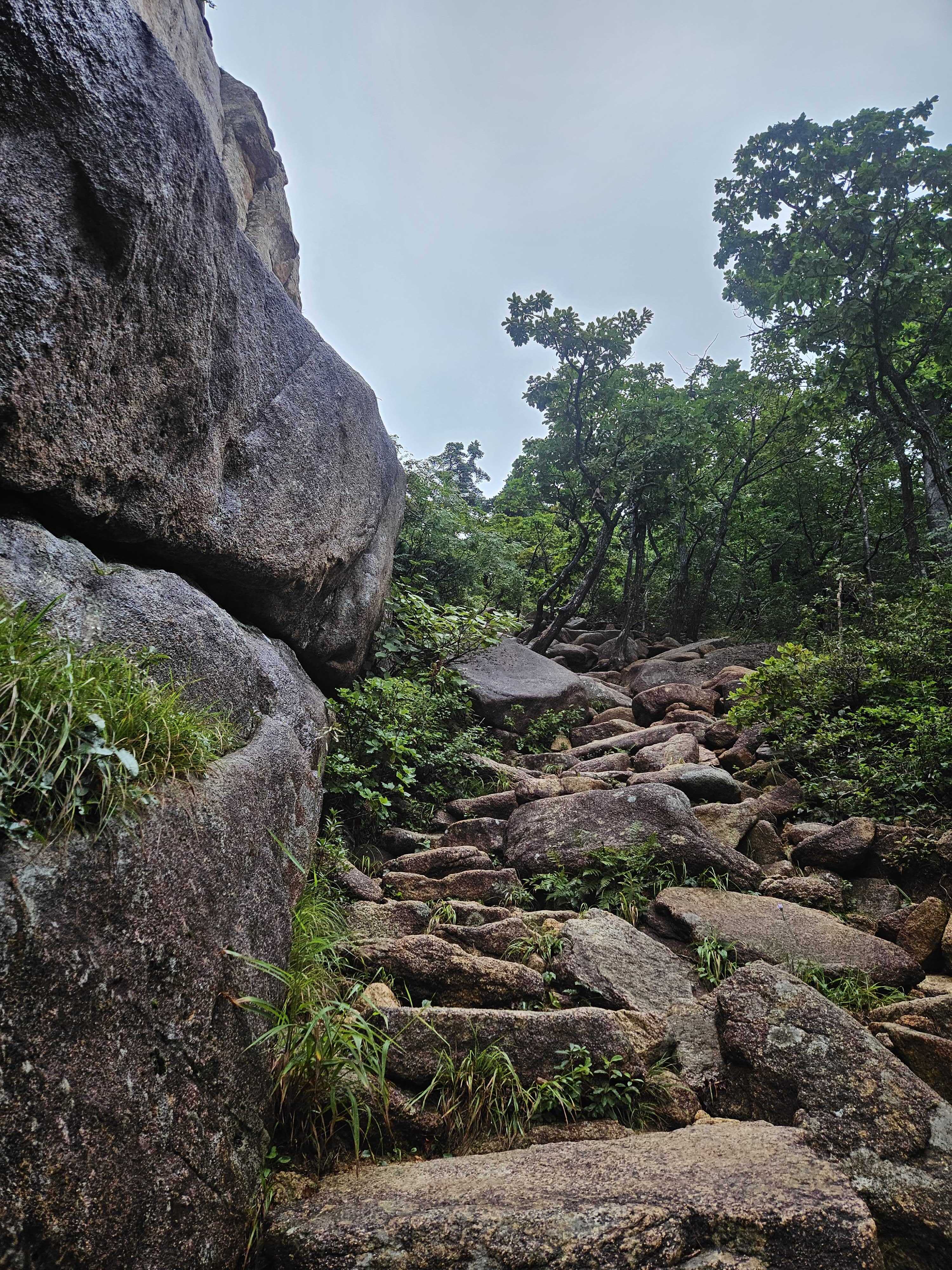
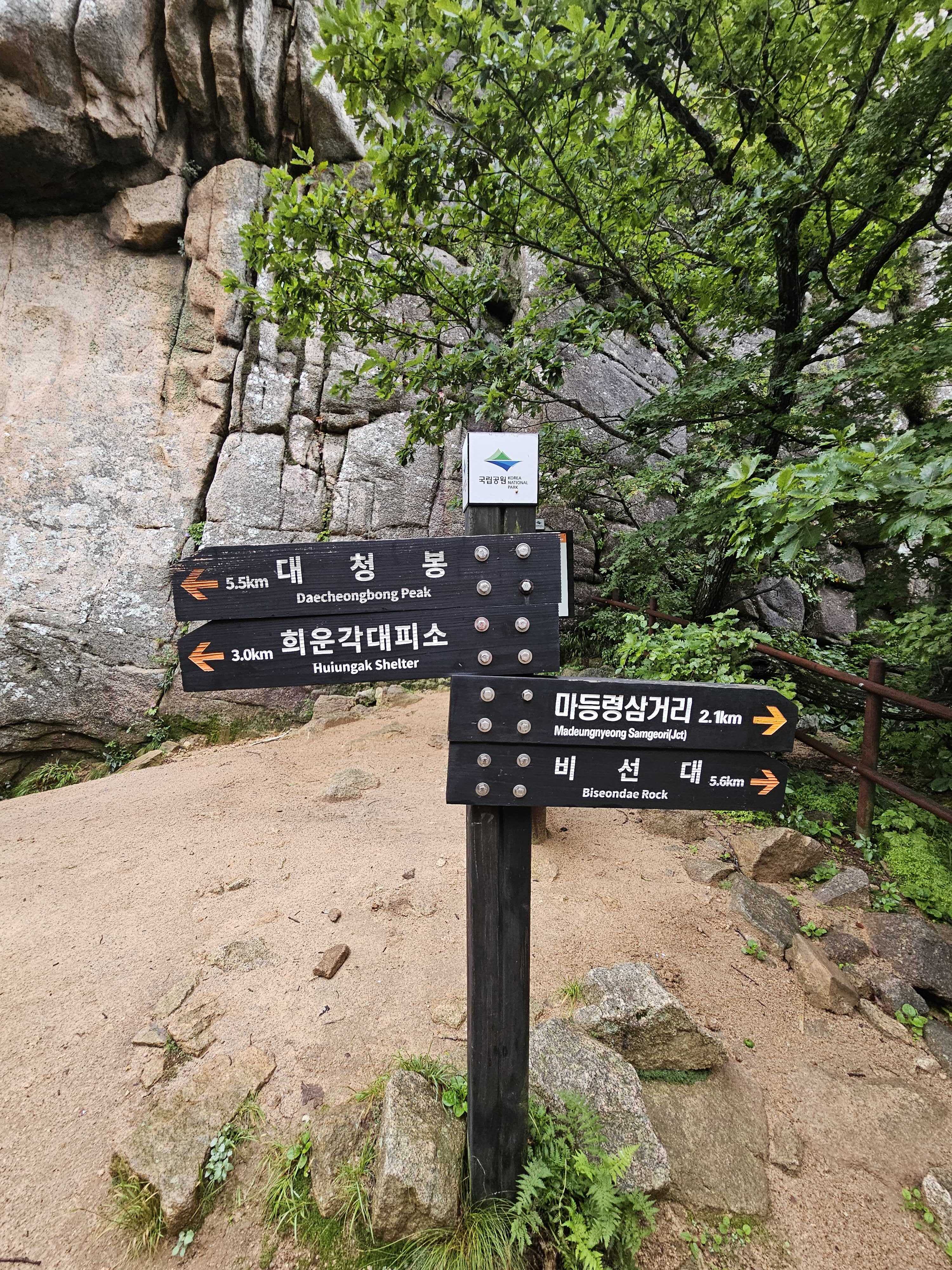
After briefly taking a wrong turn, I corrected course toward Sinseondae.
This time, the Madeungnyeong climb felt harder than Dinosaur Ridge. Madeungnyeong seemed to rise without end, whereas the ridge gave me a descent whenever the climbing began to bite. I could catch my breath downhill before starting up again. The railings and scenery may also have distracted me from the effort.
By the time I reached Noinbong I had only covered about half the ridge, despite feeling as if I had already worked very hard.
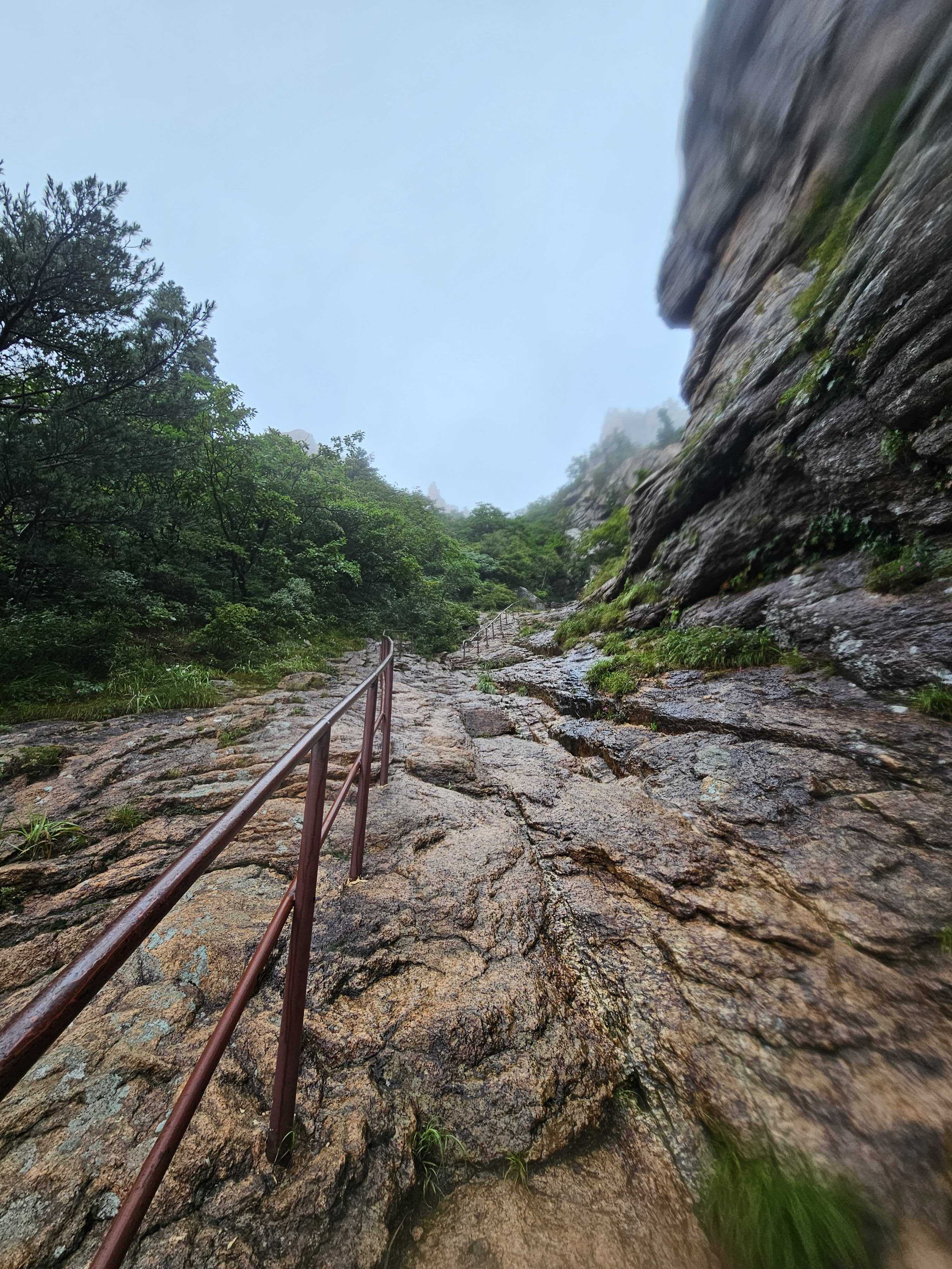
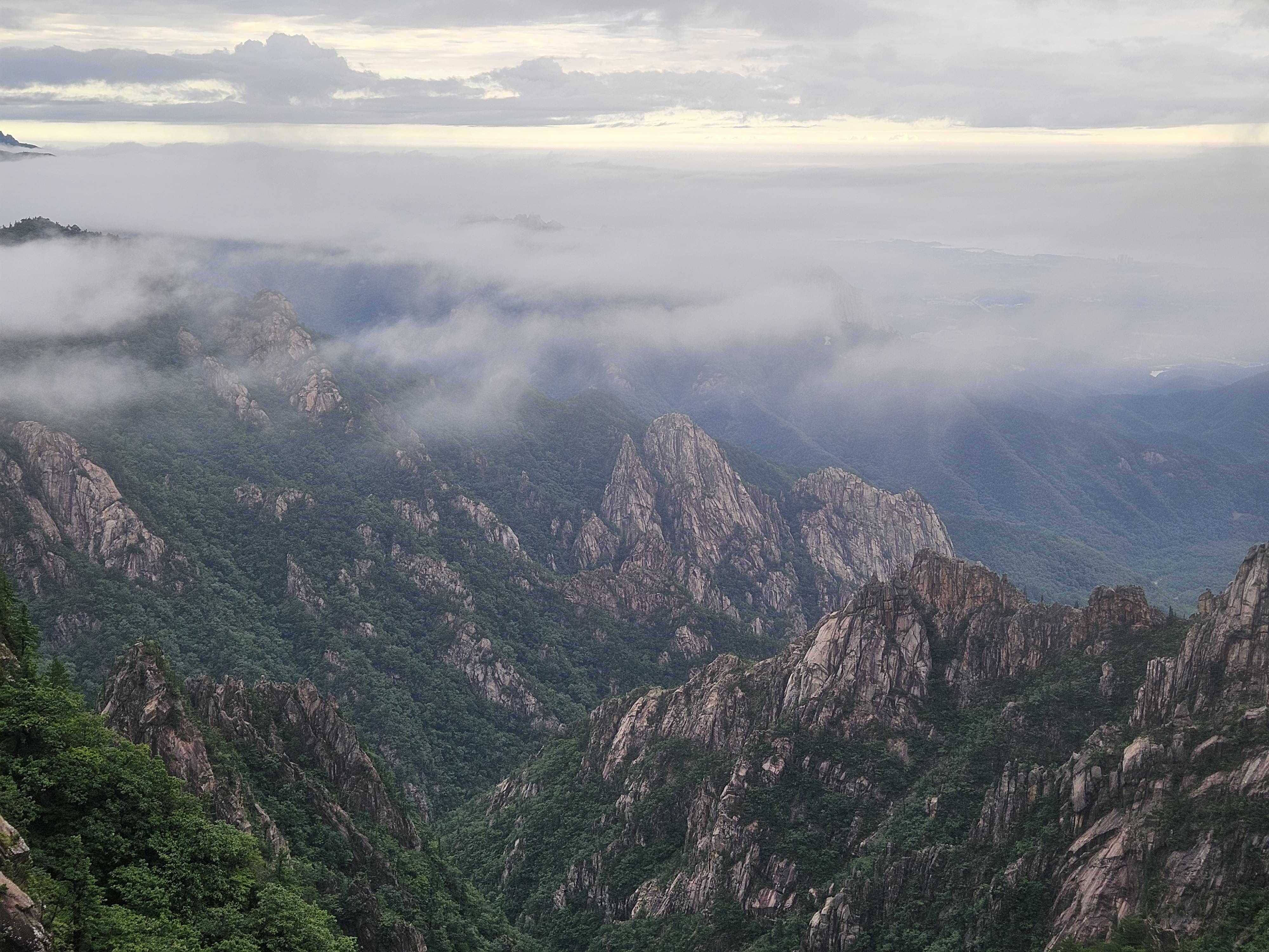
⛰️ Sinseondae – The Final Climb
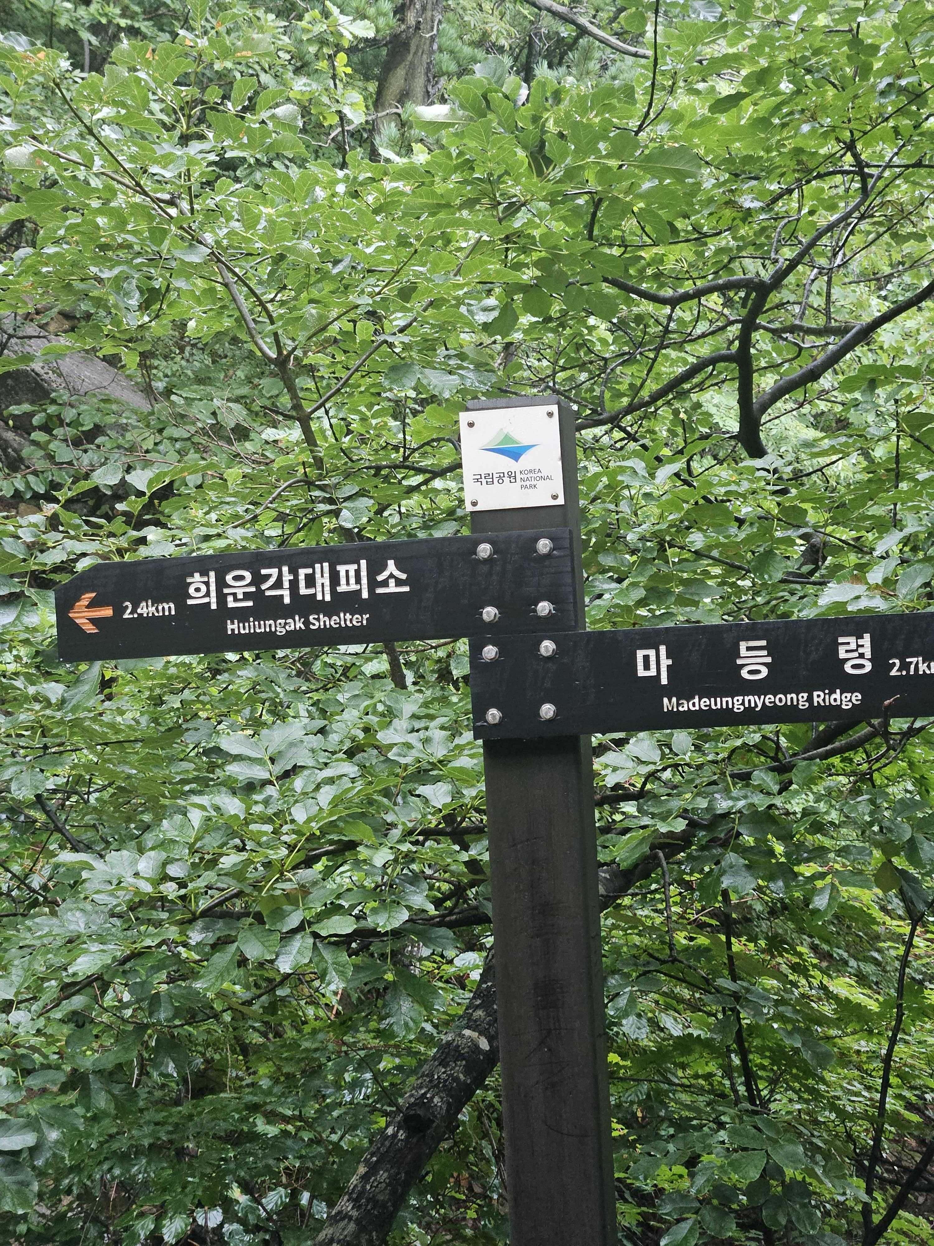
I photographed Ulsanbawi on the way toward Sinseondae. The final ascent was tiring, but the next sign showed only 1 km remaining to Huiungak.
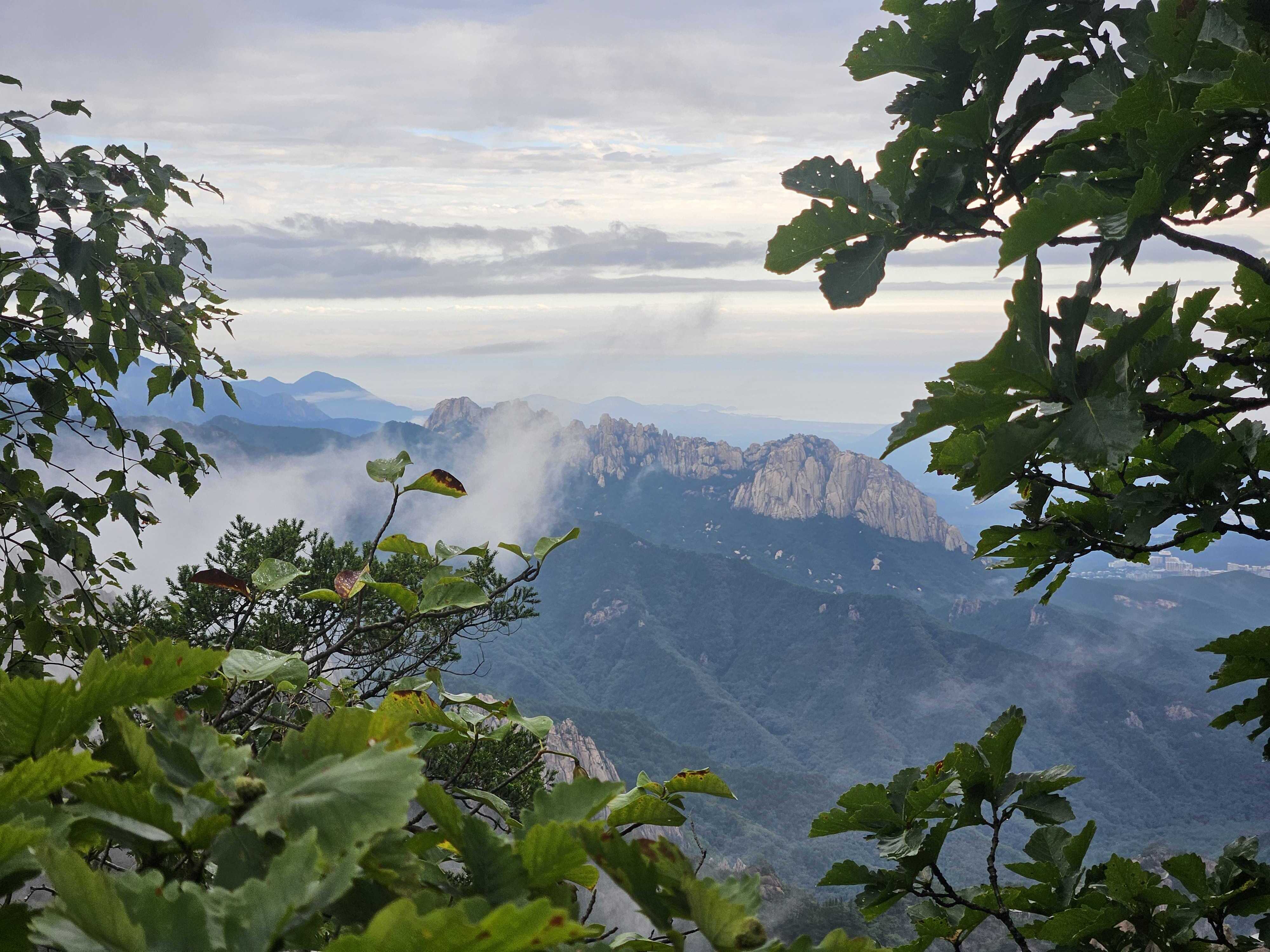
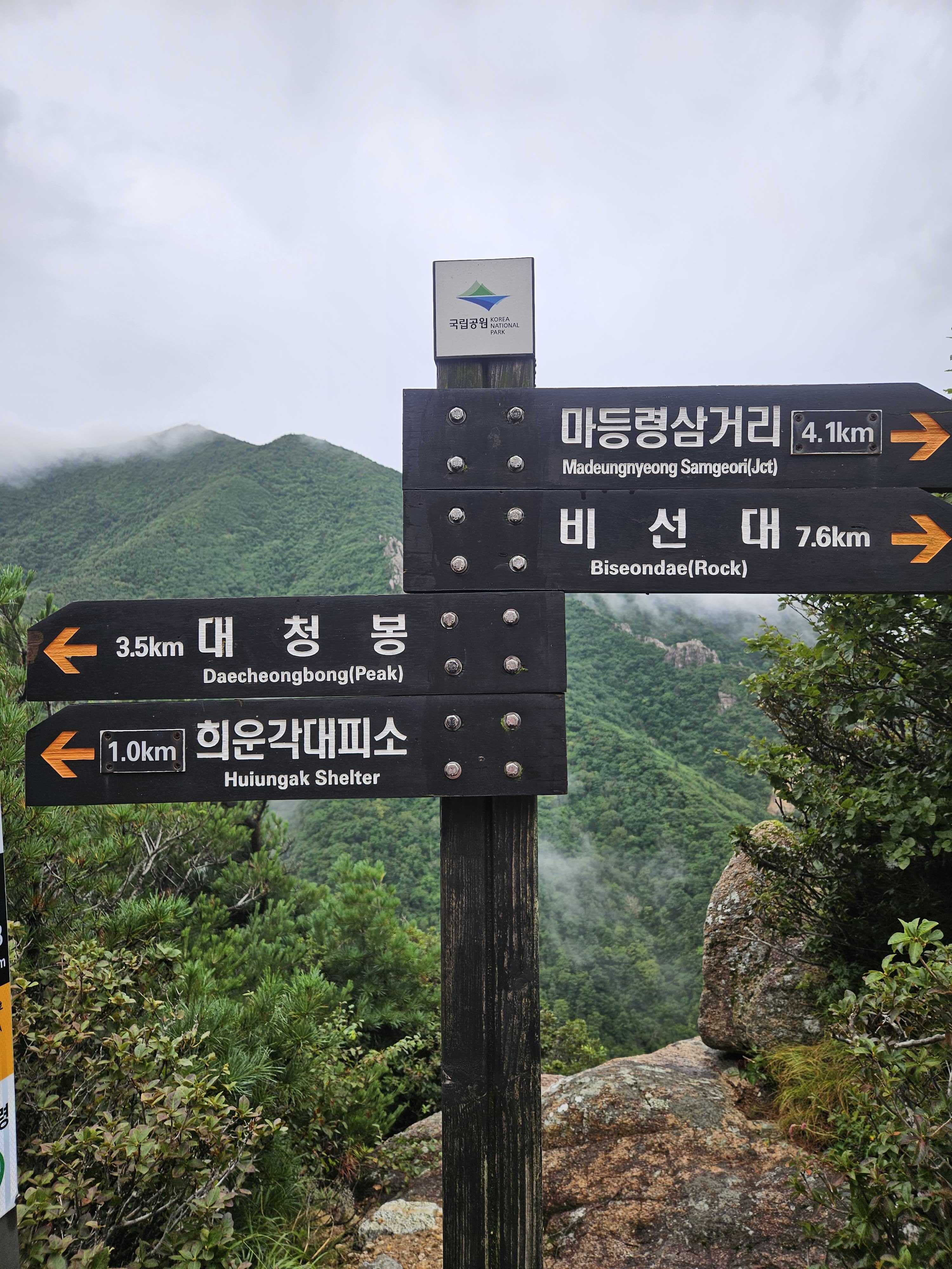
After Sinseondae, the route descended continuously. I moved quickly toward the shelter.
🏕️ Huiungak Shelter – 5 Hours 26 Minutes
I reached Huiungak Shelter at 07:50, 5 hours 26 minutes after leaving Sogongwon.
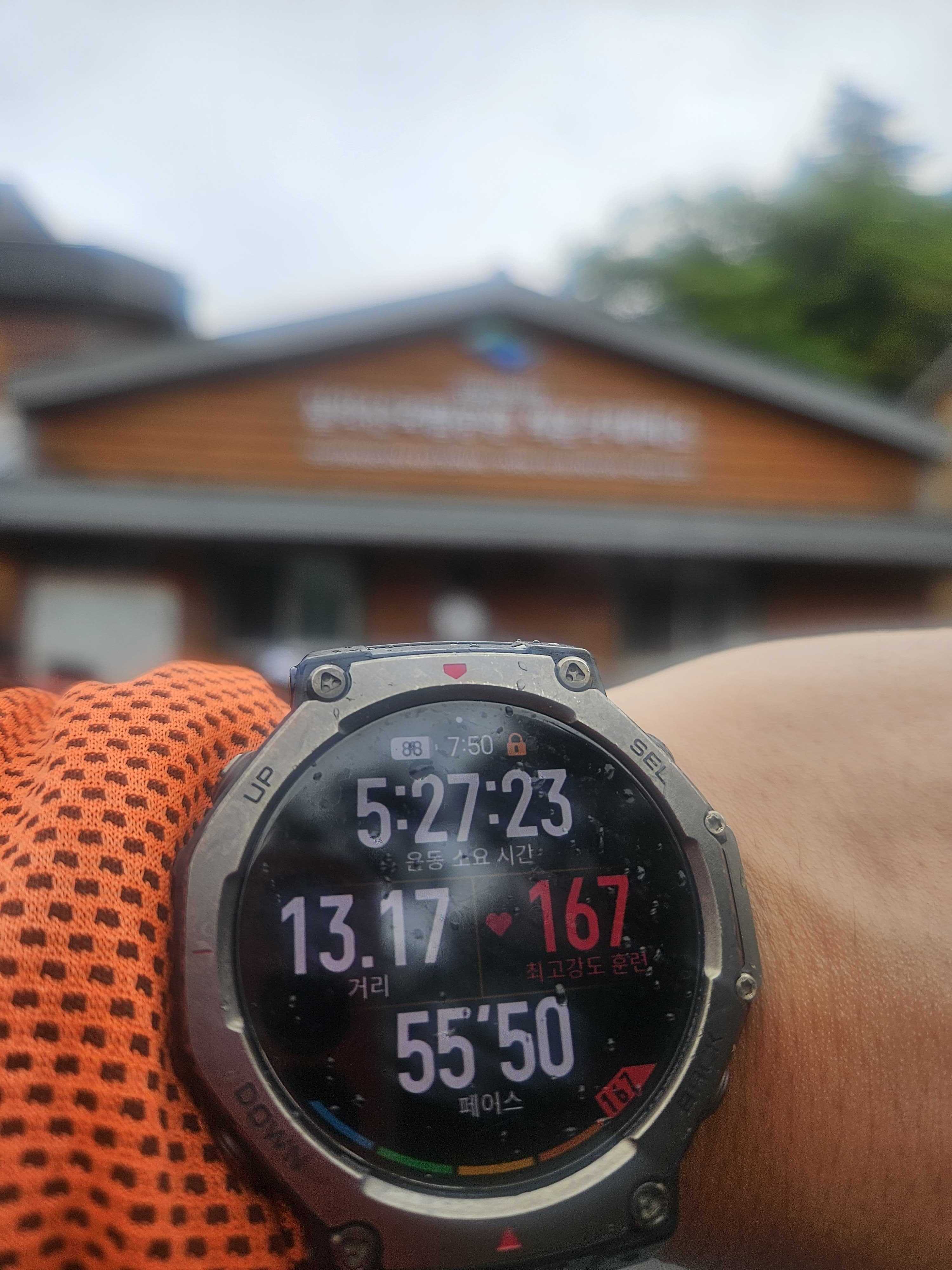
Hikers who had likely stayed overnight and visited Daecheongbong were eating breakfast. I bought 500 ml of water, drank a grain shake, and lay on the floor for about 20 minutes.
I also completed the Blackyak BAC Baekdudaegan certification at Huiungak Shelter, then bought water and ate before setting off again.
A light drizzle began. Rather than being annoying, it washed away the heat and felt wonderful.
I considered adding Daecheongbong, but I needed enough time to buy fried chicken in Gangneung. The summit lost that argument. Gangneung's Seoul Yanggye is worth a visit.
💧 Cheonbuldong Valley – Too Much Water for a Foot Soak
I descended into Cheonbuldong Valley. I had planned to soak my feet, but the rain had raised the water level and the current looked too strong. I washed my face in a shallow section and continued down.
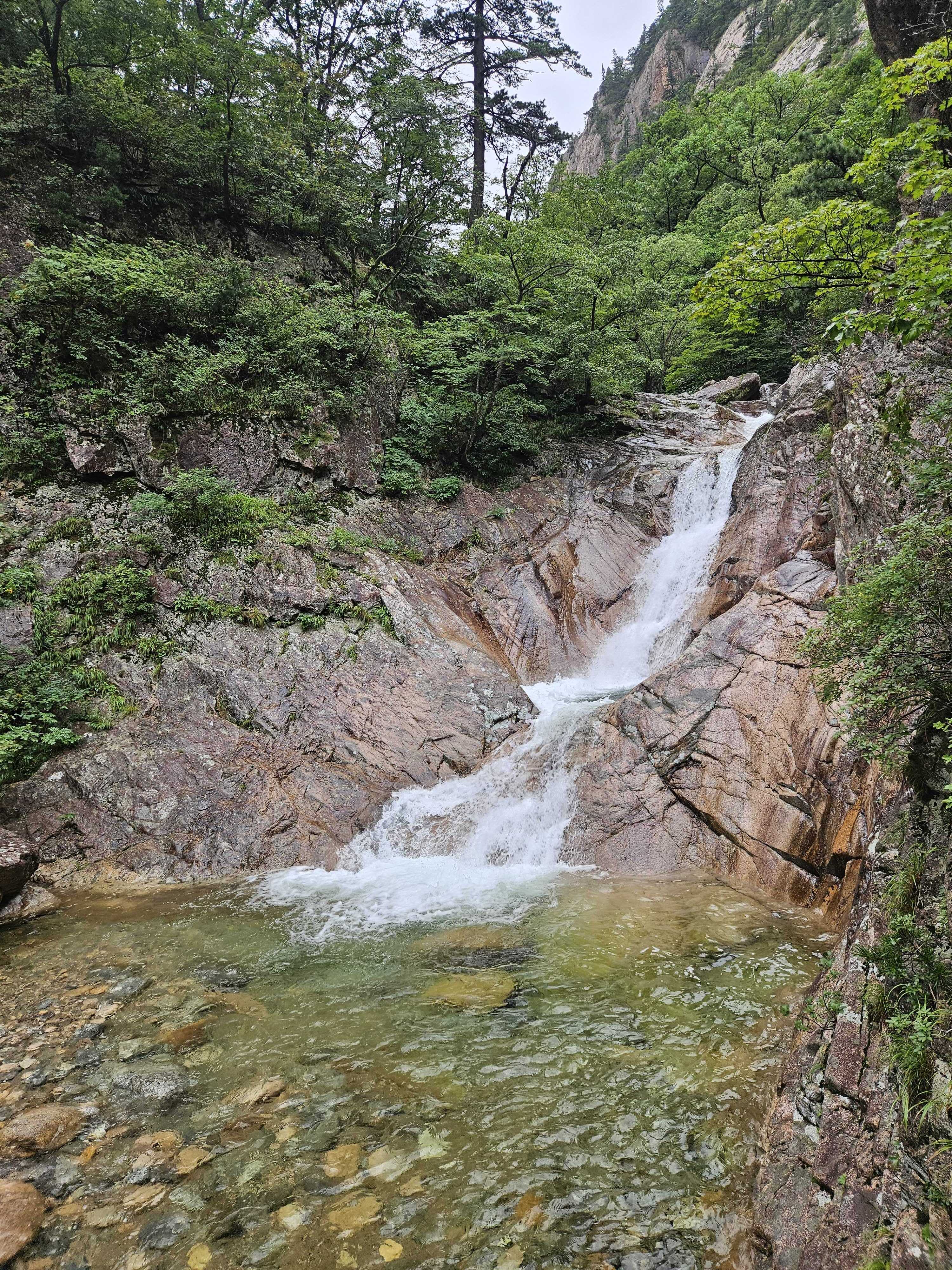
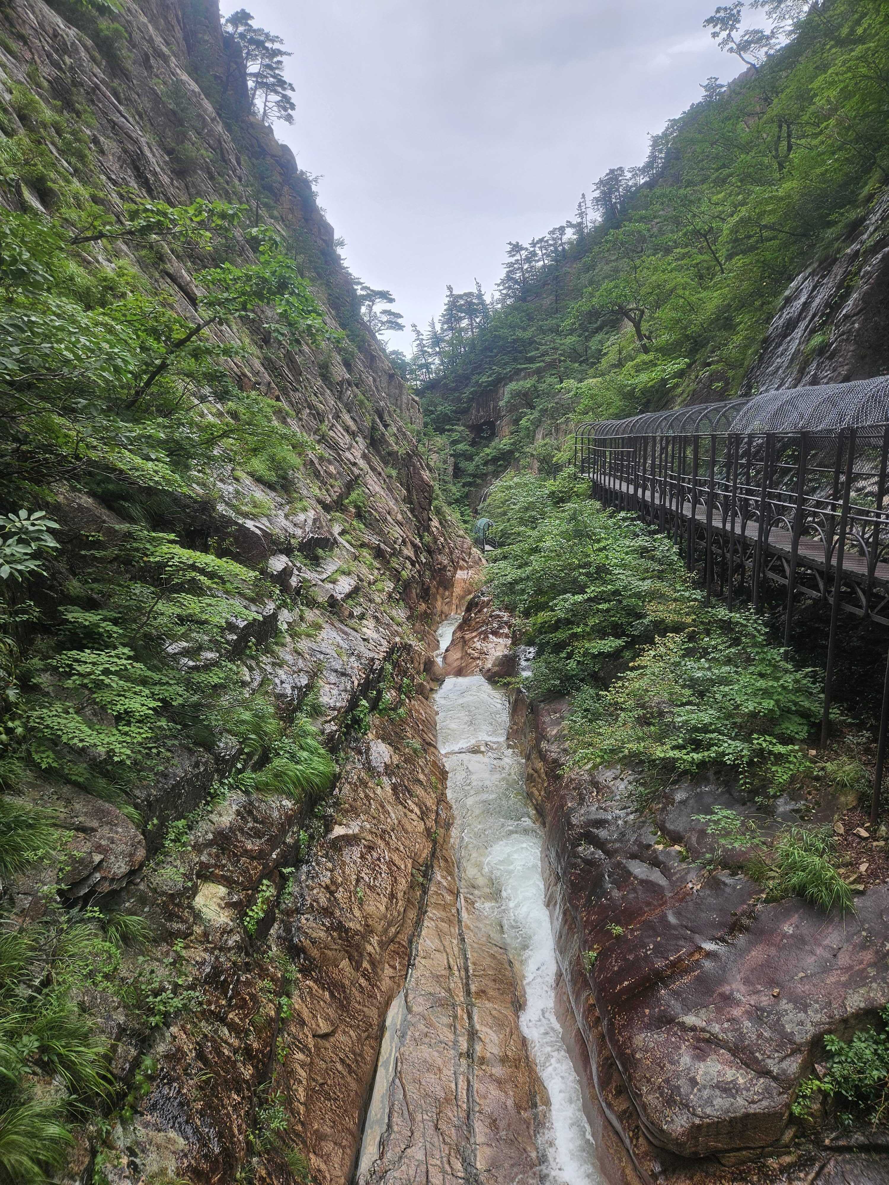
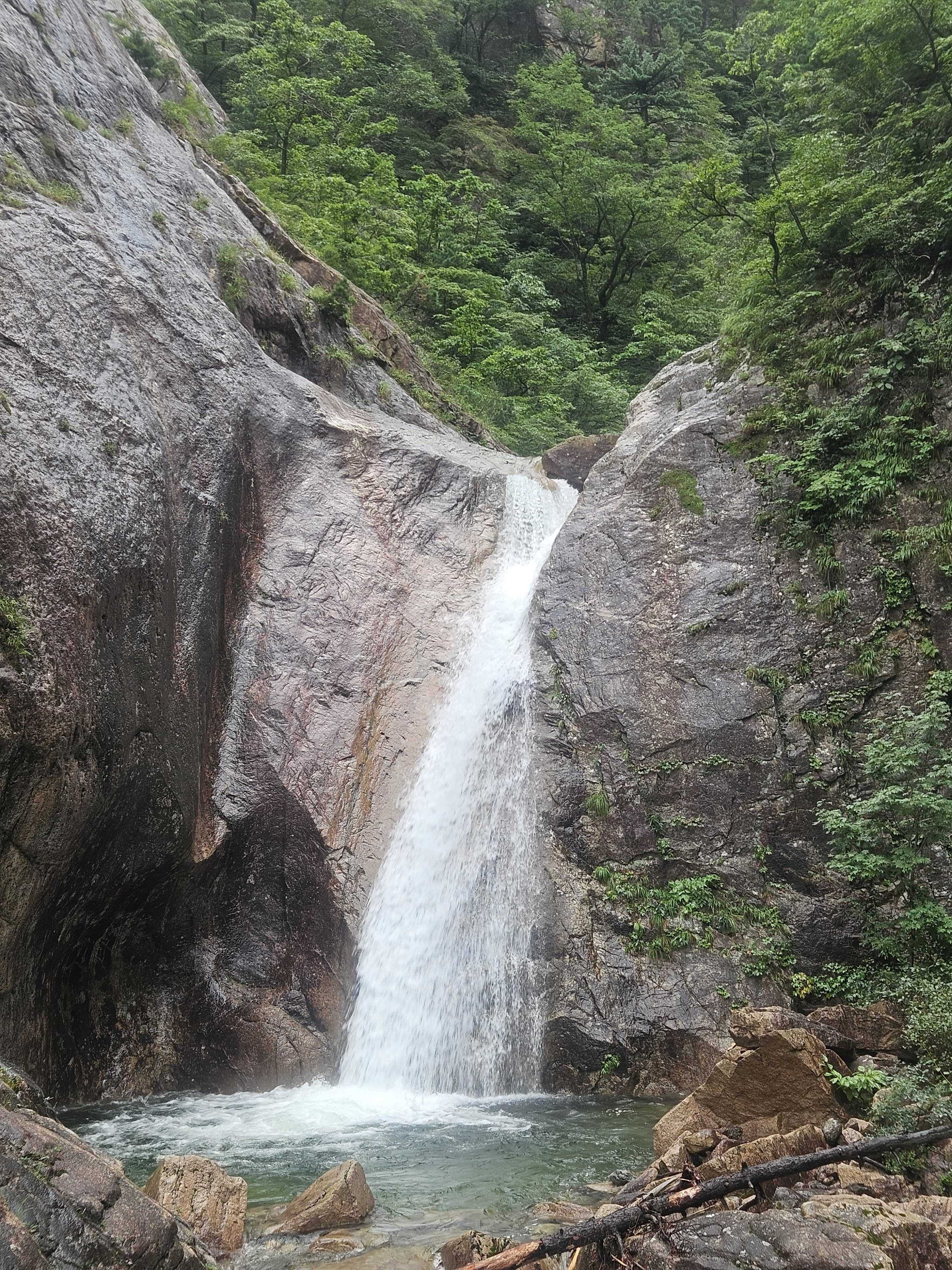
Rock and metal surfaces become especially slippery in rain. I used the railings and chose every foothold carefully.
🏃 Biseondae – A Final Flat Run
I arrived back at Biseondae at 09:23. In daylight I could finally see the scenery hidden by darkness that morning. Many families visit as far as this point.
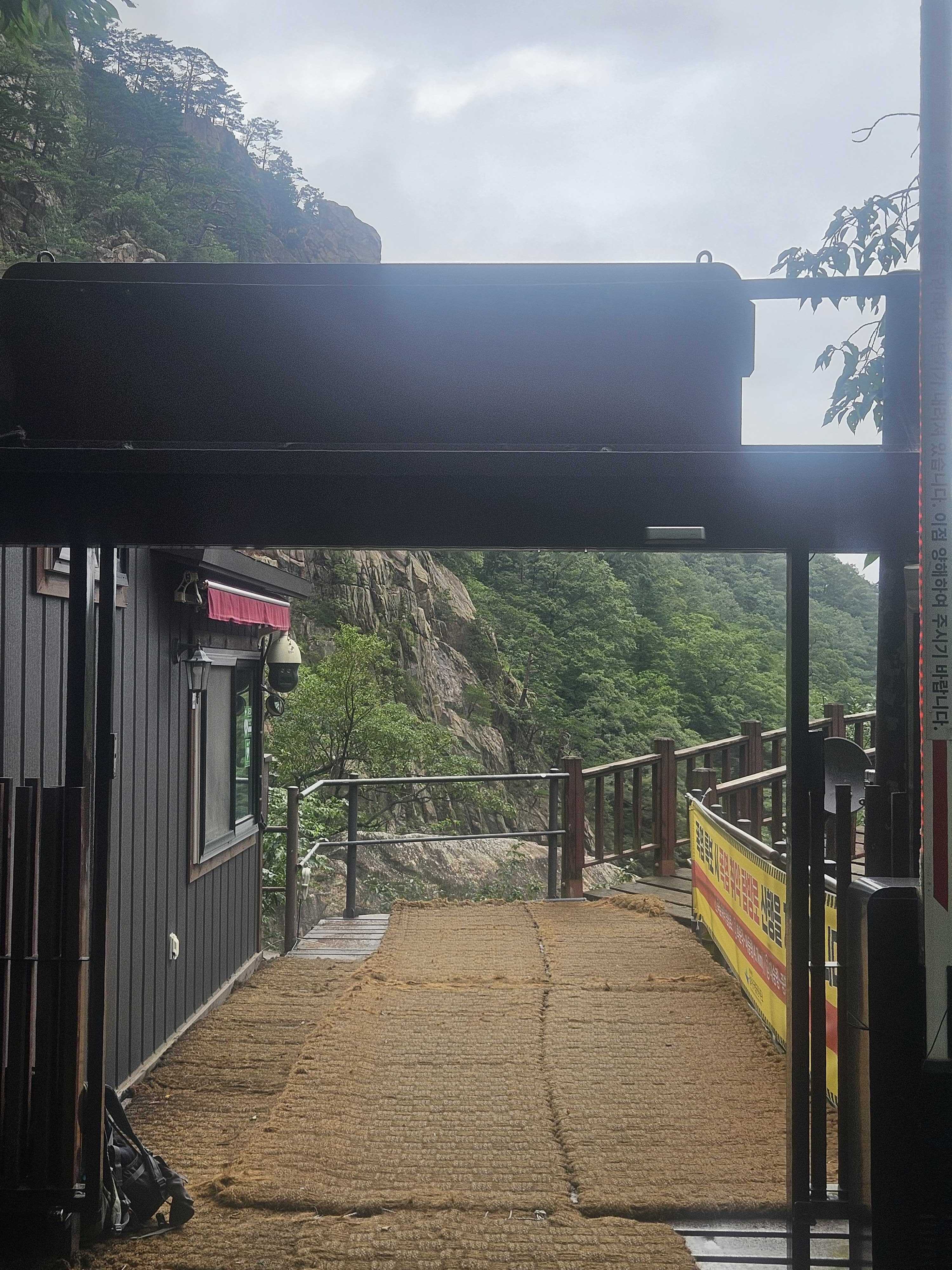
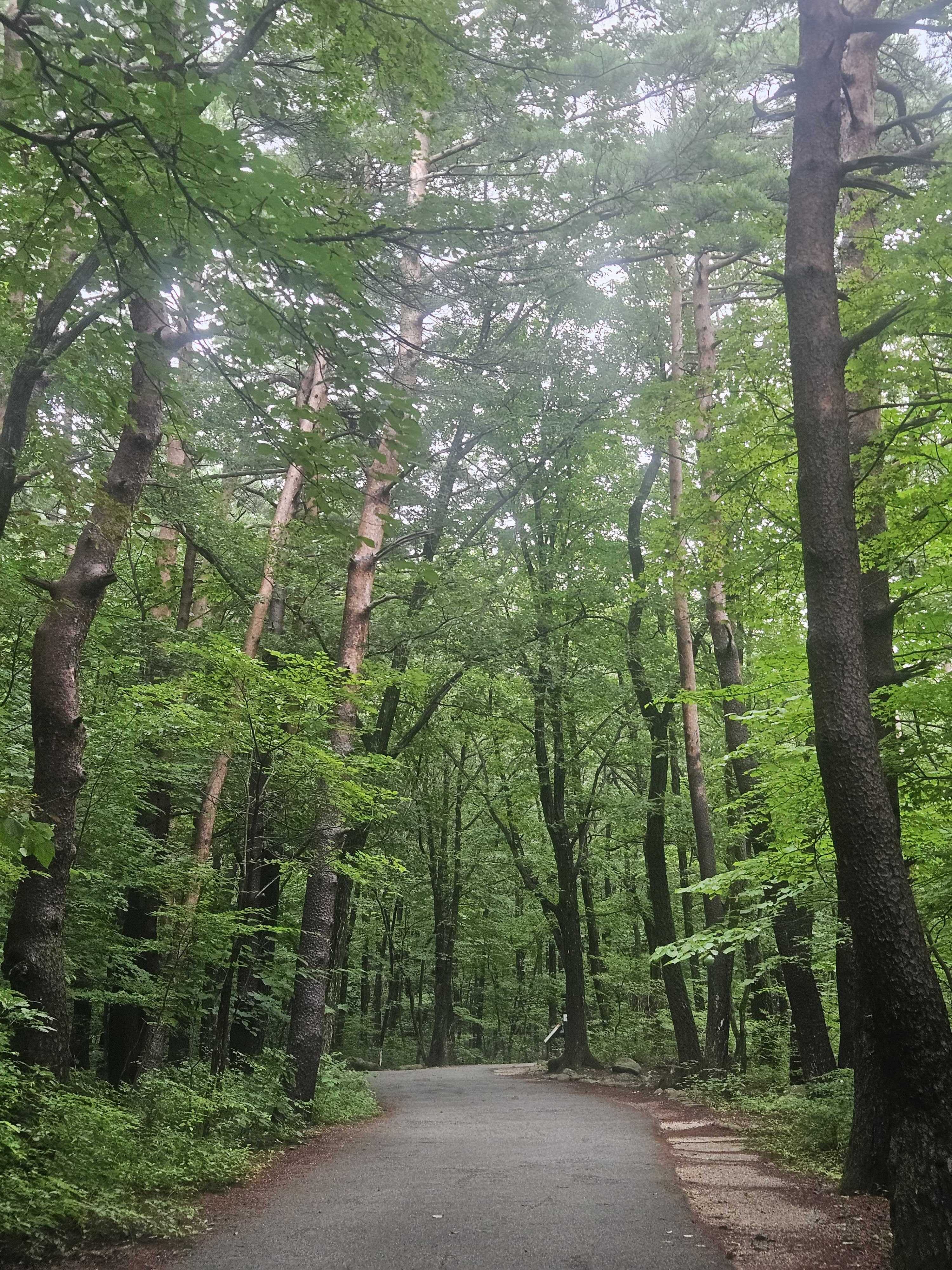
The route from Biseondae to Sogongwon is flat, so I ran lightly to the finish.
🏁 Back at Sogongwon – 7 Hours 27 Minutes
I completed the loop in 7 hours 27 minutes 58 seconds, including rests, over 21.98 km.
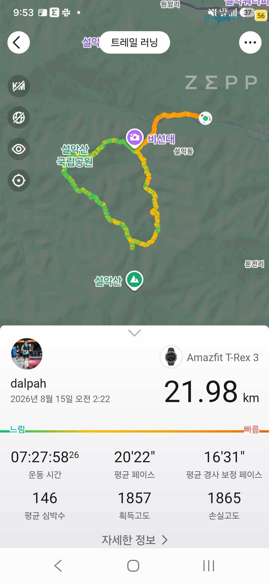
Perhaps sub-seven is possible next time.
In 2024, it took me 12 hours just to reach Socheong Shelter. Two years later, I crossed Dinosaur Ridge, descended Cheonbuldong Valley, and returned to the start in 7 hours 27 minutes. I had improved more than I expected.
I bought a Coke at the convenience store—still the best post-hike drink—then washed up, changed clothes, and left for Gangneung and its fried chicken. By then, a huge stream of cars was entering Sogongwon.
⏱️ Key Splits
| Point | Time | Elapsed | Notes |
|---|---|---|---|
| Sogongwon | 02:24 | 0:00 | Start at the moon-bear figure |
| Biseondae | 02:56 | 0:32 | Gel and poles |
| Madeungnyeong Junction | 04:55 | 2:31 | BAC Baekdudaegan check-in and ten-minute food stop |
| Keunsaebong | 05:50 | 3:26 | 3.9 km to Huiungak |
| King Kong Rock | 06:06 | 3:42 | Photos |
| 1275 Peak junction | 06:35 | 4:11 | Stayed on the legal trail |
| Huiungak Shelter | 07:50 | 5:26 | BAC Baekdudaegan check-in, water, and 20-minute rest |
| Biseondae | 09:23 | 6:59 | Easy run to Sogongwon |
| Sogongwon | Around 09:51 | 7:27 | Loop complete |
✨ Final Thoughts
This Dinosaur Ridge loop was both preparation for the Dynafit Taebaek Trail and a test of two years of progress.
I climbed Madeungnyeong without stopping, slowed down to enjoy the ridge views, rested in the rain at Huiungak, descended through Cheonbuldong Valley, and ran the final flat kilometres.
21.98 km in 7 hours 27 minutes. Compared with the hiker I was two years ago, that result is more than satisfying.
Next time, the fried chicken may have to wait while I add Daecheongbong.
❓ FAQ
What is the Sogongwon Dinosaur Ridge loop?
It runs from Sogongwon through Biseondae and Madeungnyeong, crosses Dinosaur Ridge to Huiungak Shelter, and returns through Cheonbuldong Valley and Biseondae. My recorded distance was 21.98 km.
Are there restrooms at Sogongwon Parking Lot?
Yes. Restrooms were available before and after my early-morning hike.
How much is parking?
At the time of my visit, passenger cars were KRW 6,000 and stays of 12 hours or longer were KRW 10,000. I paid KRW 10,000 in case the day ran long. Check the current sign on arrival because fees may change.
Can I buy water on the route?
I bought a 500 ml bottle at Huiungak Shelter. Availability and stock can change, so carry enough water from the start.
Can hikers climb to the top of 1275 Peak?
The route toward the summit leaves the designated trail. Stay on the official marked route, as I did on this trip.
Where are the Blackyak BAC Baekdudaegan certification points on this route?
I completed Blackyak BAC Baekdudaegan check-ins at Madeungnyeong Junction and Huiungak Shelter. Confirm the GPS location and current certification point in the BAC app when you arrive.