GuideSindo Gubongsan Shortest Route: Parking and Hiking Guide
A firsthand guide to Sindo Gubongsan's 4.1 km loop from Sindo Jang Supermarket, with parking, road access, route timing, and Blackyak certification tips.
A new road has opened to Sindo, Sido, and Modo, three islands that previously required a ferry ride from Sammok Port on Yeongjongdo. Since the Yeongjong–Sindo Peace Road opened on July 14, 2026, it is now possible to drive directly to Sindo.
I visited Sindo to see the newly opened bridge and added a hike up Gubongsan, a Black Yak Island & Mountain 100 certification peak. Because it was a hot day, I kept the pace brisk and treated it as a short hiking workout.
Quick answer: For Gubongsan on Sindo in Ongjin County, Incheon, park in the small lot behind Sindo Jang Supermarket. The clockwise direction is shorter if you only need the summit, while the complete loop via Haedanghwa Flower Trail covers 4.10 km and takes about one hour.
📌 Hike at a Glance
| Item | Details |
|---|---|
| Route | Sindo Jang Supermarket → Forest road → Pavilion → Gubongsan summit → Haedanghwa Flower Trail → Sindo Jang Supermarket |
| Distance | 4.10 km |
| Moving time | 57 min 49 sec |
| Elevation gain | 224 m |
| Difficulty | Easy (stairs and a moderately steep slope just below the summit) |
| Parking | Small open lot behind Sindo Jang Supermarket |
| Black Yak certification | Island & Mountain 100 certification available at Gubongsan summit |
💡 Shortest-route tip: If your only goal is to reach the summit for certification, the clockwise direction from Sindo Jang Supermarket appears to be shorter. The full loop takes only about an hour, however, so I recommend including both the forest road and Haedanghwa Flower Trail.
🌉 Driving Instead of Taking a Ferry: The Yeongjong–Sindo Peace Road
The opening of the Peace Road connecting Yeongjongdo and Sindo was the reason for this trip. The new section is a 3.26 km, two-lane road, and there is no toll. It is a general-purpose road open not only to cars but also to motorcycles, bicycles, and pedestrians.
Simply crossing the bridge into Sindo made the journey feel completely different from a traditional island trip. More information about the opening is available in this Asia Time article in Korean.
🚗 Parking for the Gubongsan Shortest Route: Sindo Jang Supermarket
Set your navigation destination to Sindo Jang Supermarket. There is a small open lot behind the store that appears to serve as a village parking area. It was quiet on a weekday, so I parked there and began the hike.
📍 Sindo Jang Supermarket
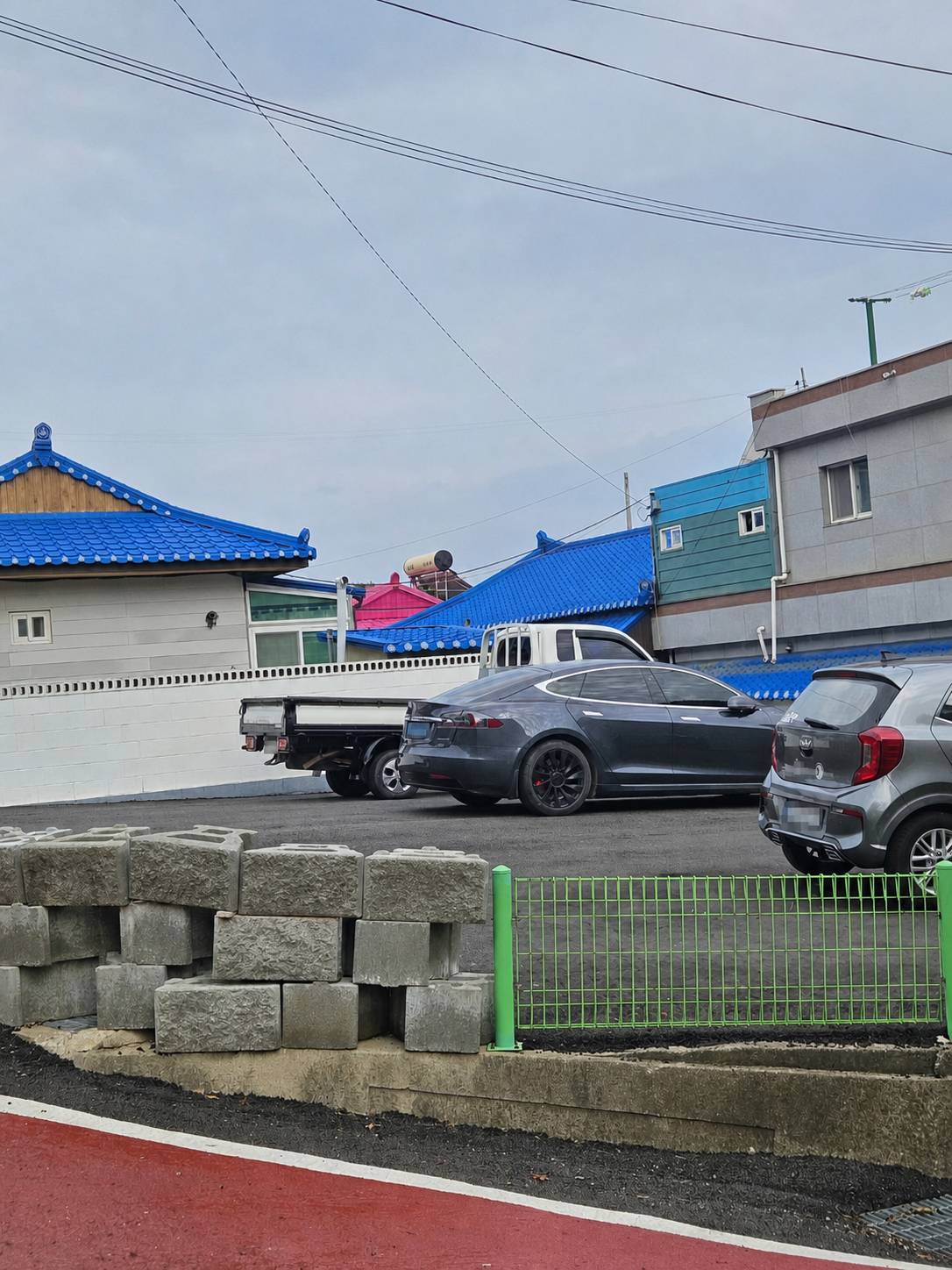
I bought one 500 ml bottle of water at the store and set off with a light pack. Walk a short distance toward Sindo Church, then turn right and head uphill toward the trail entrance.
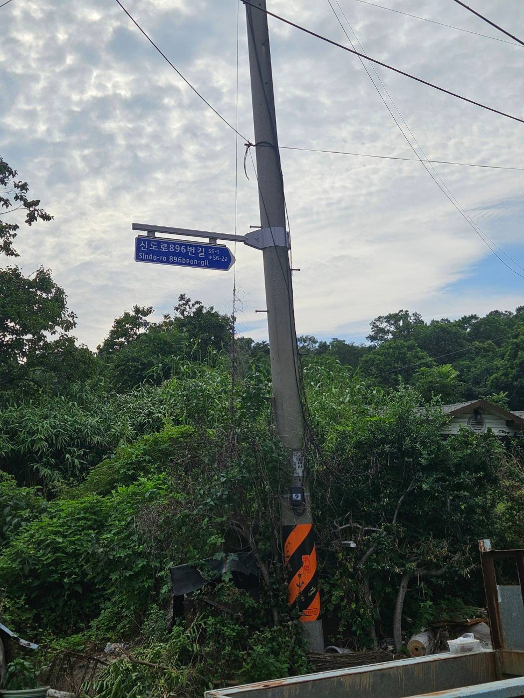
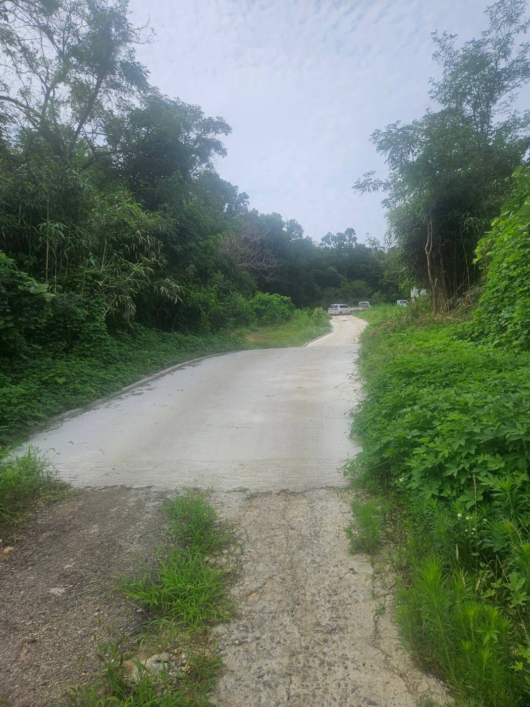
Follow the well-maintained concrete lane for a short distance, and the actual hiking trail entrance soon comes into view.
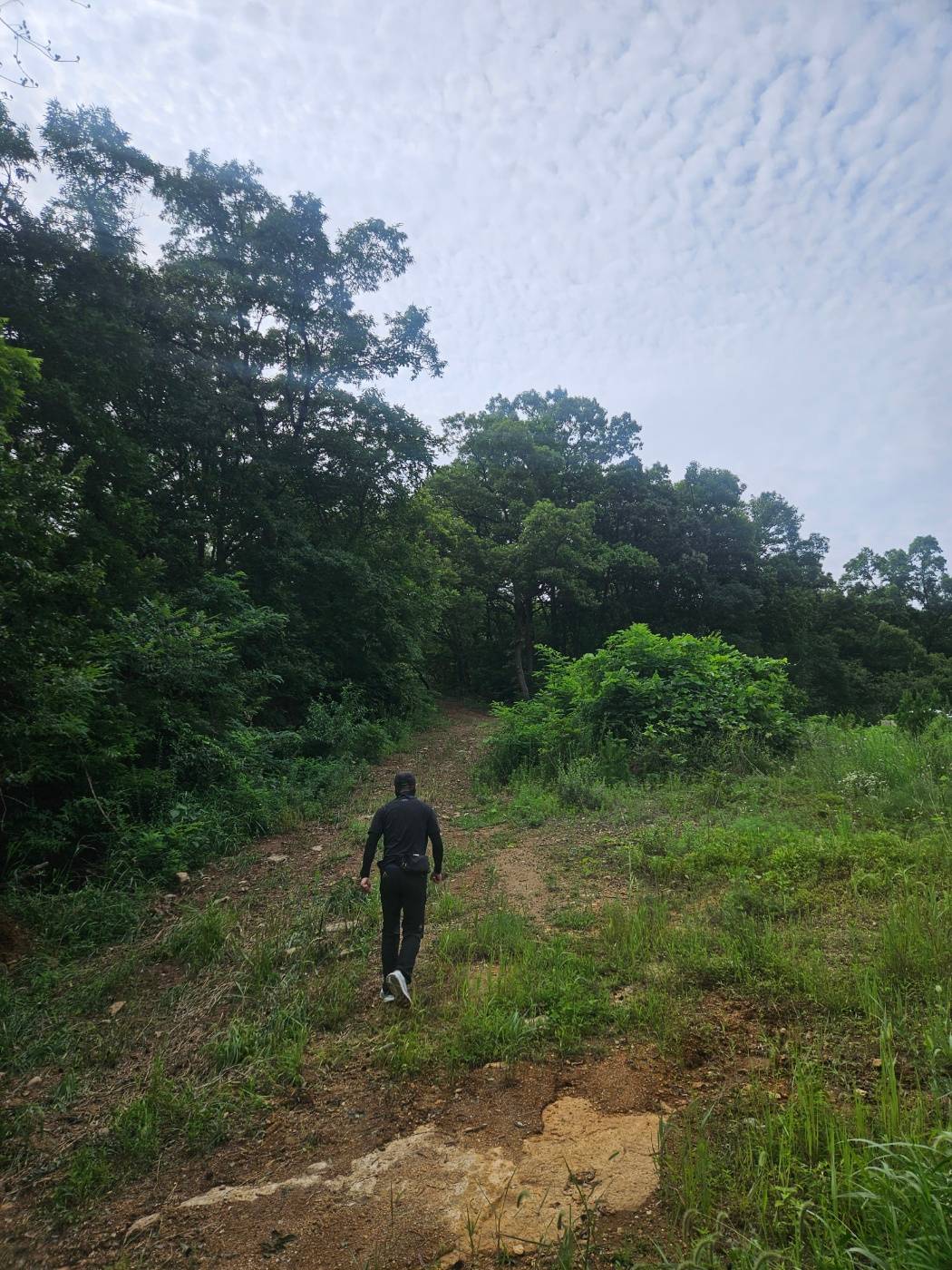
🌿 Following the Gentle Forest Road to the Pavilion
The first section follows a gently graded forest road. There is very little effort required, and short stretches of concrete pavement appear along the way. The road looked driveable, but I continued on foot because hiking was the point of the visit.
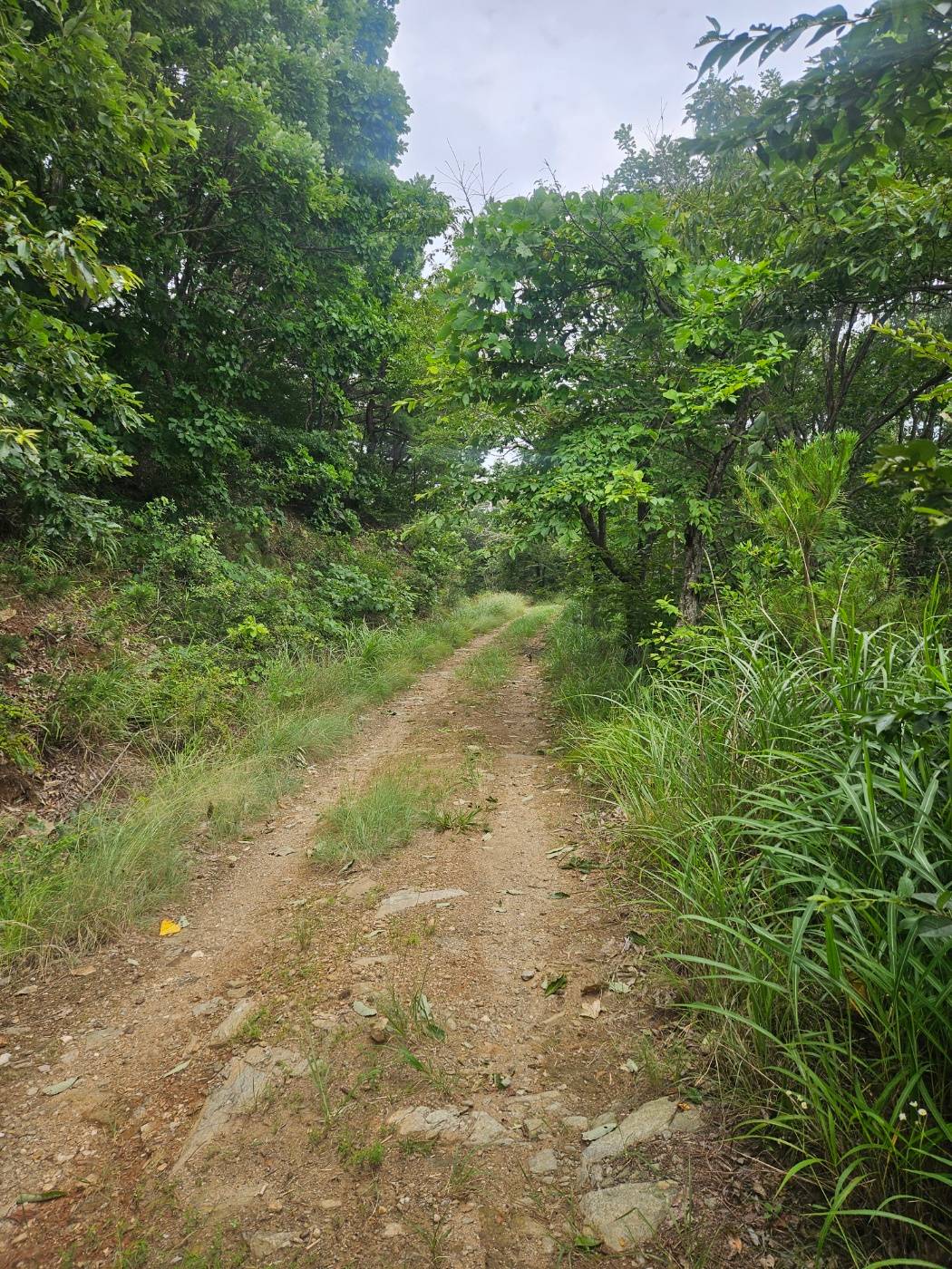
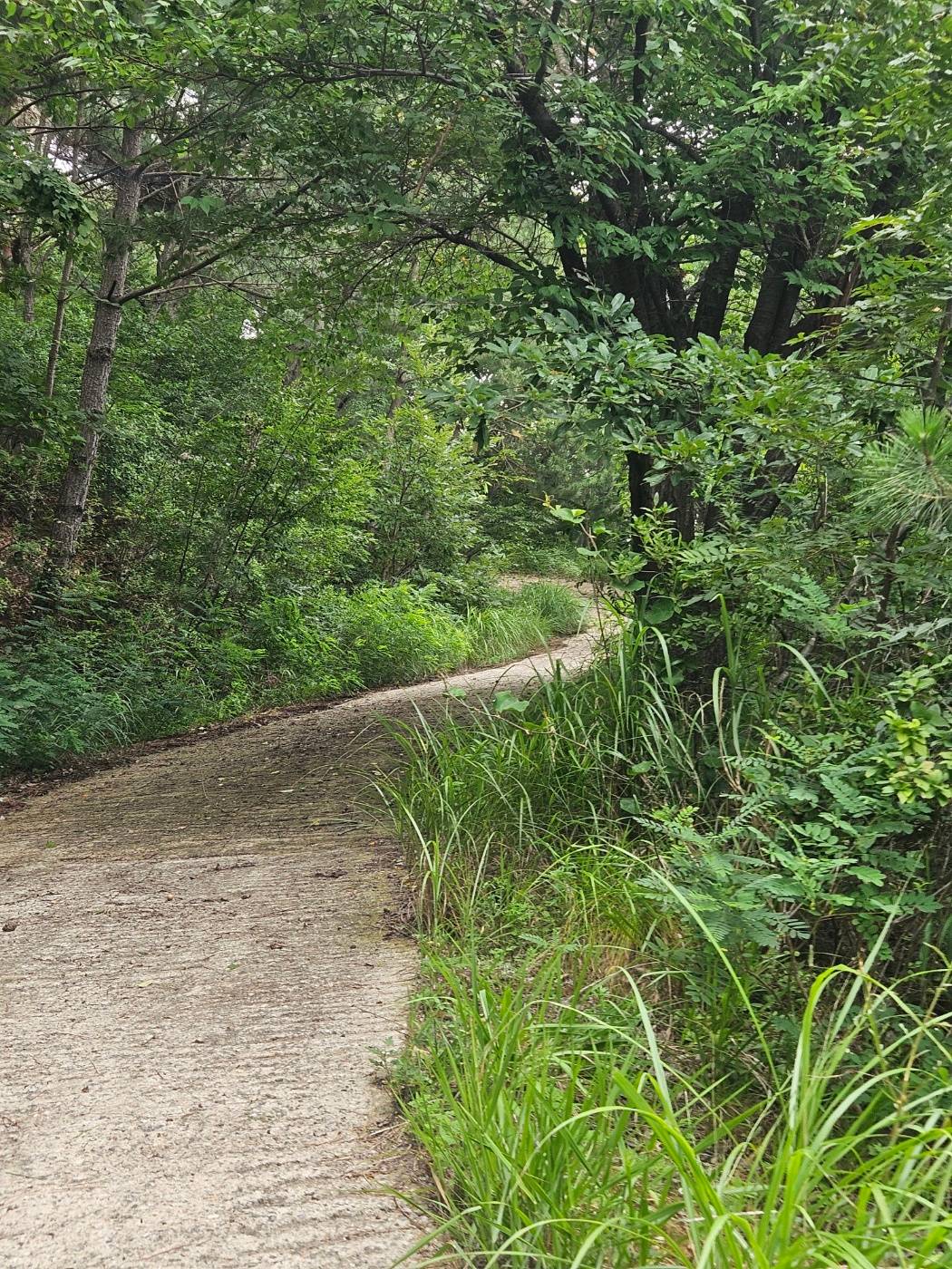
Signposts appear regularly, making it easy to confirm that you are heading in the right direction. At each junction, simply follow the signs for Gubongsan.
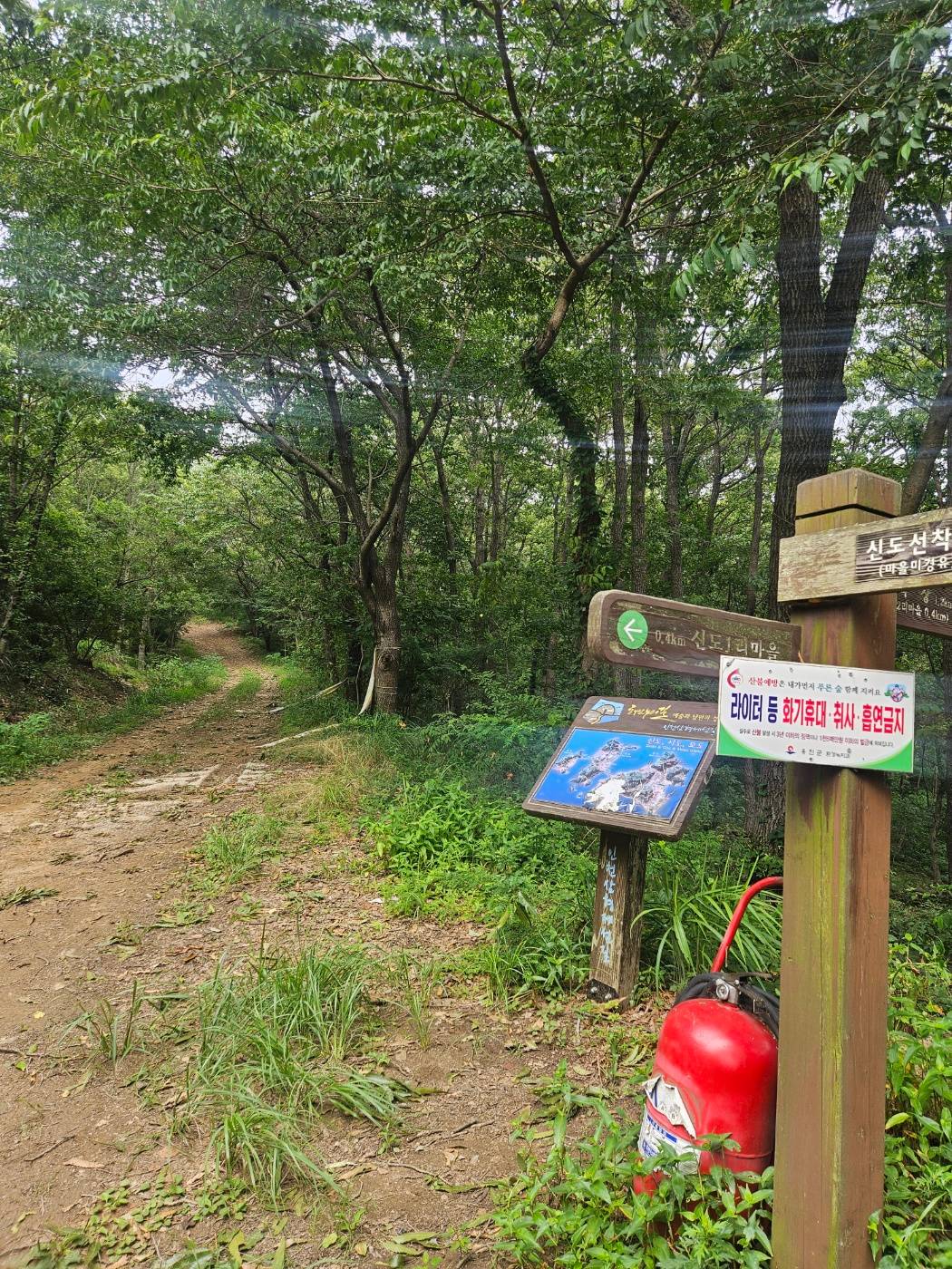
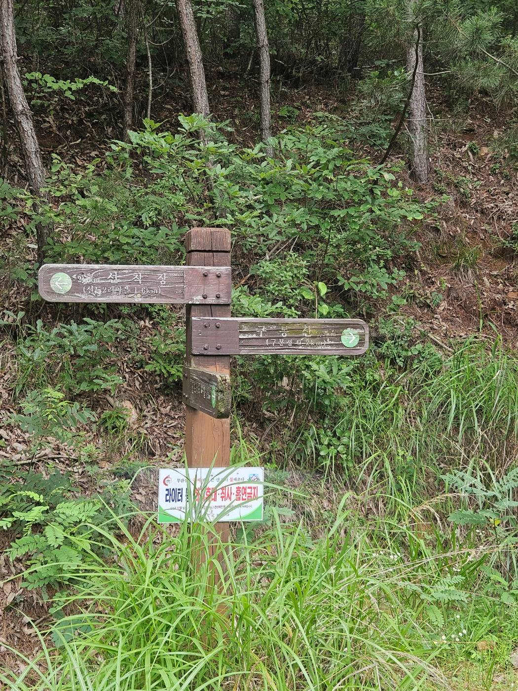
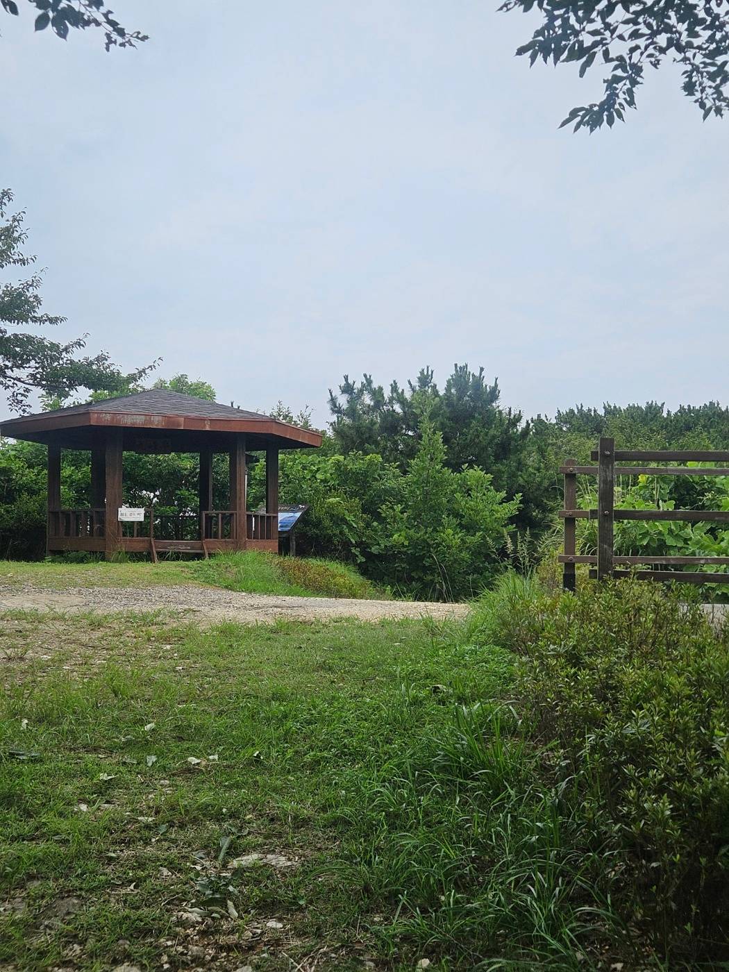
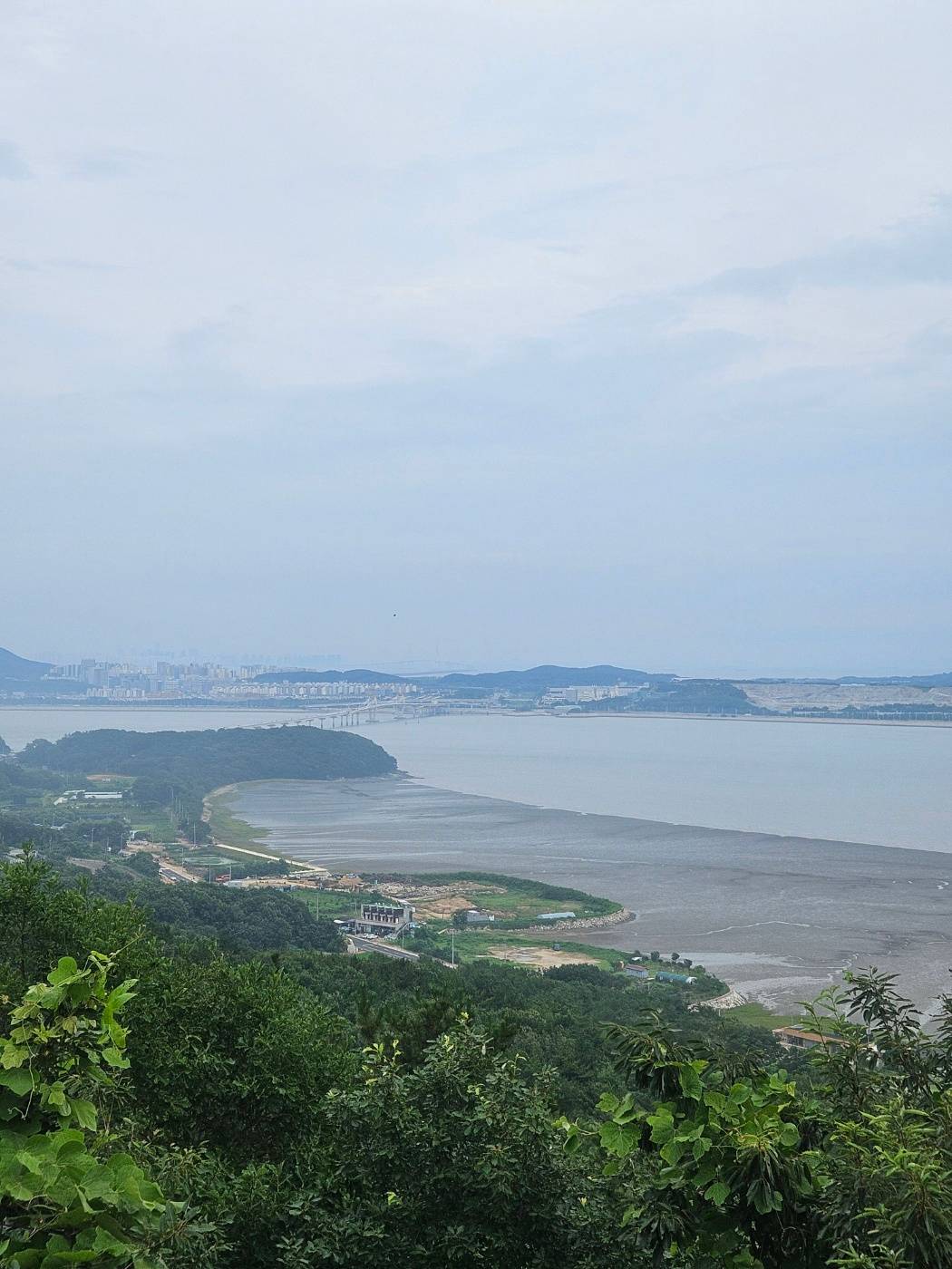
A pavilion appears near the end of the gentle forest-road section. Beside it, I could see the newly opened bridge connecting Yeongjongdo and Sindo. After walking through the enclosed forest, the sudden open view felt especially refreshing.
🕸️ The Mountain Trail Begins Across from the Pavilion
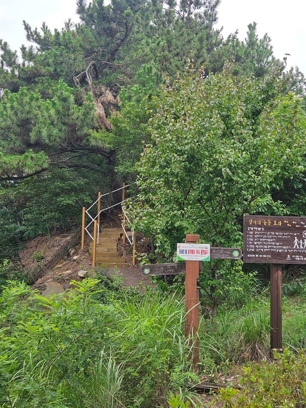
The entrance to the summit trail is visible across from the pavilion. Unlike the gentle forest road, this section includes occasional stairs and a somewhat steeper incline. It is not long, so the climb remains manageable at a steady pace.
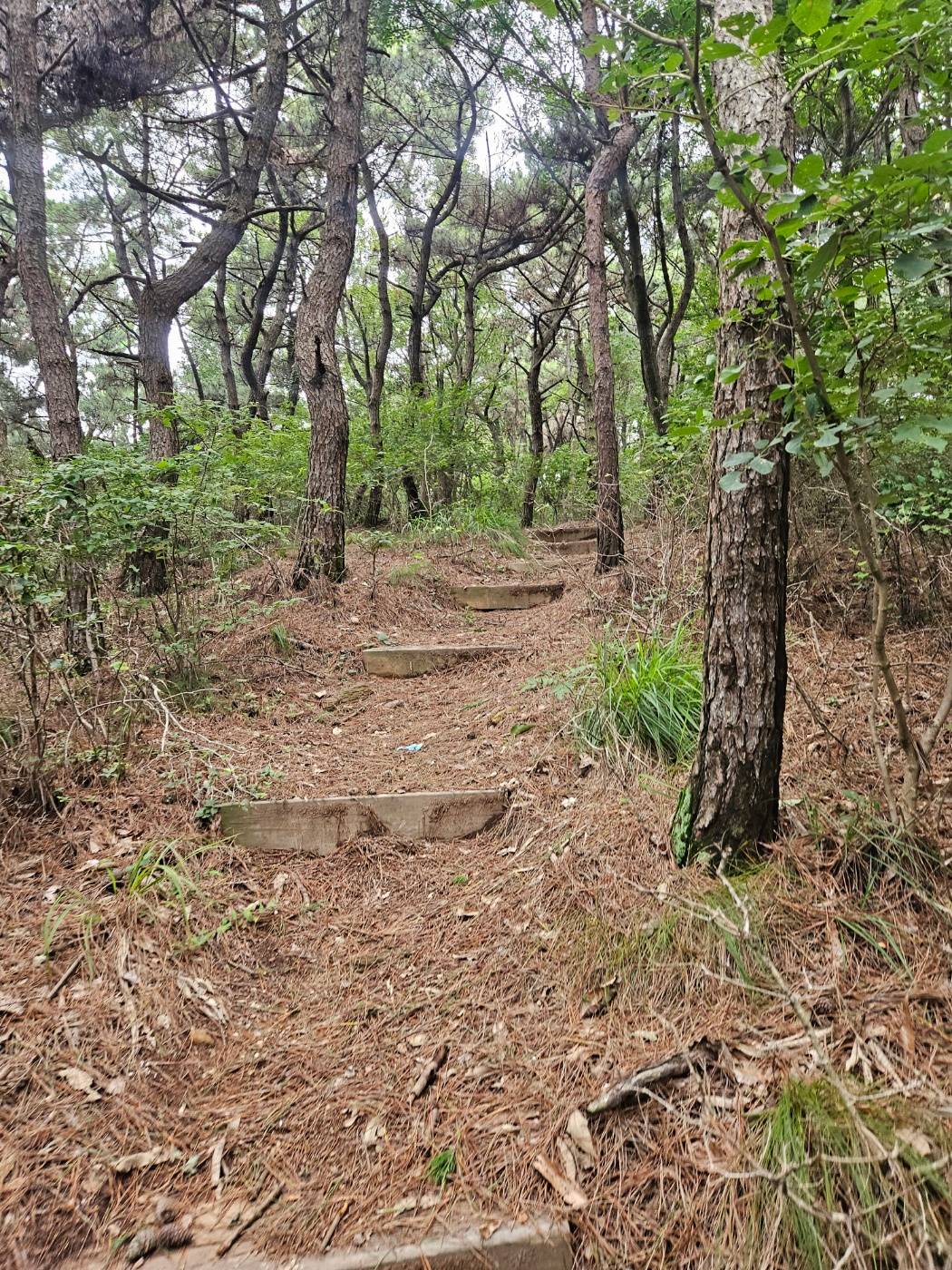
The spiderwebs were more bothersome than the gradient. The trail may not have seen many hikers that day, because webs repeatedly caught on my face and clothes. I was wearing black, and when I reached the summit I found not only strands of web on my clothes but even tiny spiders clinging to them.
💡 Summer hiking tip: Gubongsan is a short hike, but the wooded trail can have plenty of spiderwebs and insects. Use a trekking pole to gently clear the path ahead, and consider wearing a light-colored long-sleeve shirt.
⛰️ Gubongsan Summit: Black Yak Island & Mountain 100 Certification
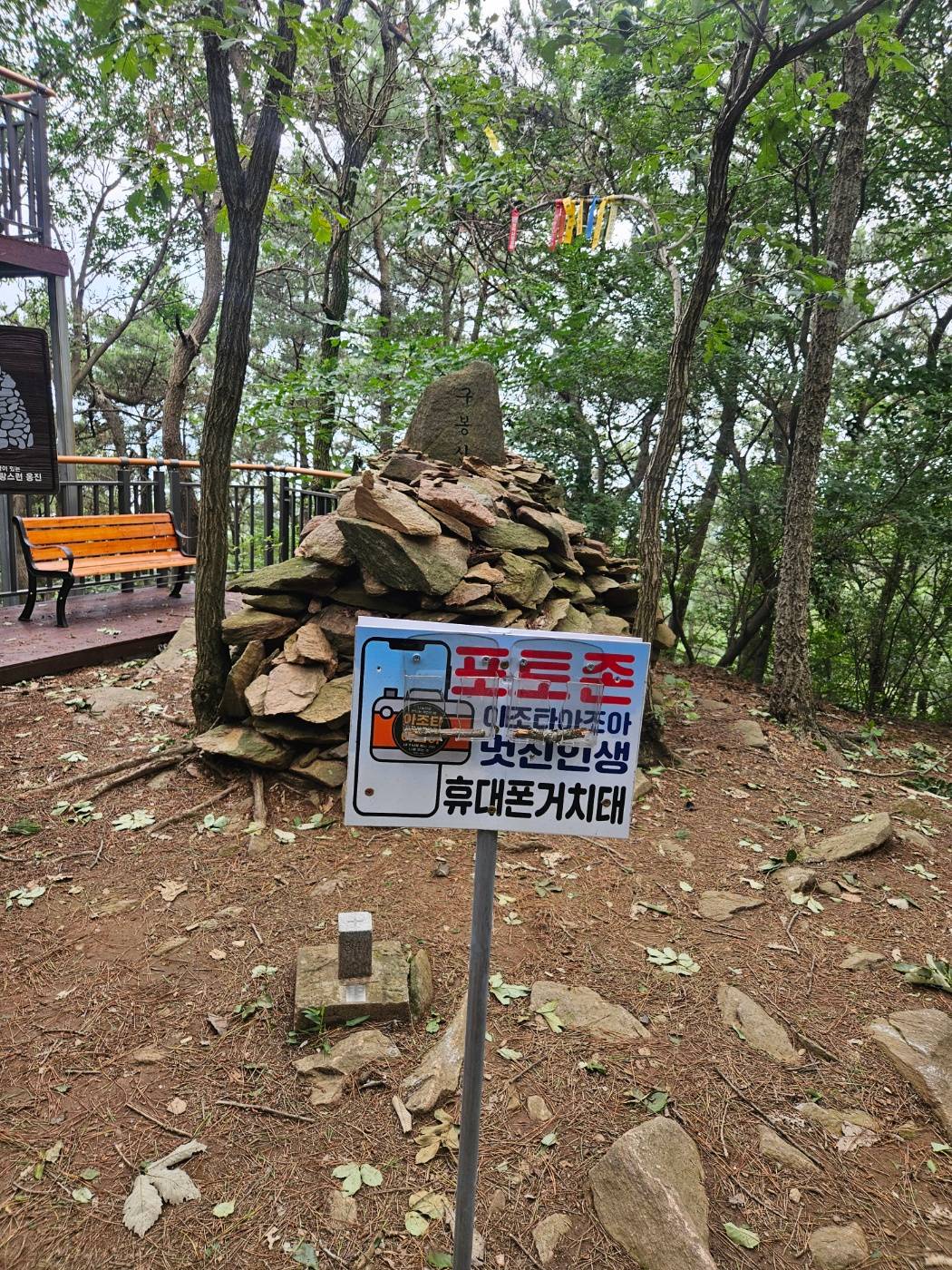
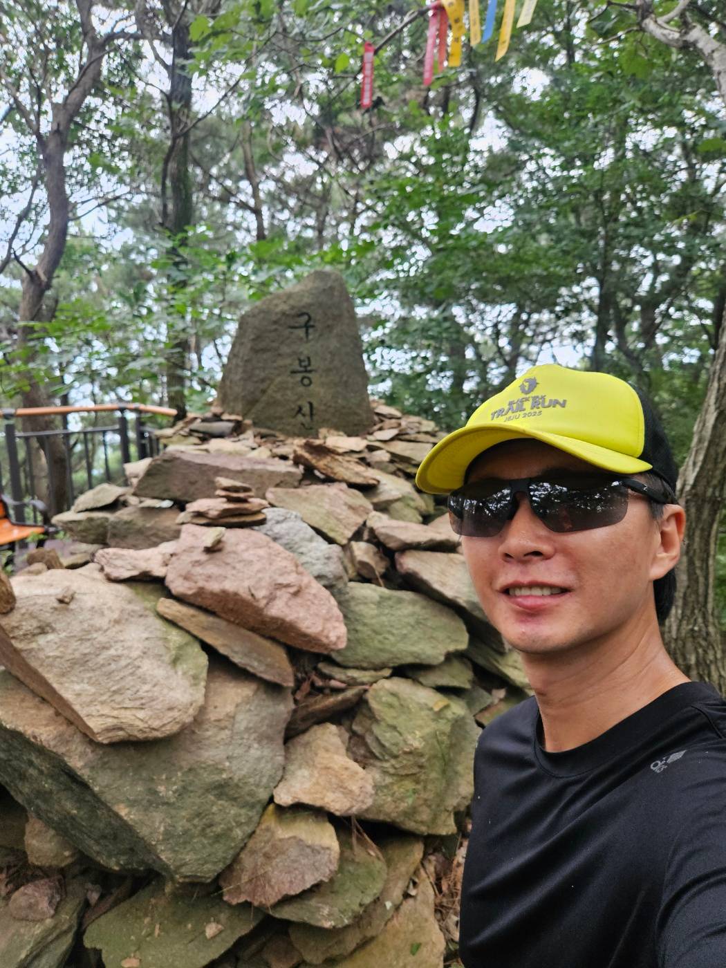
I arrived at Gubongsan summit, where a small summit marker stands beside a phone holder installed for self-portraits. I placed my phone on the holder and completed my Black Yak Island & Mountain 100 certification photo.
🌳 Loop Descent via Haedanghwa Flower Trail
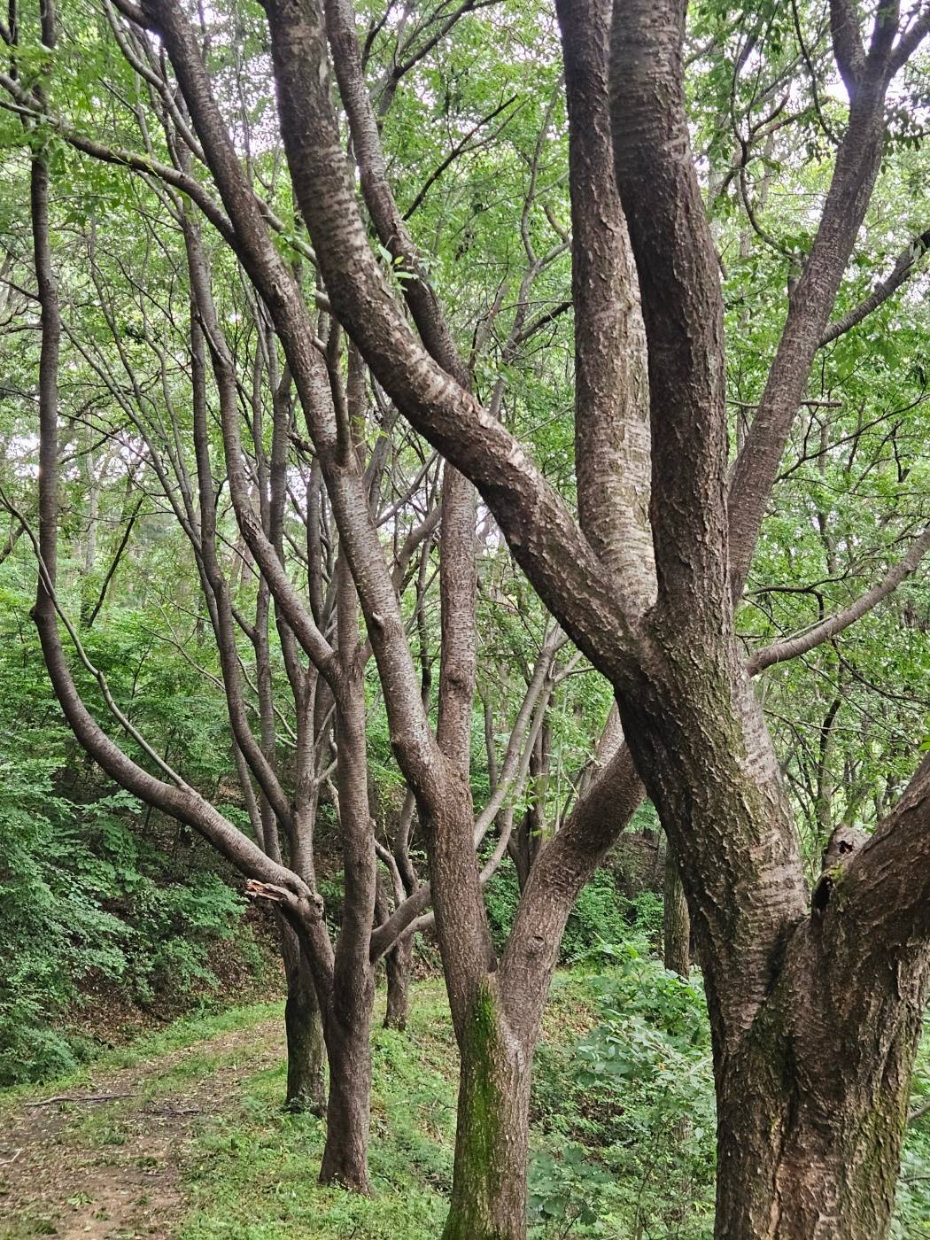
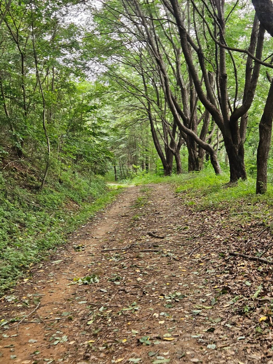
Rather than retracing my steps from the summit, I continued forward to complete the loop. Summer vegetation obscured the path in a few places, but the unusual trees with octopus-like branches and smooth dirt trail made for an enjoyable descent.
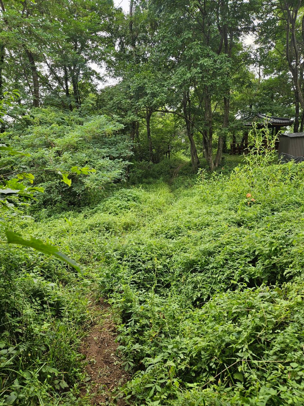
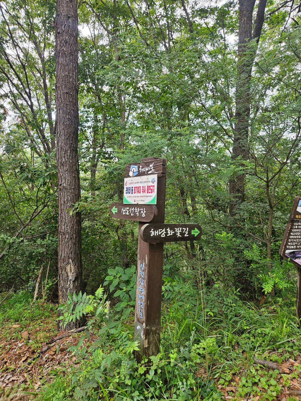
At the bottom of the mountain trail, a signpost revealed that the path I had just followed was called Haedanghwa Flower Trail.
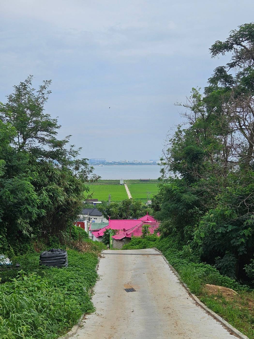
From here, the route rejoins the forest road used on the ascent. On the way down, I stopped for a photo when I noticed the sea showing through the trees.
🏁 Hike Record and Final Notes
Moving at a brisk hiking pace, I covered 4.10 km in 57 minutes 49 seconds with 224 m of elevation gain.
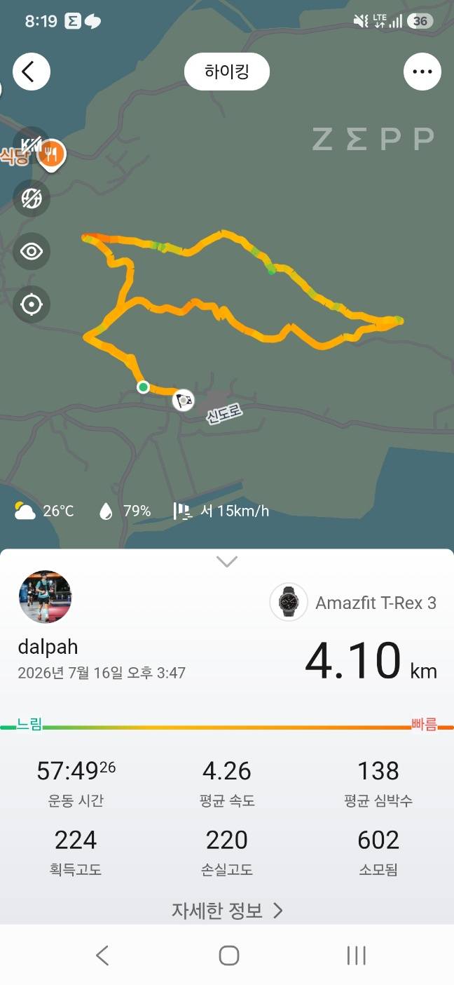
The clockwise route is likely faster if summit certification is your only objective. Still, the entire loop takes only about an hour, and it is worth seeing the new bridge, forest road, and Haedanghwa Flower Trail in one circuit.
After the hike, I drove through Sido and Modo before heading back. Even on a weekday, the islands attracted plenty of visitors immediately after the road opened. Most roads on the islands have only one lane in each direction, and it took more than an hour just to get out. Weekend congestion will likely be severe for the time being, so arrive early if you plan to combine the Gubongsan hike with a drive around Sindo, Sido, and Modo.
🎒 Packing Checklist
| Essentials | Recommended |
|---|---|
| At least 500 ml of water | Light-colored long-sleeve shirt |
| Comfortable walking or hiking shoes | Trekking pole for clearing spiderwebs |
| Black Yak app | Hat and sunscreen |
❓ Gubongsan on Sindo FAQ
Q. Do I still need to take a ferry to Sindo for the Gubongsan hike?
A. No. The Yeongjong–Sindo Peace Road opened on July 14, 2026, allowing vehicles to travel directly from Yeongjongdo to Sindo. The new section is a toll-free public road.
Q. Where can I park for the shortest Gubongsan route?
A. Set your navigation destination to Sindo Jang Supermarket. I used the small open lot behind the store. Space is limited, so on busy days check local signs and make sure your vehicle does not obstruct residents or traffic.
Q. How long does the Gubongsan hike take?
A. My complete loop, including the summit and Haedanghwa Flower Trail, measured 4.10 km and took 57 minutes 49 seconds. A clockwise out-and-back trip for summit certification should be shorter, but the time will vary with pace and trail conditions.
Q. Where do I complete the Black Yak Island & Mountain 100 certification?
A. Take your certification photo at the small marker on Gubongsan summit. A phone holder is installed there, making it possible to take the photo without assistance.