GuideChiaksan Birobong: Bugok Shortest-Time Hiking Guide
Compare Chiaksan's Bugok and Hwanggol routes, find parking and restrooms, and follow a 9.8 km hike to Birobong for two BAC challenges.
After running less than planned during the summer, I chose Birobong (1,288 m), the summit of Chiaksan, as a training hike before a September race. The summit also counted toward the Black Yak Alpine Club's Famous 100 and Gangwon 20 Challenge programs at the time of this hike.
My idea of a “shortest route” is based on time rather than distance. Hwanggol is the shorter trail, but its sustained steep climb seemed likely to slow me down. Because the distance difference is small, I chose the gentler Bugok Ranger Station–Keunmuregol–Birobong route. I have not personally hiked from Hwanggol; this choice was based on national park information and published route summaries.
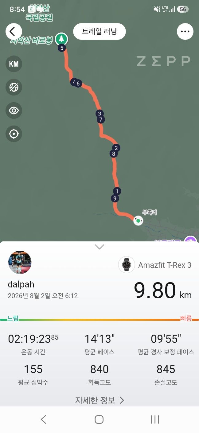
Quick answer: Park at Bugok Ranger Station and follow Keunmuregol and Cheonsabong Observatory to Birobong, then return the same way. Trail signs put the one-way distance at about 4.5–4.6 km. My GPS recorded 9.80 km in 2:19:23 with 840 m of elevation gain, reaching the summit in about 1 hour 20 minutes.
📌 Hike at a glance
| Item | Details |
|---|---|
| Route | Bugok Ranger Station → Keunmuregol → three shelters → Cheonsabong Observatory → Birobong → return |
| Distance | 9.80 km on my GPS |
| Moving time | 2 hours 19 minutes 23 seconds |
| Time to summit | About 1 hour 20 minutes |
| Elevation gain | 840 m |
| Difficulty | Moderate; steady ascent with stone and deck stairs near the summit |
| Parking/restroom | At Bugok Ranger Station; follow current signs on arrival |
| BAC programs | Famous 100 and Gangwon 20 Challenge |
Bugok vs. Hwanggol: distance and estimated time
Published route summaries list Hwanggol at roughly 8.2 km and 4 hours 20 minutes round trip, versus Bugok at roughly 9.2 km and 4 hours 30 minutes. Signs and GPS tracks vary slightly.
| Comparison | Bugok route | Hwanggol route |
|---|---|---|
| One-way distance | About 4.6 km | About 4.1 km |
| Typical round-trip estimate | About 4 hr 30 min | About 4 hr 20 min |
| Terrain | Shaded valley trail with more runnable, moderate sections | Steeper rocky climb beyond Ipseoksa |
| Typical difficulty | Moderate | Moderate-hard to hard |
| Best for | Hikers who prefer a steadier gradient | Hikers who want the fewest kilometers |
Hwanggol is the shortest by distance. Bugok was my personal shortest-time strategy, based on how much steep grades reduce my speed. The published estimate is actually about ten minutes faster for Hwanggol, so Bugok will not be faster for everyone.
🚗 Bugok parking and trailhead
Set your navigation to Bugok Ranger Station in Gangnim-myeon, Hoengseong (37.3333, 128.0734). I found parking space and a restroom at the trailhead. Availability and rules can change, so follow signs and staff instructions when you arrive.
📍 Chiaksan Bugok Ranger Station
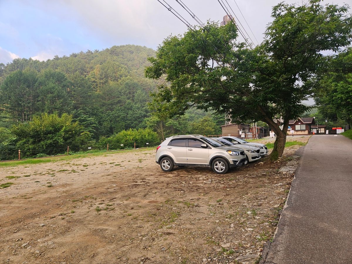
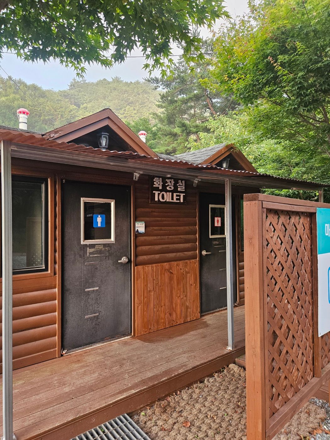
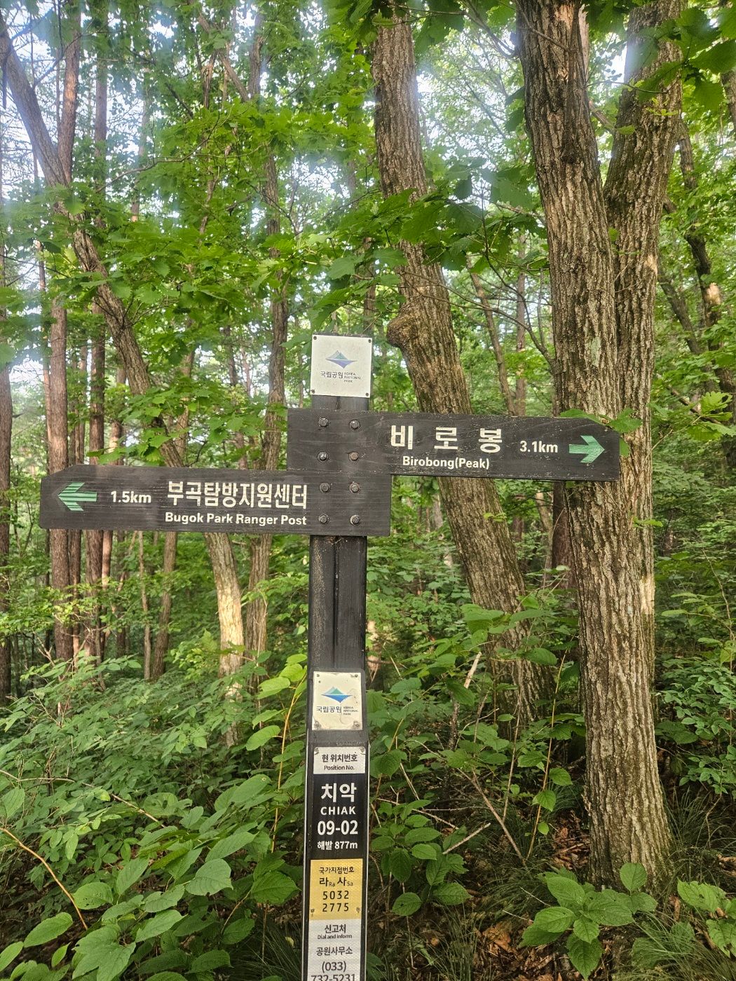
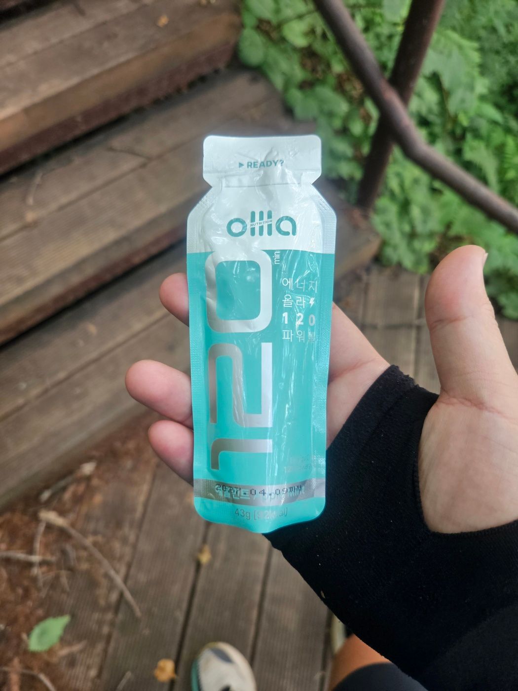
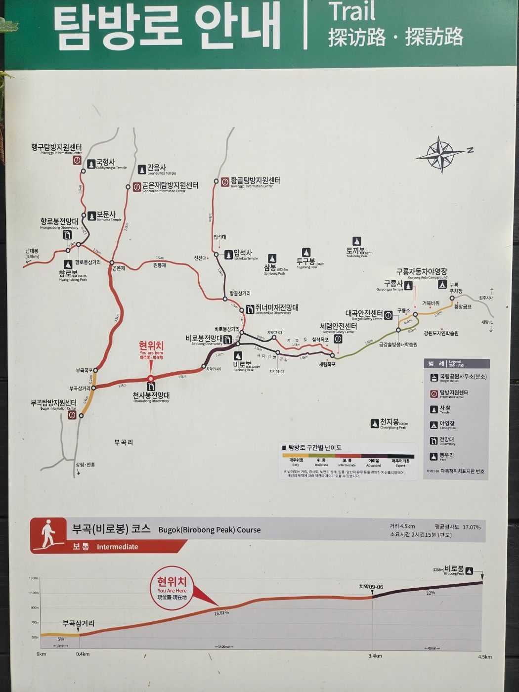
The day was hot and humid, so I carried two 500 ml water bottles, three energy gels, and salt-glucose tablets. I took one gel about 20 minutes before reaching the parking area. The map and first signs showed about 4.5–4.6 km to Birobong.
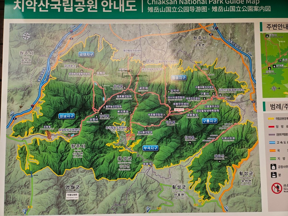
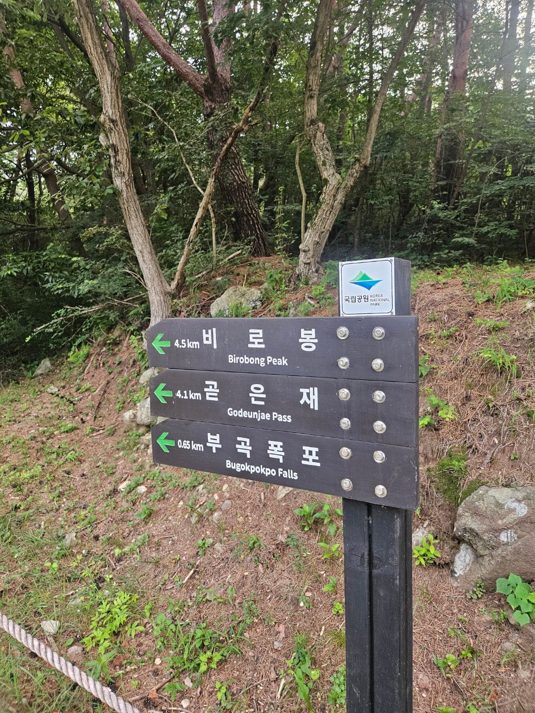
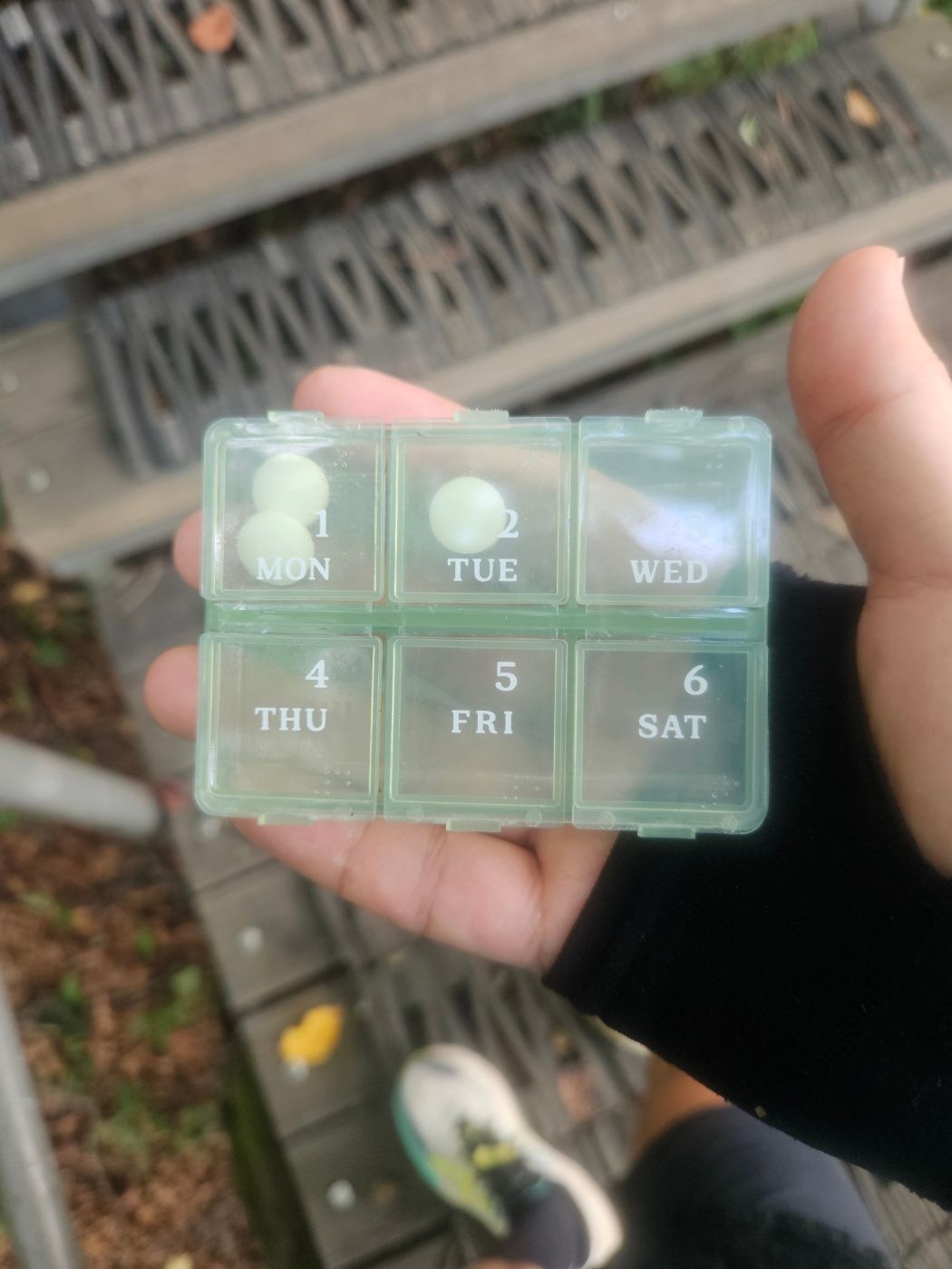
Hot-weather note: I drank the full liter on this outing, but water needs vary with heat, humidity, body size, and pace. Follow a supplement's directions; anyone with a medical reason to limit sodium should not take salt tablets without appropriate professional advice.
🏃 An easy first 400 meters
The opening road was good for an easy warm-up jog, although the heat made me breathe hard almost immediately. The formal trail entrance appeared after roughly 400 m.
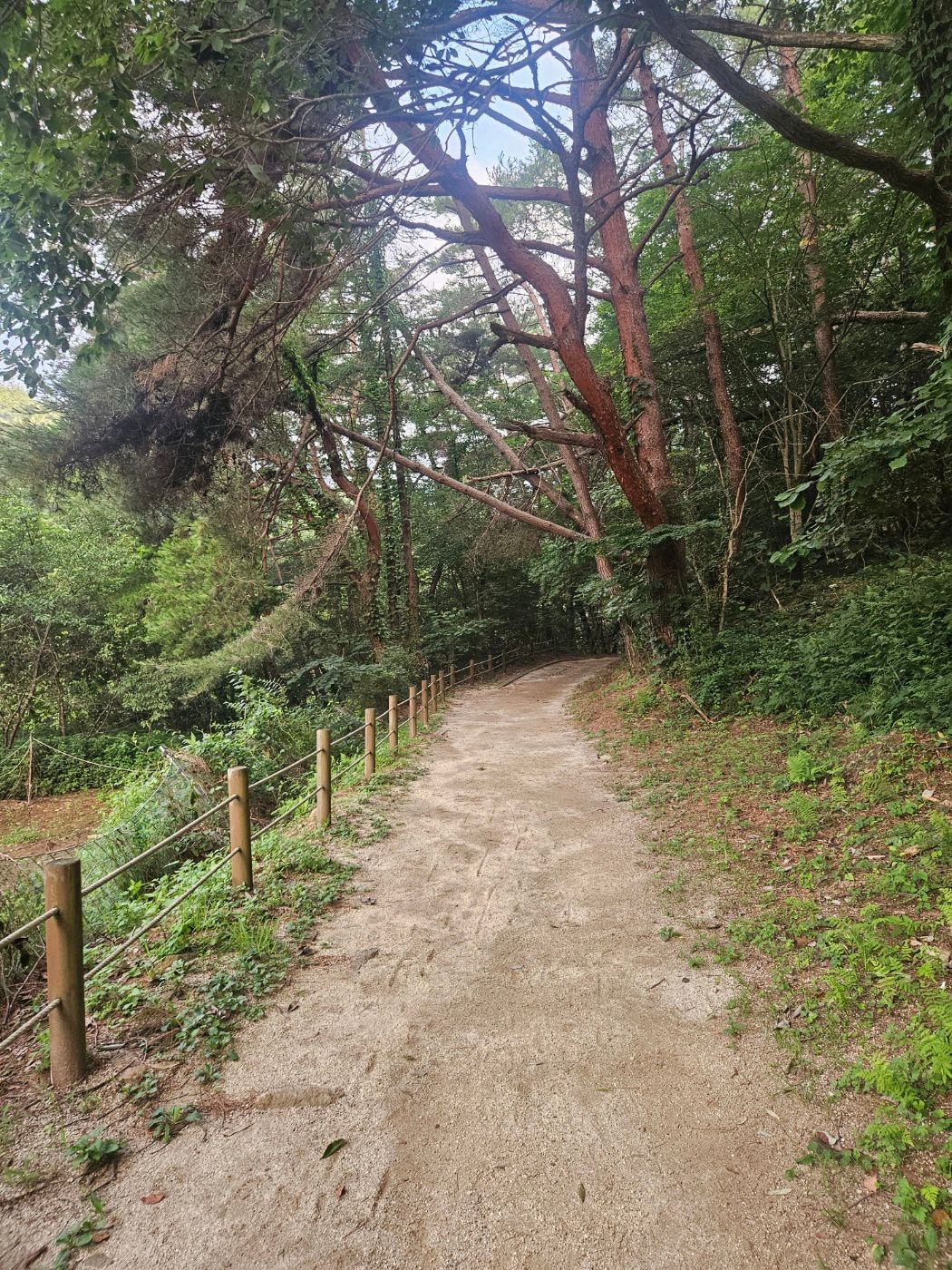
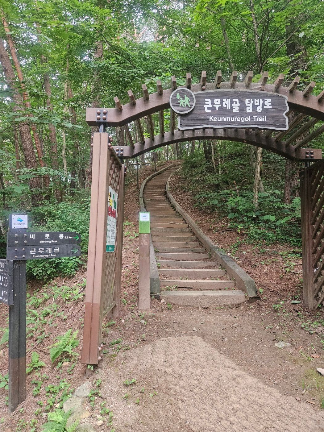
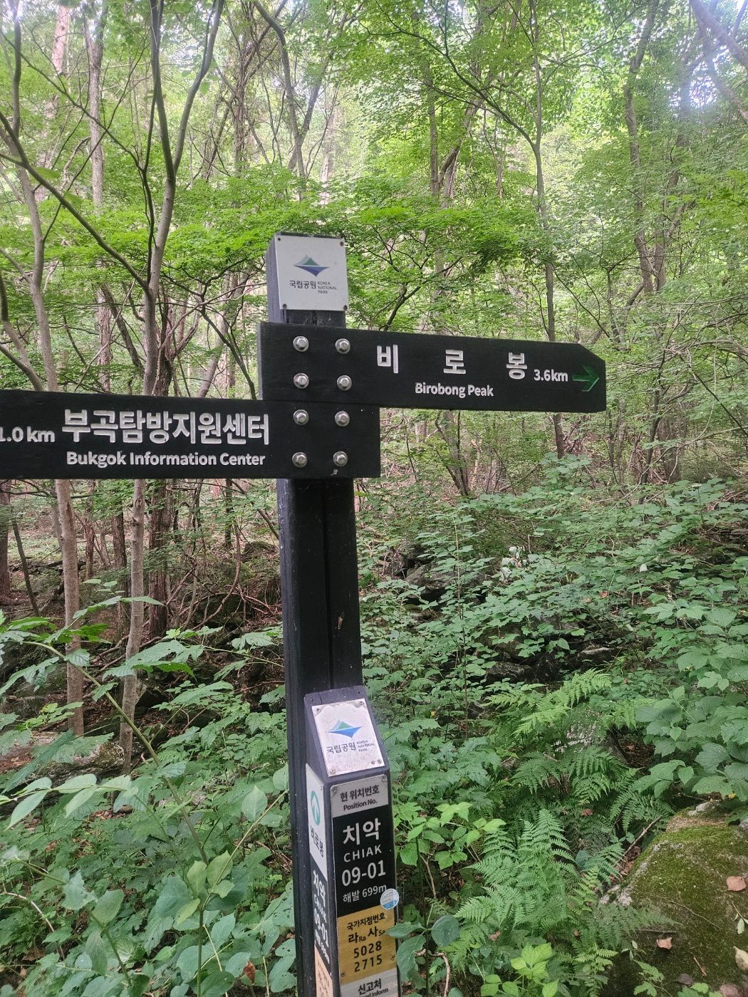
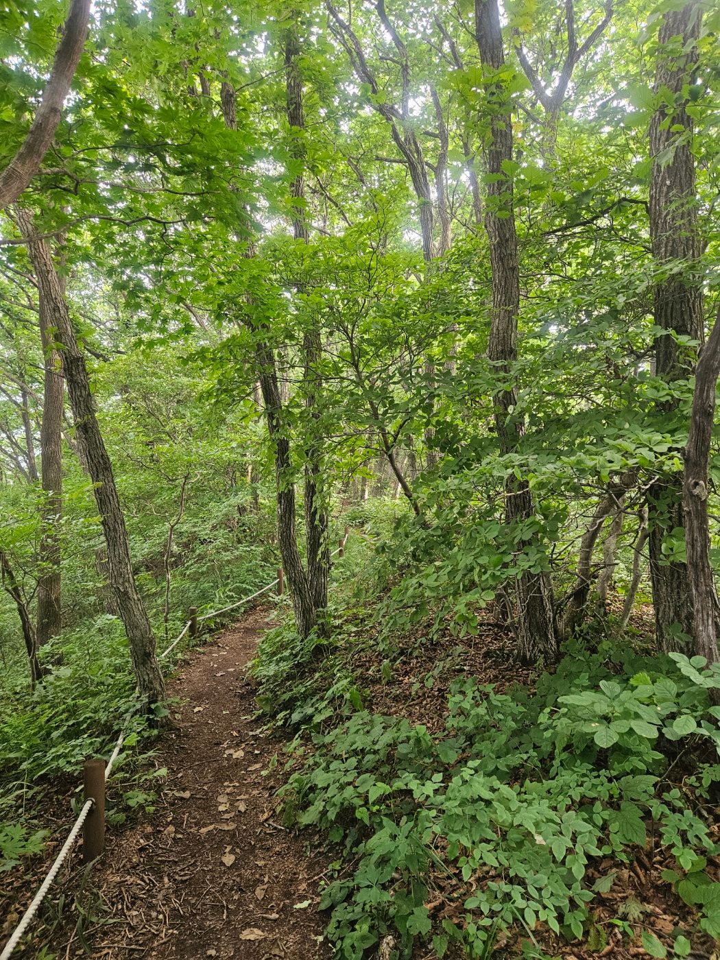
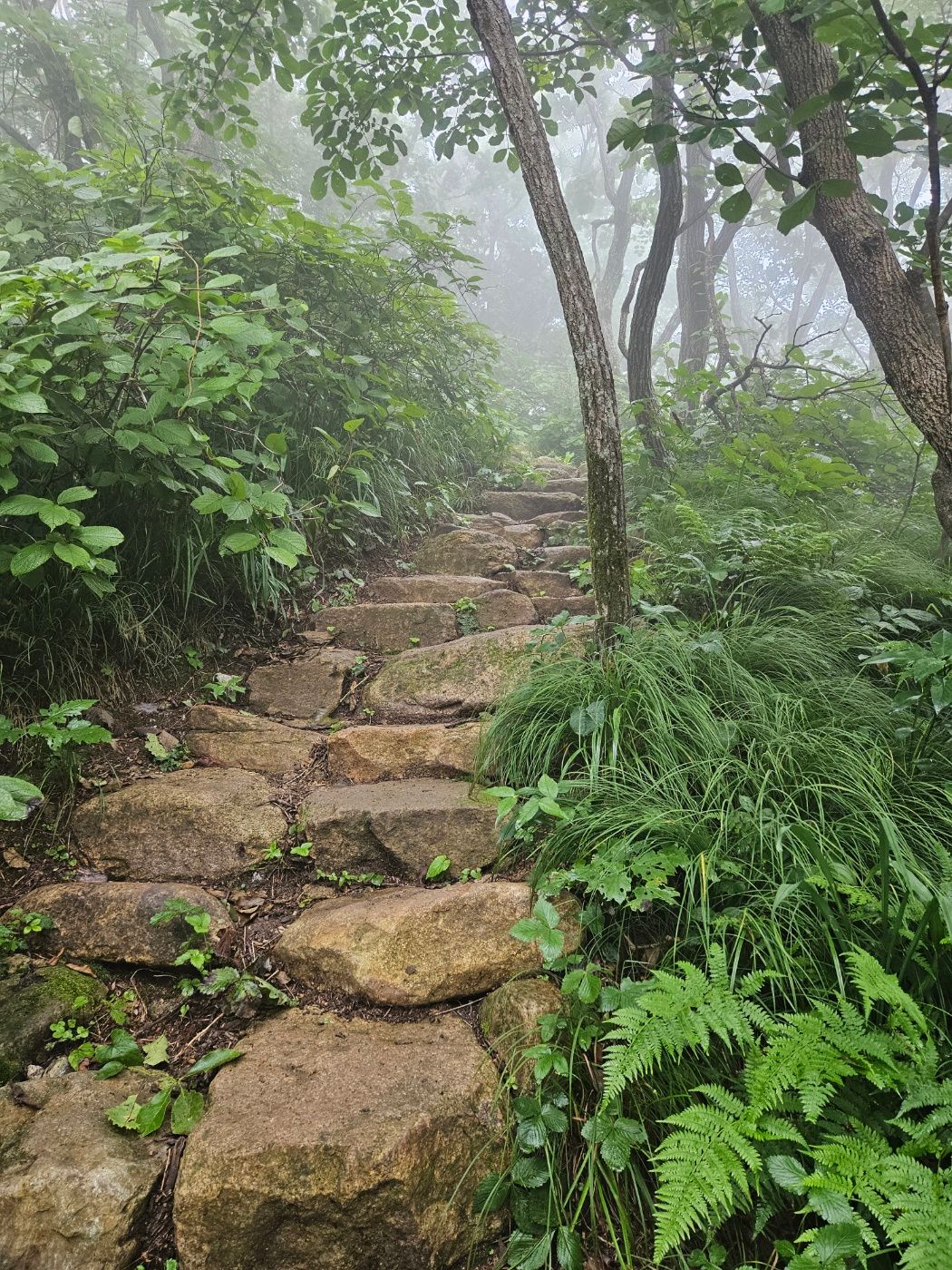
A few stairs led to a steady dirt trail beside the valley. Dense trees provided welcome shade, though nothing could remove the humidity. The maintained national park trail was pleasantly free of spiderwebs.
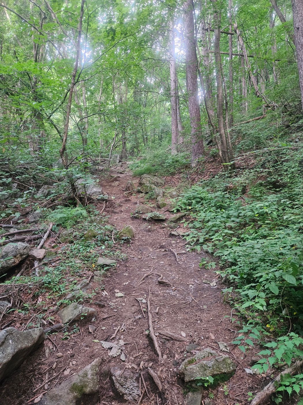
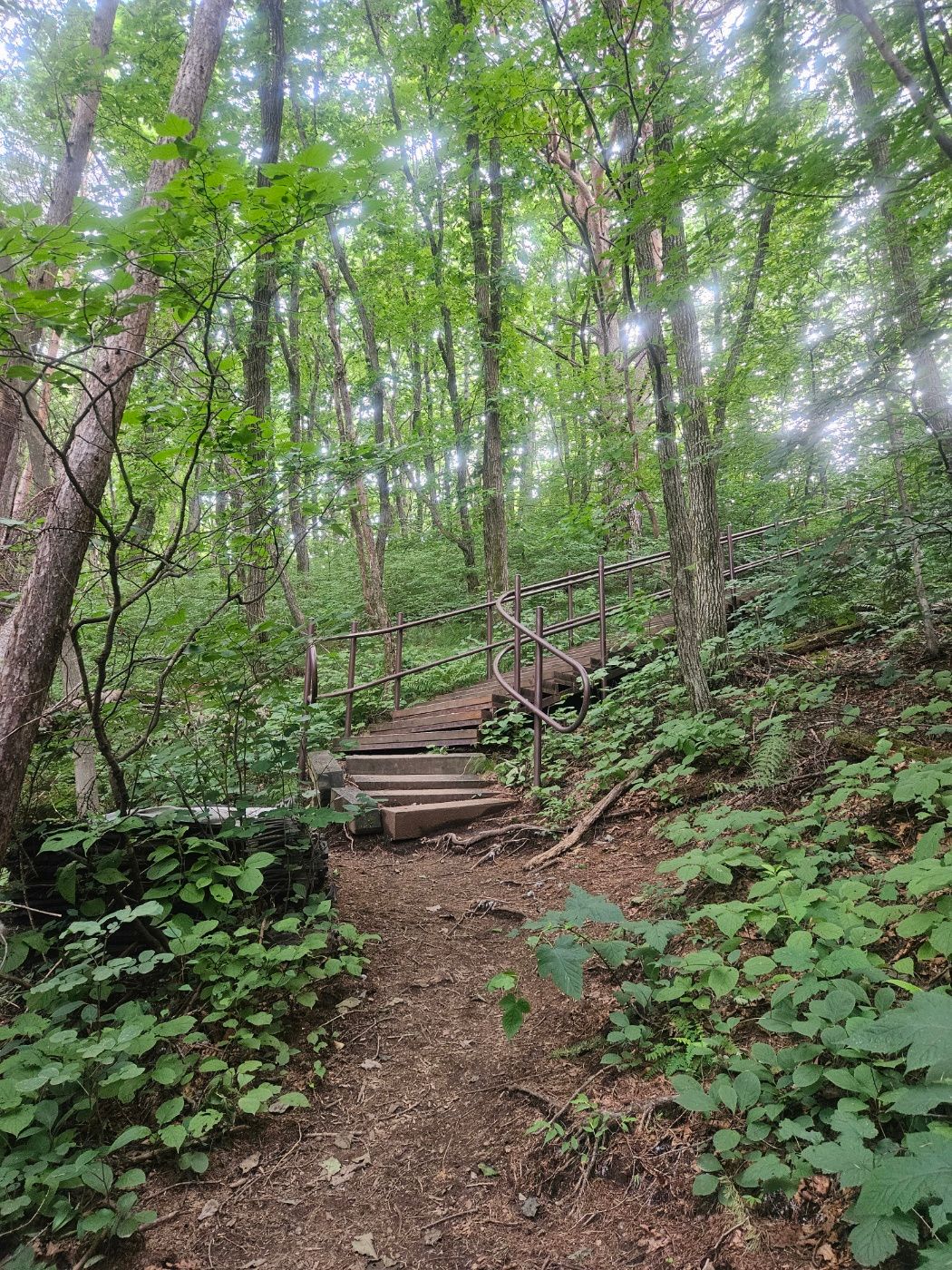
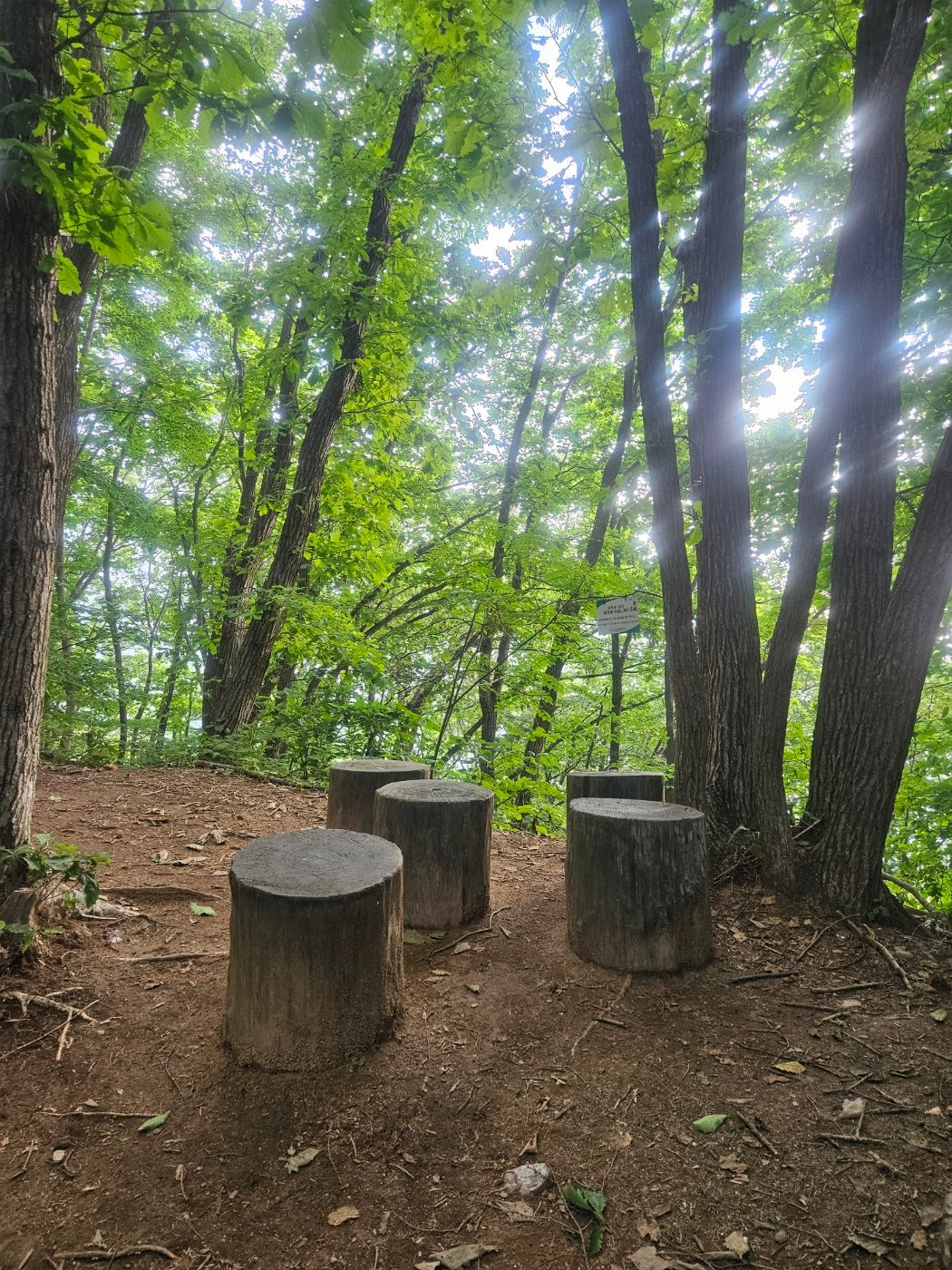
I passed the first shelter. Its sign said I had covered 1.5 km, while the segment totals added to 4.6 km rather than the 4.5 km shown near the start. This is likely a rounding difference among signs.
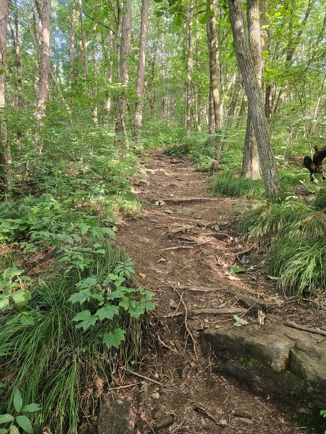
🥾 Steady climbing and the second shelter
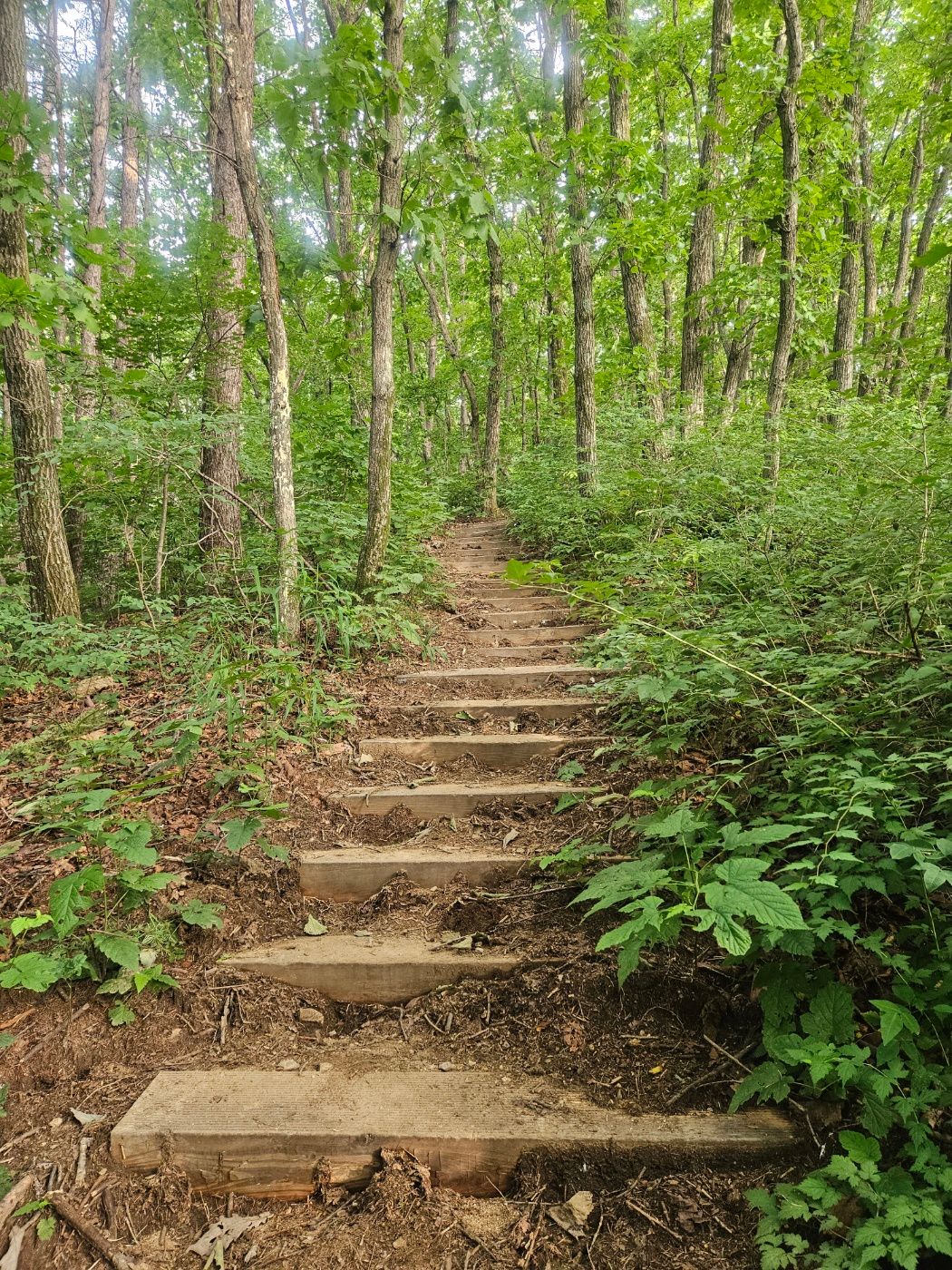
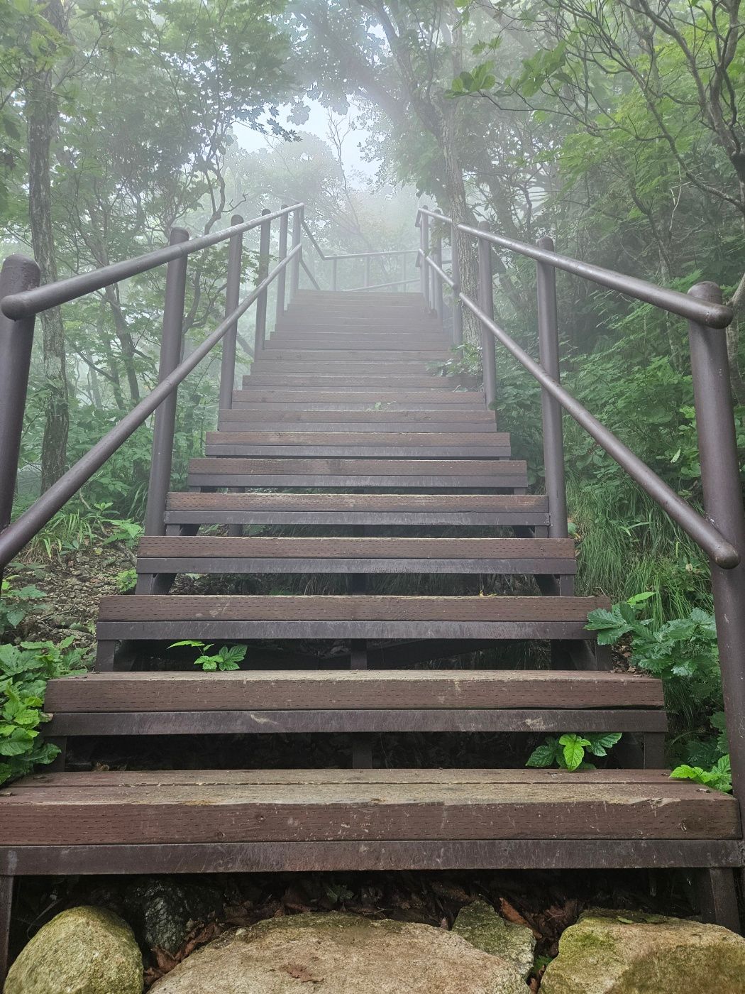
Around 40 minutes after starting, I took another energy gel before a steeper staircase. A second shelter waited at the top, and I passed it too.
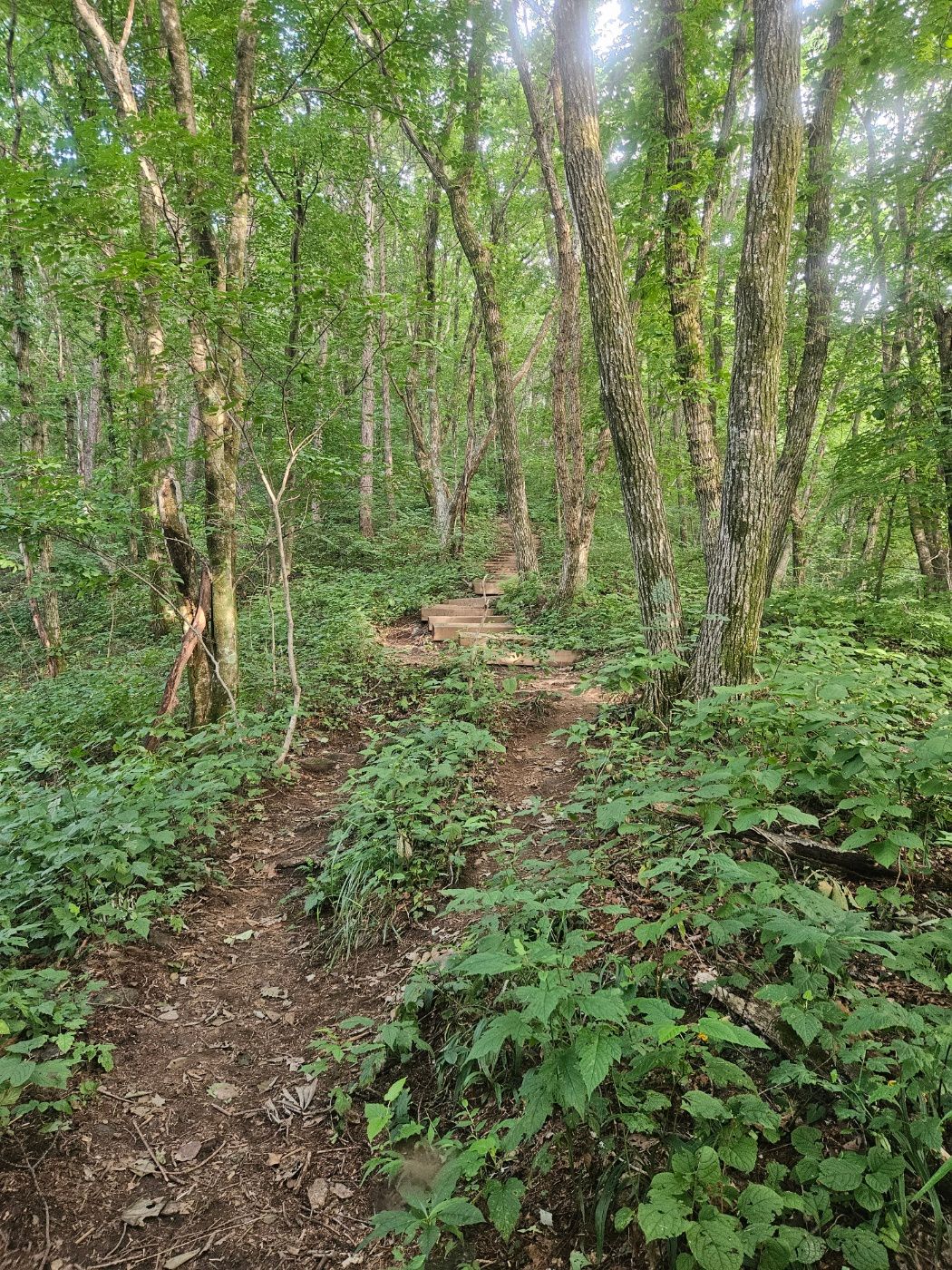
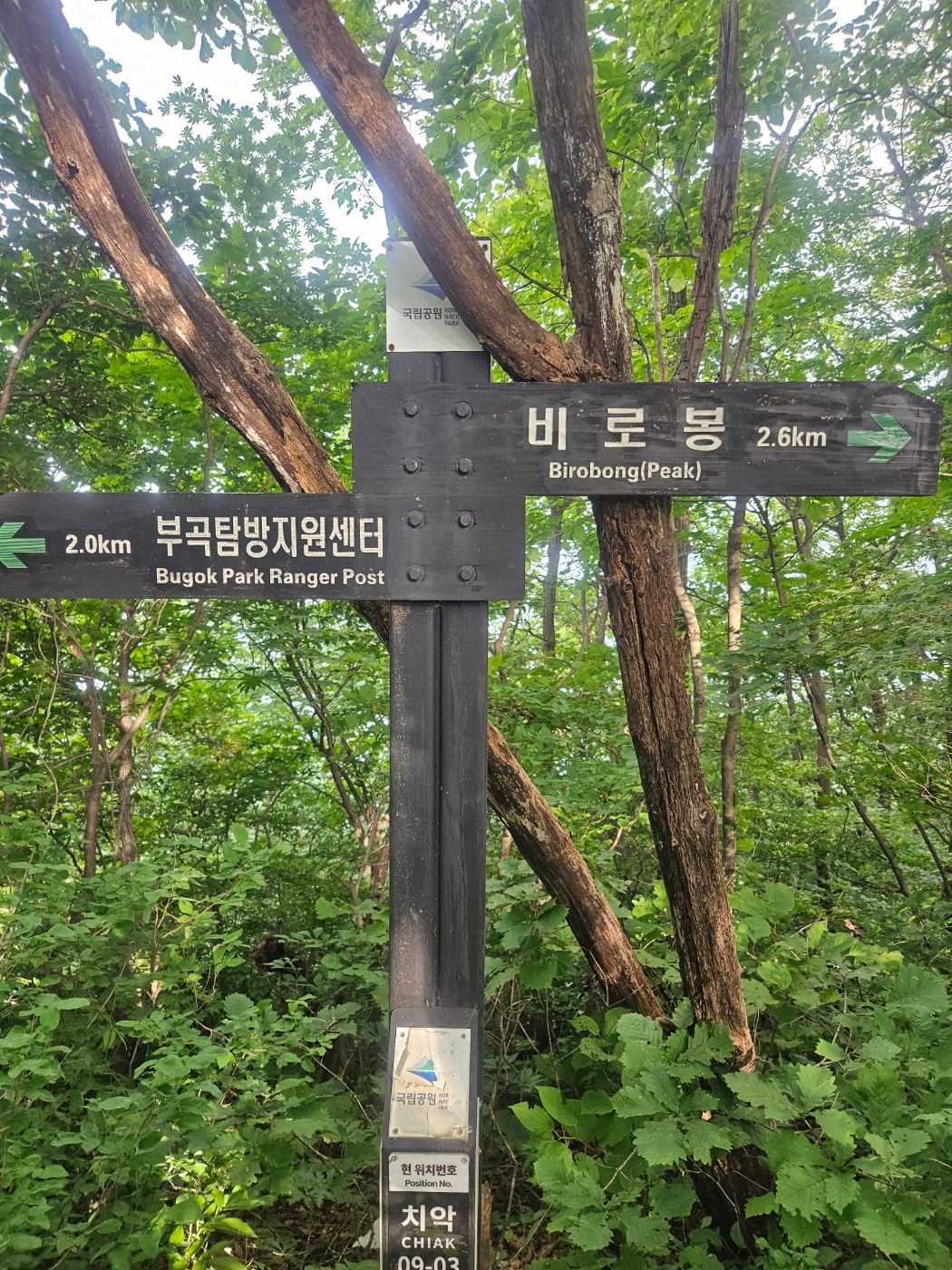
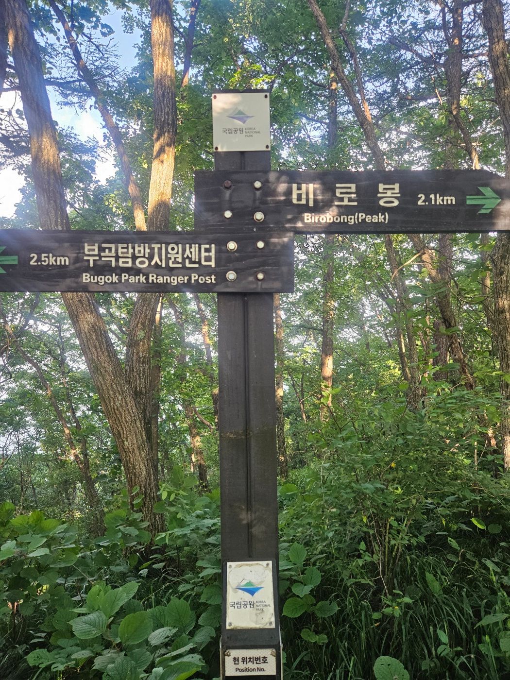
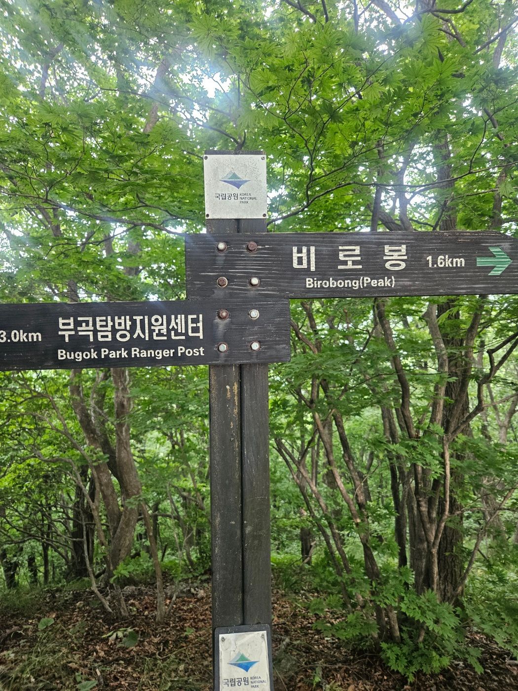
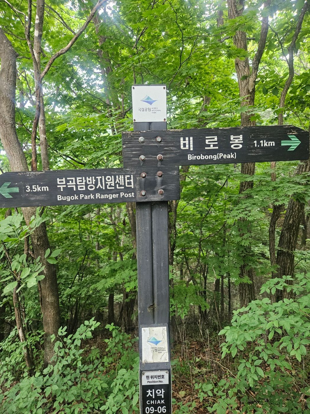
The route map showed that I was just short of halfway, with 2.6 km remaining. A more runnable section followed, then alternating mild climbs and descents. Although more than half the distance remained, the changing gradient made this section feel easier than the climb before it. I kept moving steadily and soon had only 1.1 km left to the summit.
🧂 Third shelter and Cheonsabong Observatory
The third shelter was followed, predictably, by another staircase. A little over an hour into the hike I took the salt-glucose tablet I had packed, following its serving directions.
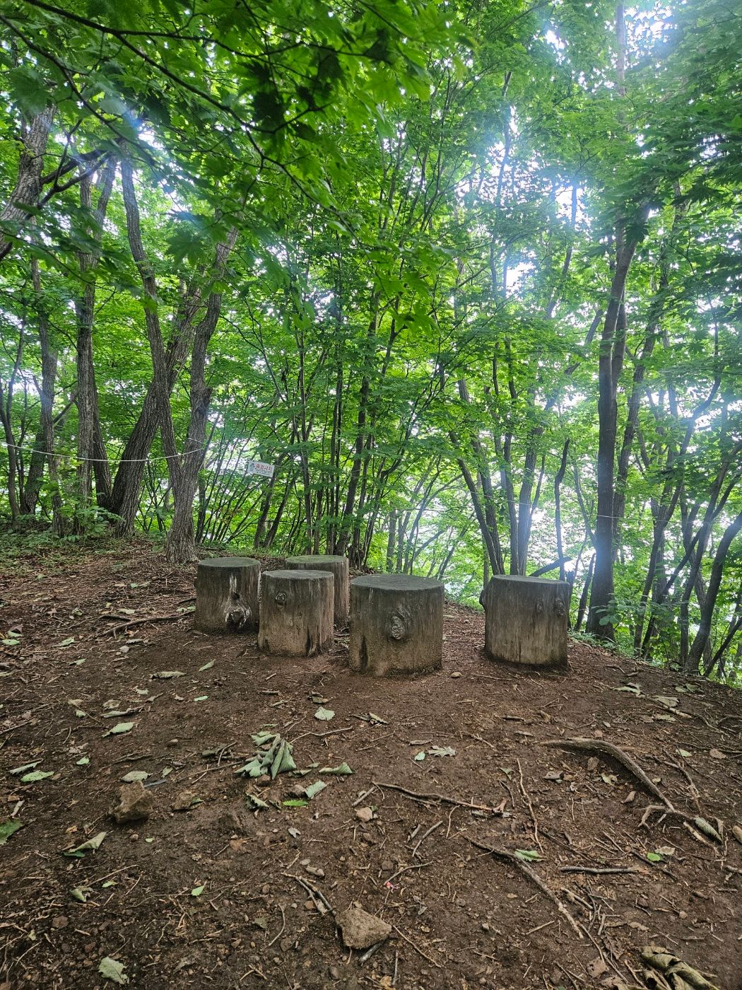
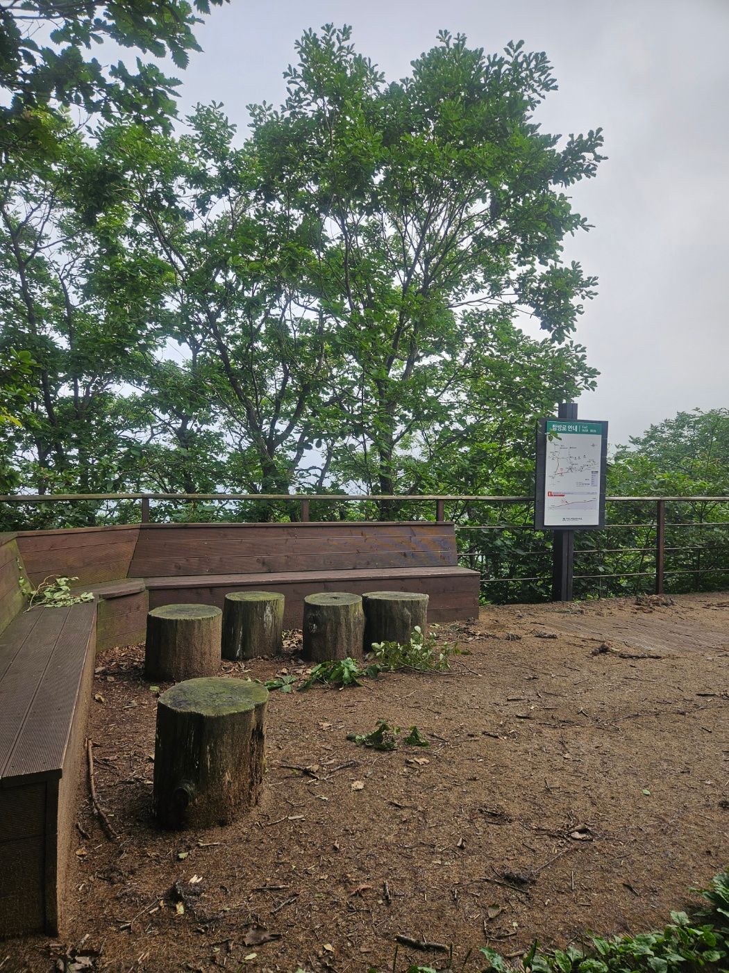
With 600 m remaining, the trail unexpectedly became runnable again. I emerged from the forest for the first time, but thick fog hid every view. Wind and the dark forest entrance gave the scene a Silent Hill atmosphere.
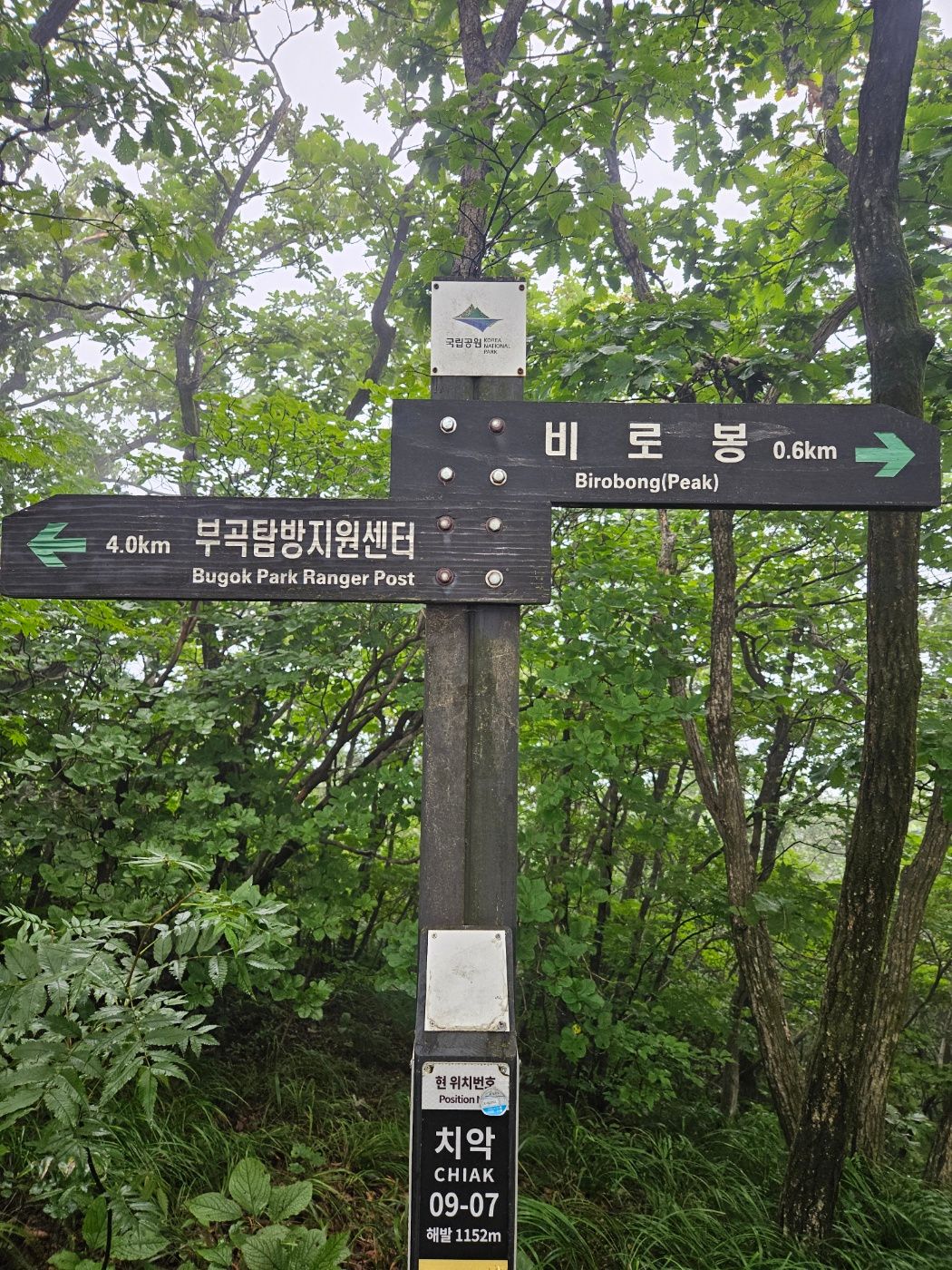
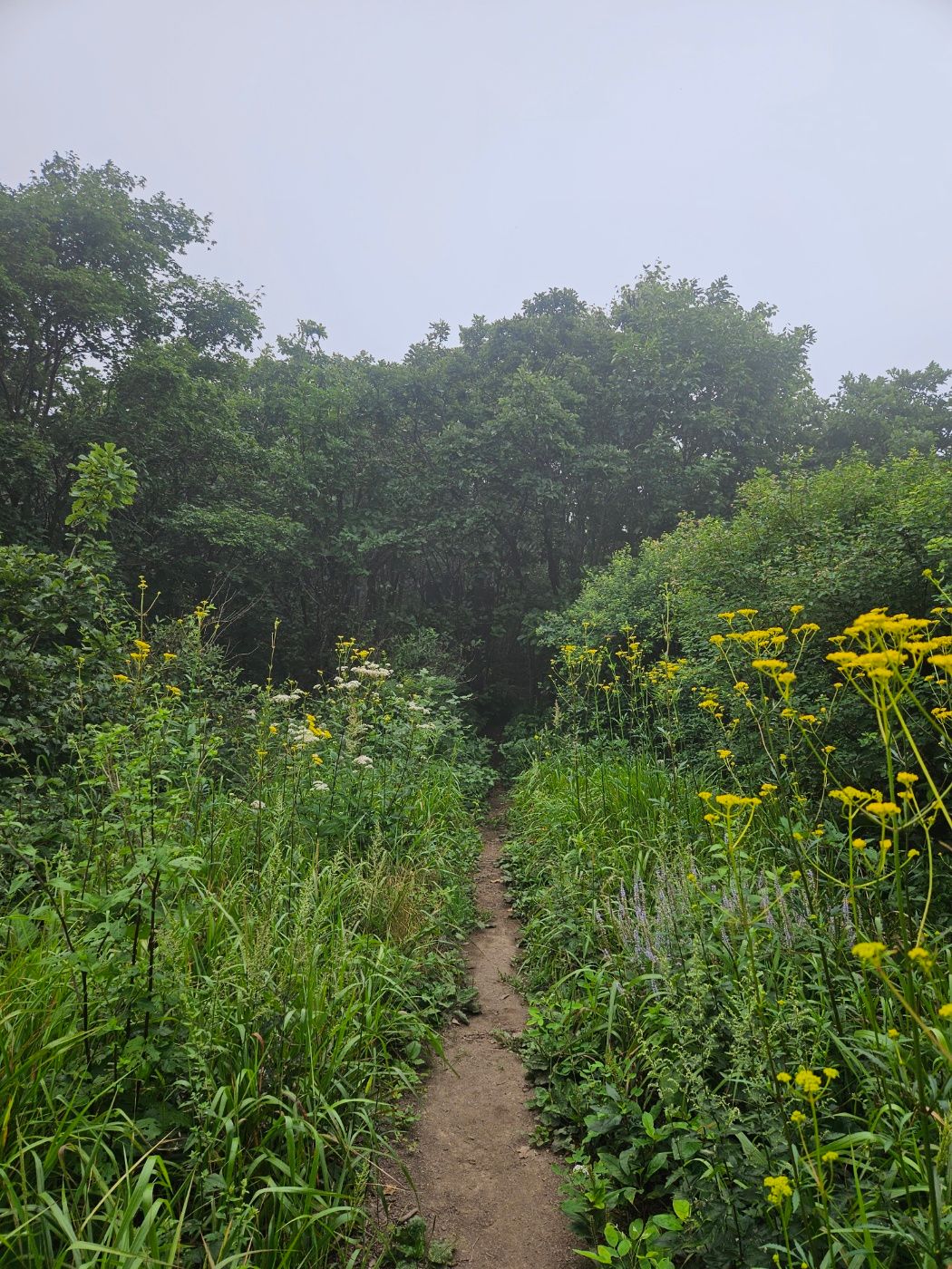
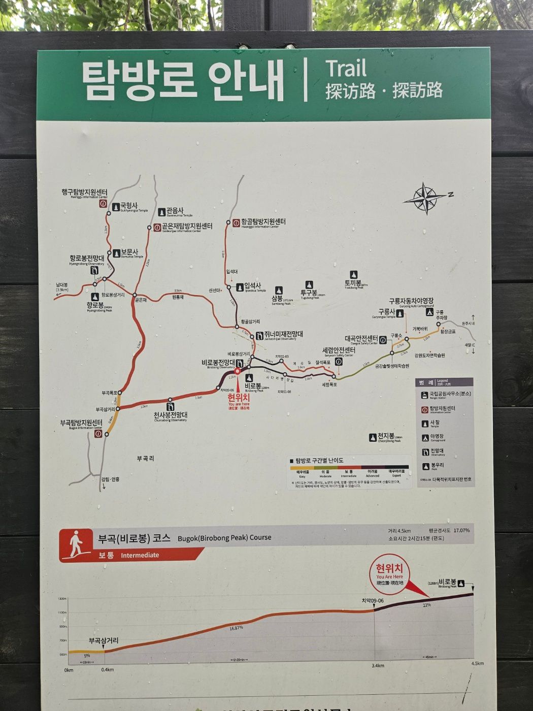
Only after checking the second map did I realize this was Cheonsabong Observatory. I looked around for the actual viewpoint but, perhaps because I only searched briefly, never found it. The difficult section marked on the map also seemed to be behind me already, which felt strange because it had been much easier than expected.
⛰️ Final stairs and Birobong summit
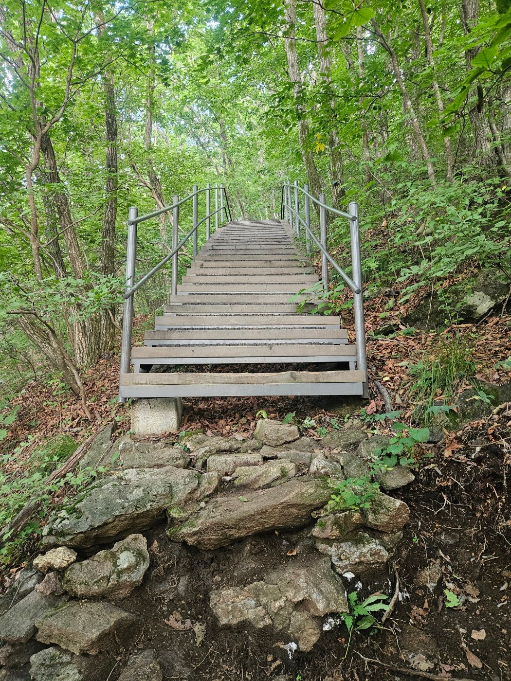
Stone steps and deck stairs finally brought the route's hardest-looking section. Partway up, I found a sign announcing only 60 m to the summit. I wondered whether anyone really needed a sign for such a short distance, but voices from above soon confirmed I was almost there.
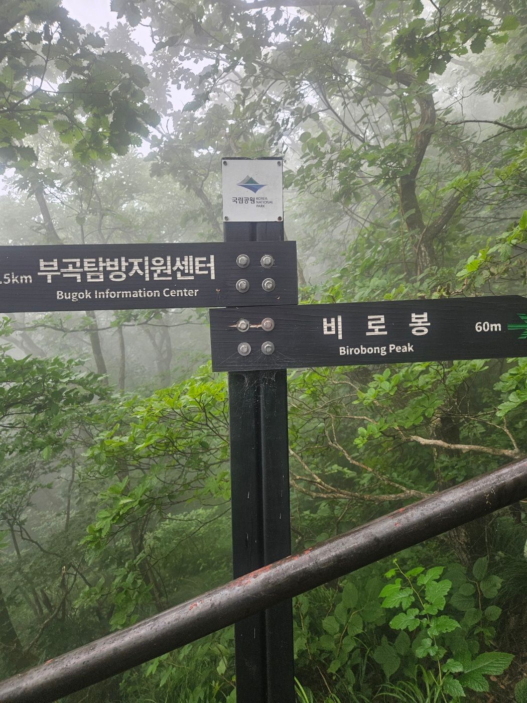
I reached Birobong in about 1 hour 20 minutes. Seven or eight early hikers were already there. I completed the BAC Famous 100 and Gangwon 20 Challenge check-ins beside the summit marker.
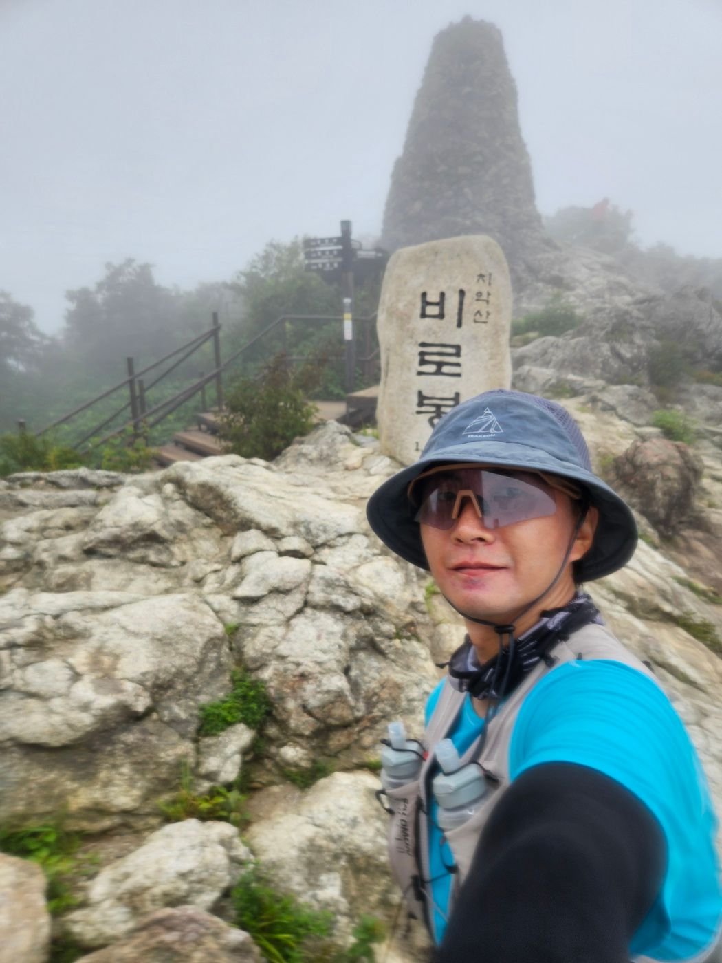
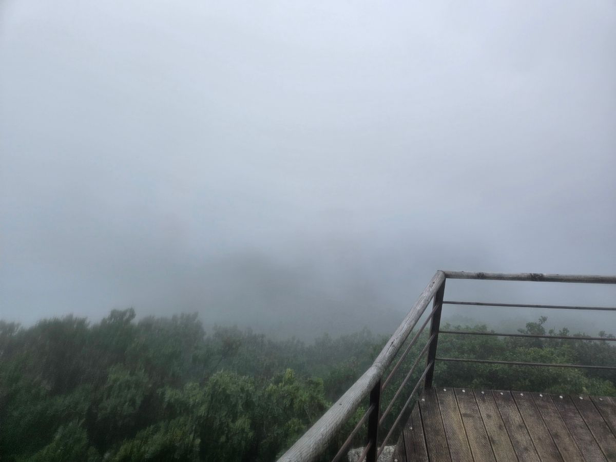
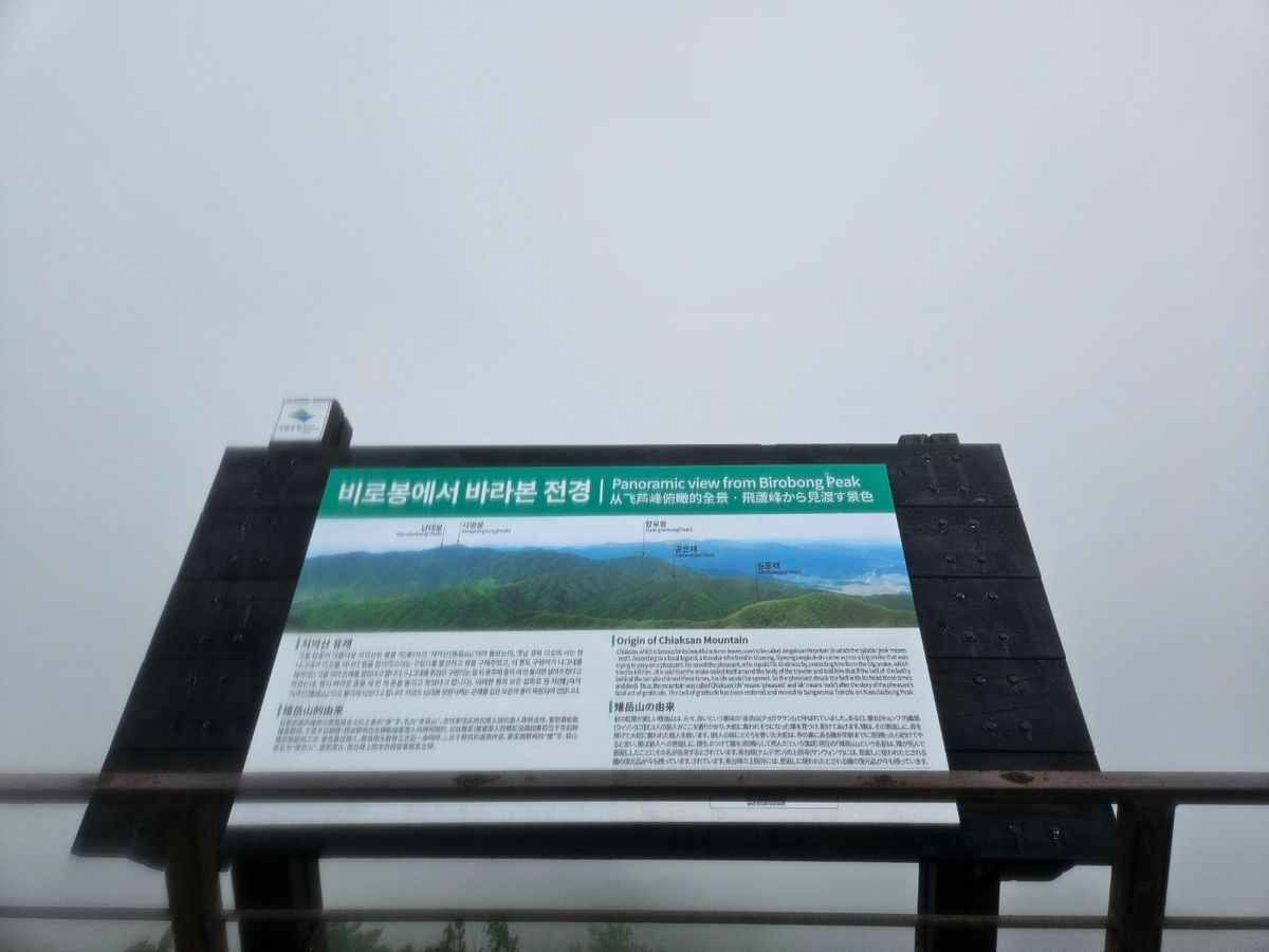
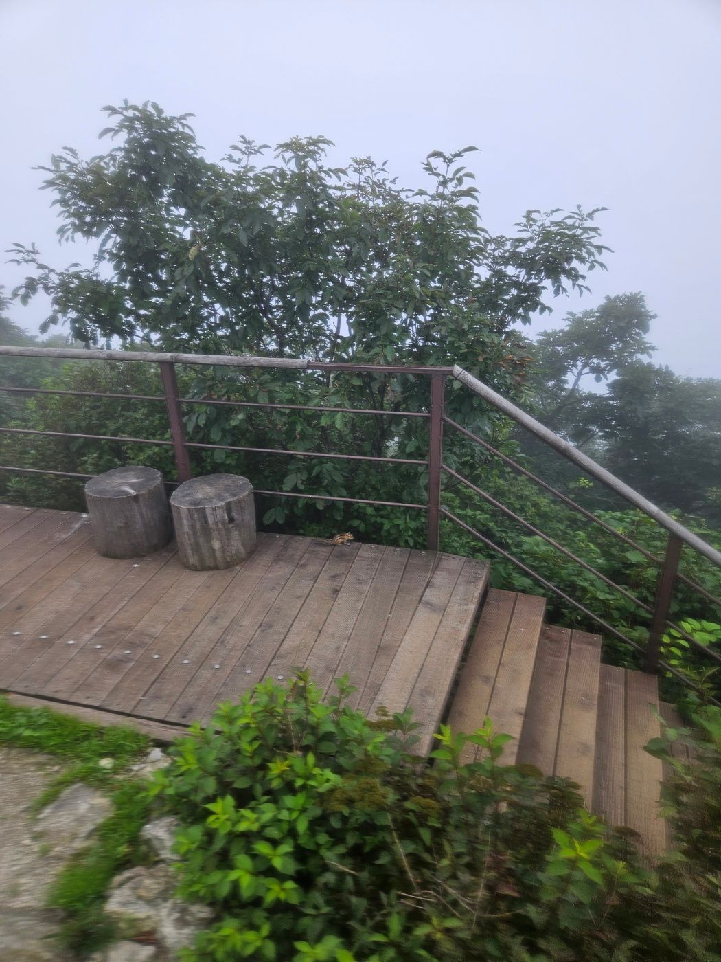
There was no 360-degree panorama—only a complete whiteout. I used the summit panorama board to imagine the hidden peaks, while a chipmunk provided the clearest wildlife view of the morning.
Birobong is known for three stone towers called Sansintap, Yongwangtap, and Chilseongtap. BAC challenge status and photo requirements may change, so confirm both programs in the BAC app before hiking and ensure location services work at the summit.
🏁 Return to Bugok
After resting for about ten minutes, I checked my watch and descended the same route. I briefly considered driving to Gamaksan for another hike, but it was about an hour away and I needed to be home by noon.
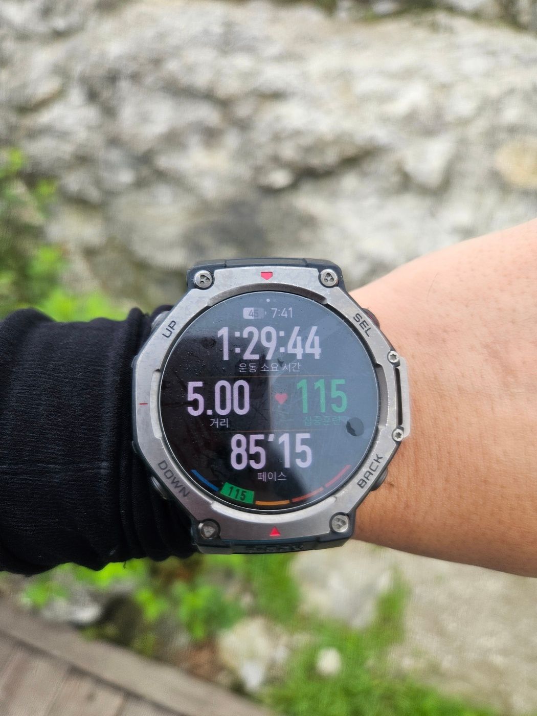
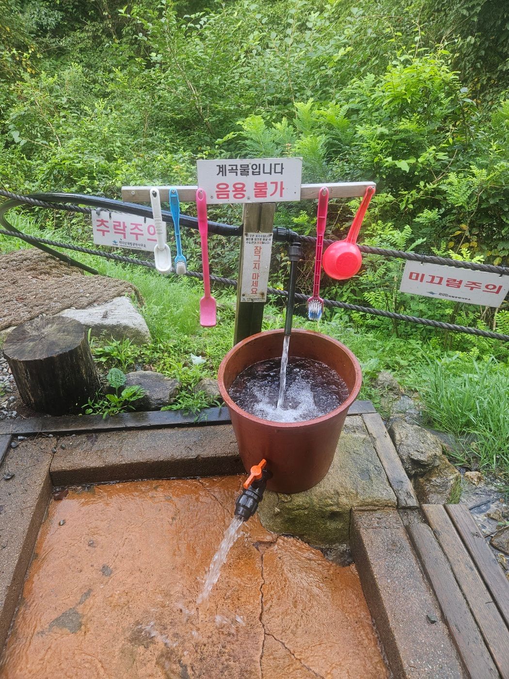
Back near the entrance, I cooled my head with water at a small wash area that appeared to be supplied from the valley. My final record was 9.80 km, 2:19:23, and 840 m of elevation gain. GPS methods and rounded trail signs can explain the small distance difference.
❓ Chiaksan Birobong FAQ
Which is the shortest route to Birobong, Hwanggol or Bugok?
Hwanggol is shortest by distance at about 4.1 km one way, compared with roughly 4.6 km from Bugok. Bugok's gentler profile may suit hikers who slow considerably on steep gradients, but published standard estimates are 4:20 round trip for Hwanggol and 4:30 for Bugok.
How long does the Bugok route take?
My fast hike and trail run took about 1:20 to the summit and 2:19:23 for 9.80 km round trip. This is a personal athletic record, not a normal hiking estimate. Allow around 4 hours 30 minutes based on published route guidance, then adjust for fitness, rests, weather, and trail conditions.
Is there parking and a restroom at Bugok Ranger Station?
Both were available during my visit. Navigate to 37.3333, 128.0734 and follow current parking signs and staff instructions.
Which BAC challenges include Birobong?
At the time of my hike, Birobong was listed for BAC Famous 100 and the Gangwon 20 Challenge. Check the BAC app immediately before departure because challenge lists and verification rules can change.
Sources and verification date
Times, supplies, and trail conditions in this article come from my hike on August 2, 2026. I cross-checked the route names and classifications with the Korea National Park Service Chiaksan course guide, and the published distance and time comparison with this Chiaksan route overview. Check live trail controls on the national park page and current certification details in the official BAC site or app. Information checked August 3, 2026.
For another Famous 100 shortcut, see the Gariwangsan Balsimsa route.
🏕️ chiaksan 주변 동선 정보
네이버 지역 검색 기반 · 거리순 정렬