GuideNeunggyeongbong Shortest Hike: Daegwallyeong Parking Guide
Hike Neunggyeongbong from Daegwallyeong in 3.38 km and 57 minutes. Find parking, trailhead maps, route photos, and BAC certification tips.
I had a little spare time during a business trip in Gangwon-do and decided on a last-minute hike. I considered Seonjaryeong and Neunggyeongbong, then chose Neunggyeongbong because it was closer to where I was.
Neunggyeongbong is a checkpoint for the Black Yak Alpine Club's Baekdudaegan and Gangwon 20 Challenge programs. It is not part of BAC's Famous 100 or Famous 100+ lists, but the short route from Daegwallyeong makes it convenient for a quick certification hike.
Quick answer: Park at the Daegwallyeong Forest Trail Information Center or Daegwallyeong Village Rest Area. Start by the stairs and monument, then pass the forest-road junction, shelter, and helipad. My out-and-back hike was 3.38 km in 56 minutes 46 seconds, reaching the summit in 26 minutes.
📌 Hike at a glance
| Item | Details |
|---|---|
| Route | Forest Trail Information Center → Village Rest Area → trailhead → forest-road junction → shelter → helipad → summit → return |
| Distance | 3.38 km |
| Moving time | 56 minutes 46 seconds |
| Time to summit | 26 minutes |
| Elevation gain | 273 m |
| Difficulty | Easy; brief steep section and slippery stone steps |
| Parking | Daegwallyeong Forest Trail Information Center or Village Rest Area |
| Restroom | Daegwallyeong Village Rest Area |
| BAC programs | Baekdudaegan and Gangwon 20 Challenge |
💡 Carry water even on this short route: I left my water in the car, expecting to finish quickly. Summer humidity and insects can make the hike more tiring than its distance suggests, so bring at least a small bottle.
🚗 Parking and the Neunggyeongbong trailhead
I parked at the Daegwallyeong Forest Trail Information Center (37.68537, 128.7594) to charge my electric car. From there, follow the road to the Daegwallyeong Village Rest Area (37.6849, 128.7540). Drivers who do not need an EV charger can also begin at the rest area.
📍 Daegwallyeong Forest Trail Information Center
📍 Daegwallyeong Village Rest Area
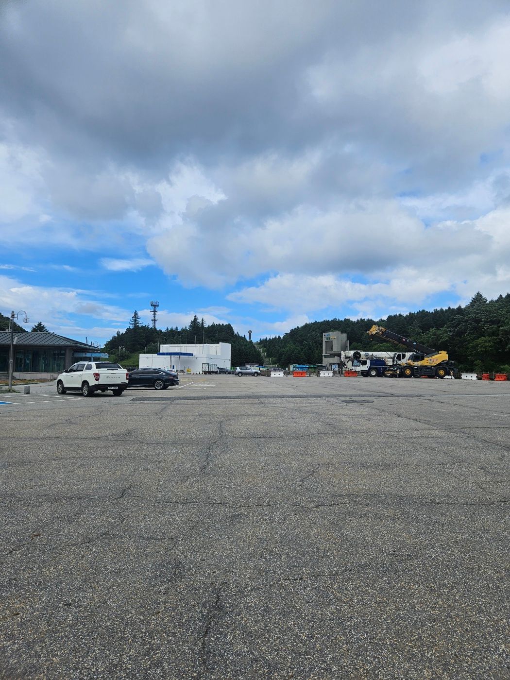
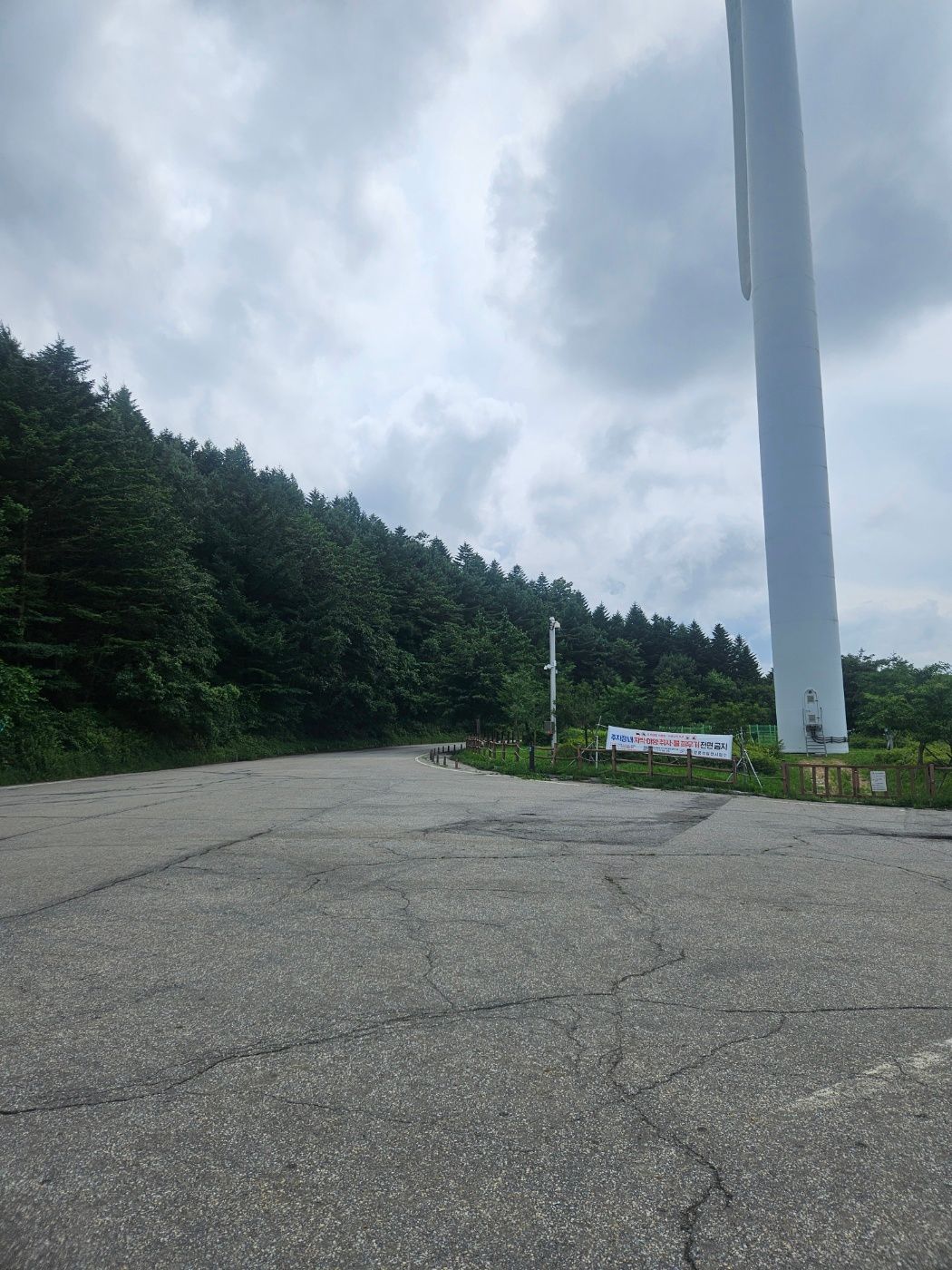
The restroom is at the village rest area. Use it before the hike or after returning.
Look around the parking area for a distant set of stairs and a monument. That is the way to the shortest-course trailhead.
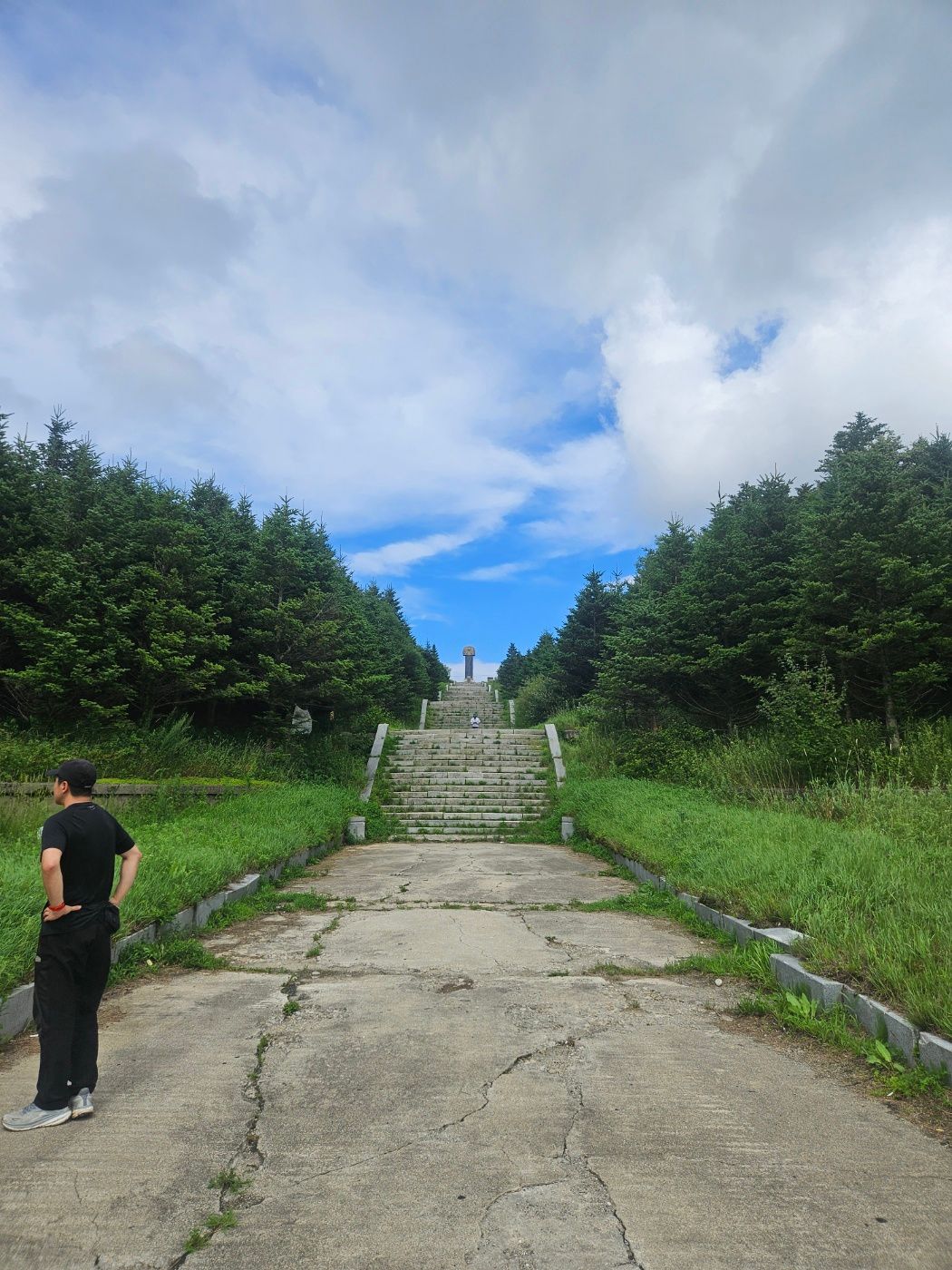
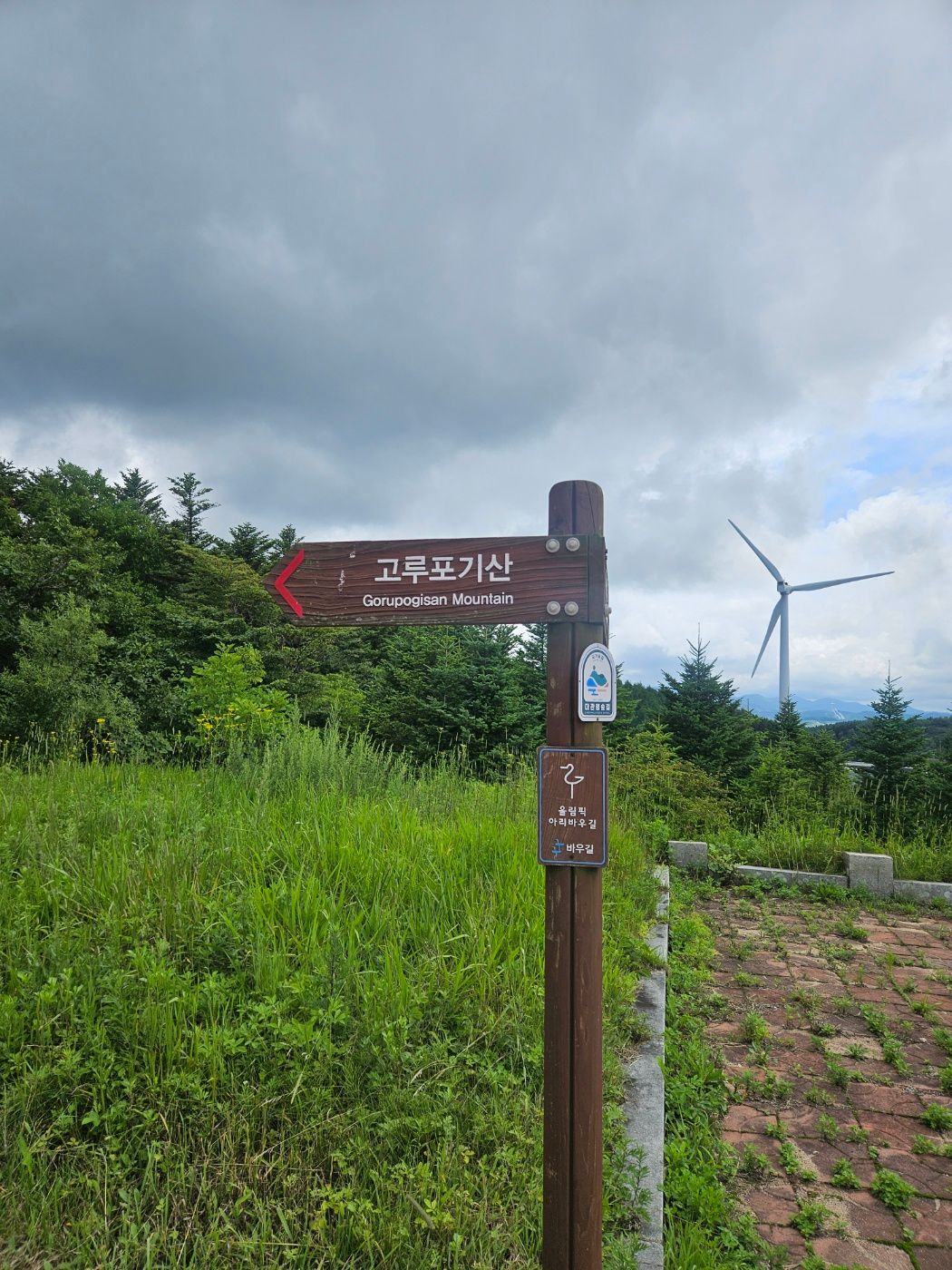
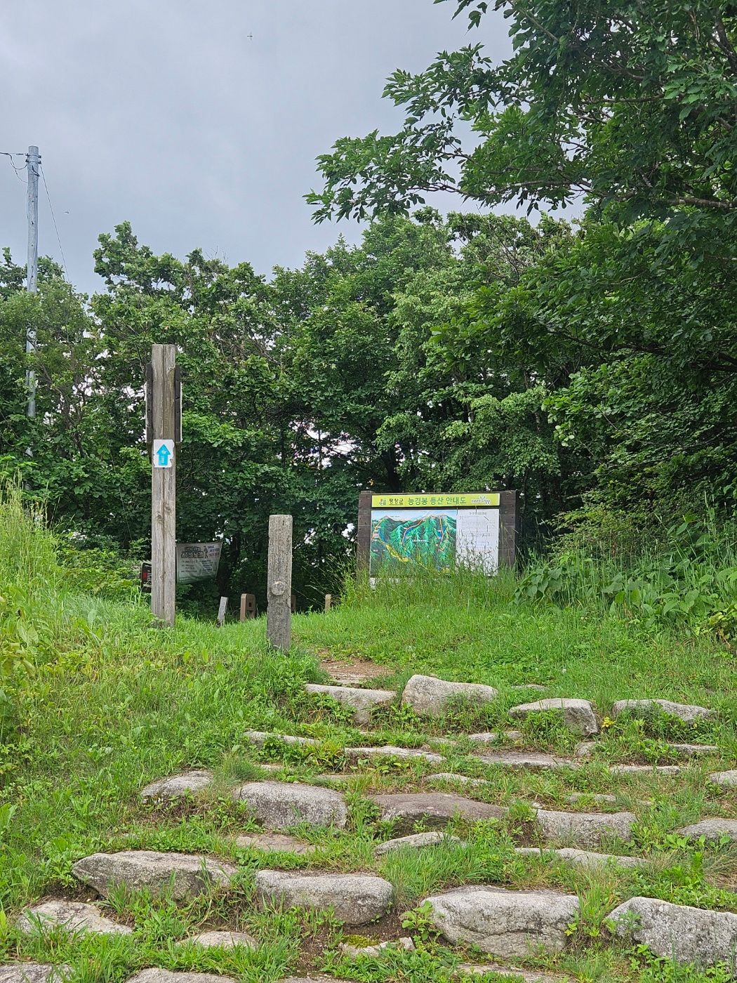
At the top of the stairs, the sign and forest entrance are easy to see.
🌿 From the maintained forest path to the junction
A snake-warning sign greeted me just inside the trail. The first section resembles a well-maintained walking path. It was the rainy season, so the ground was damp, but there was little mud.
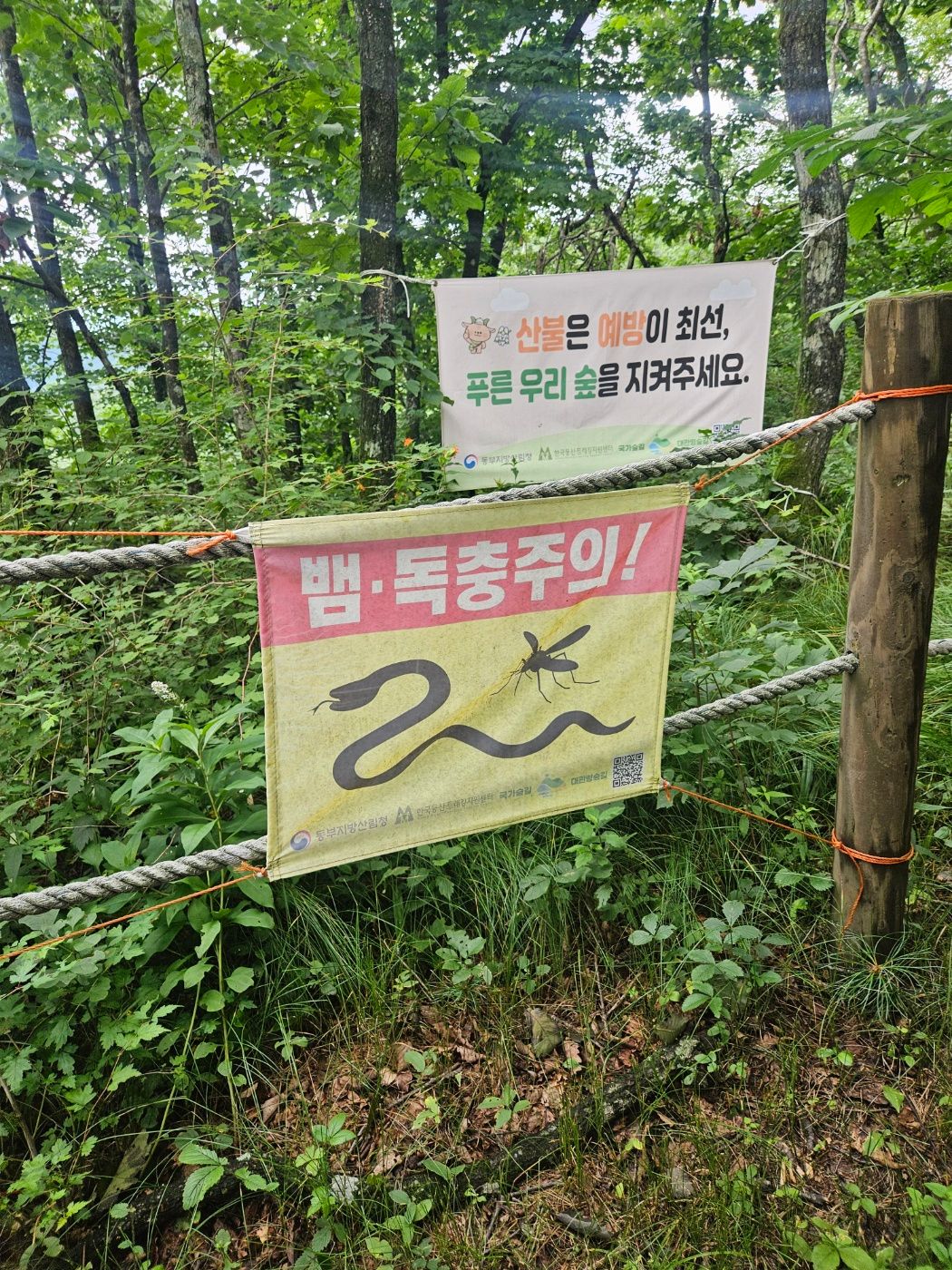
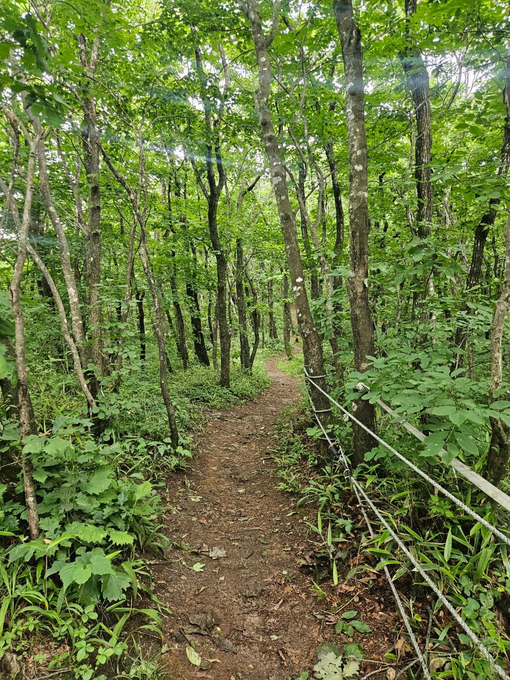
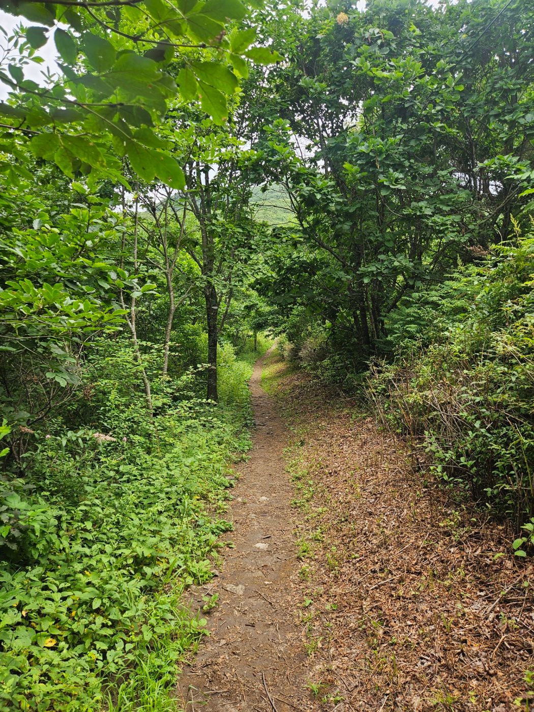
The narrow path soon meets a broad forest road. Check the sign and take the uphill road to the left.
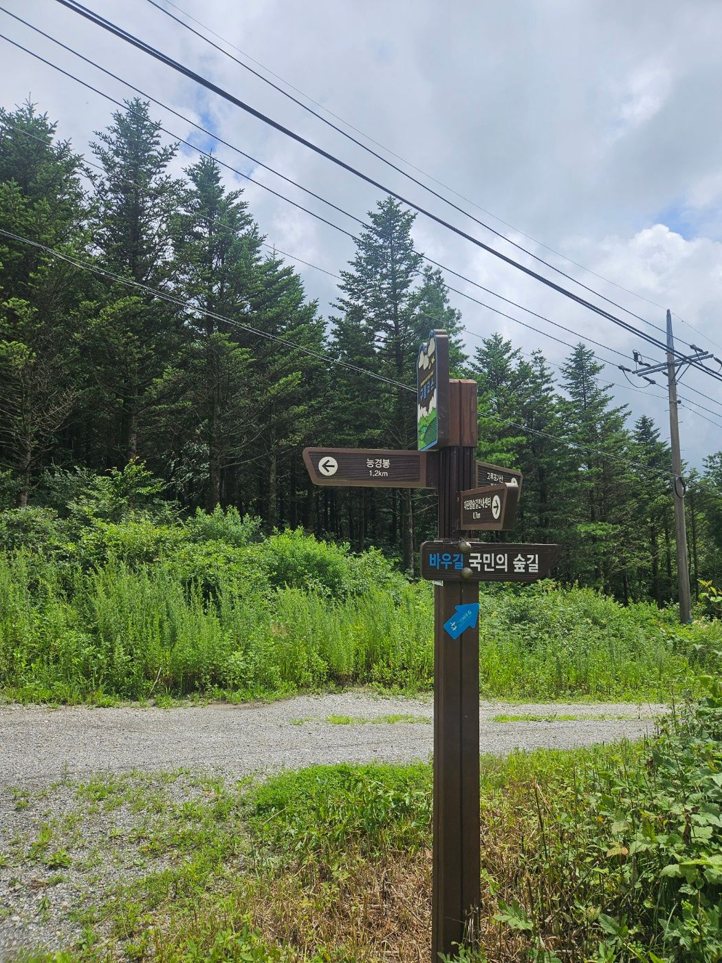
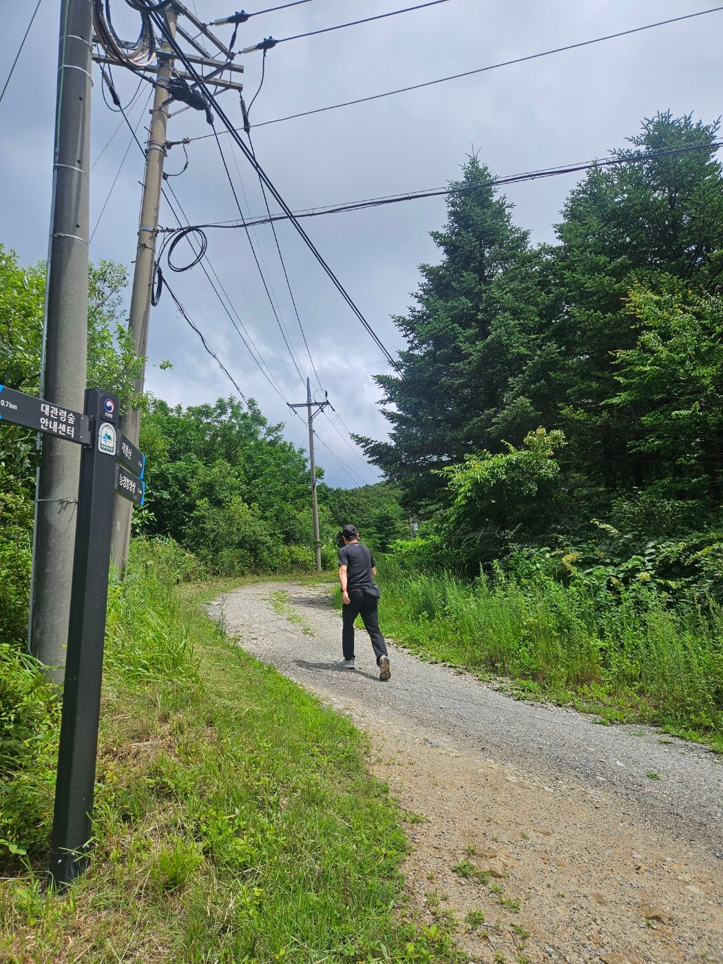
Walk only a short way up the road and look for another mountain-path entrance on the right. This is where the real ascent begins.
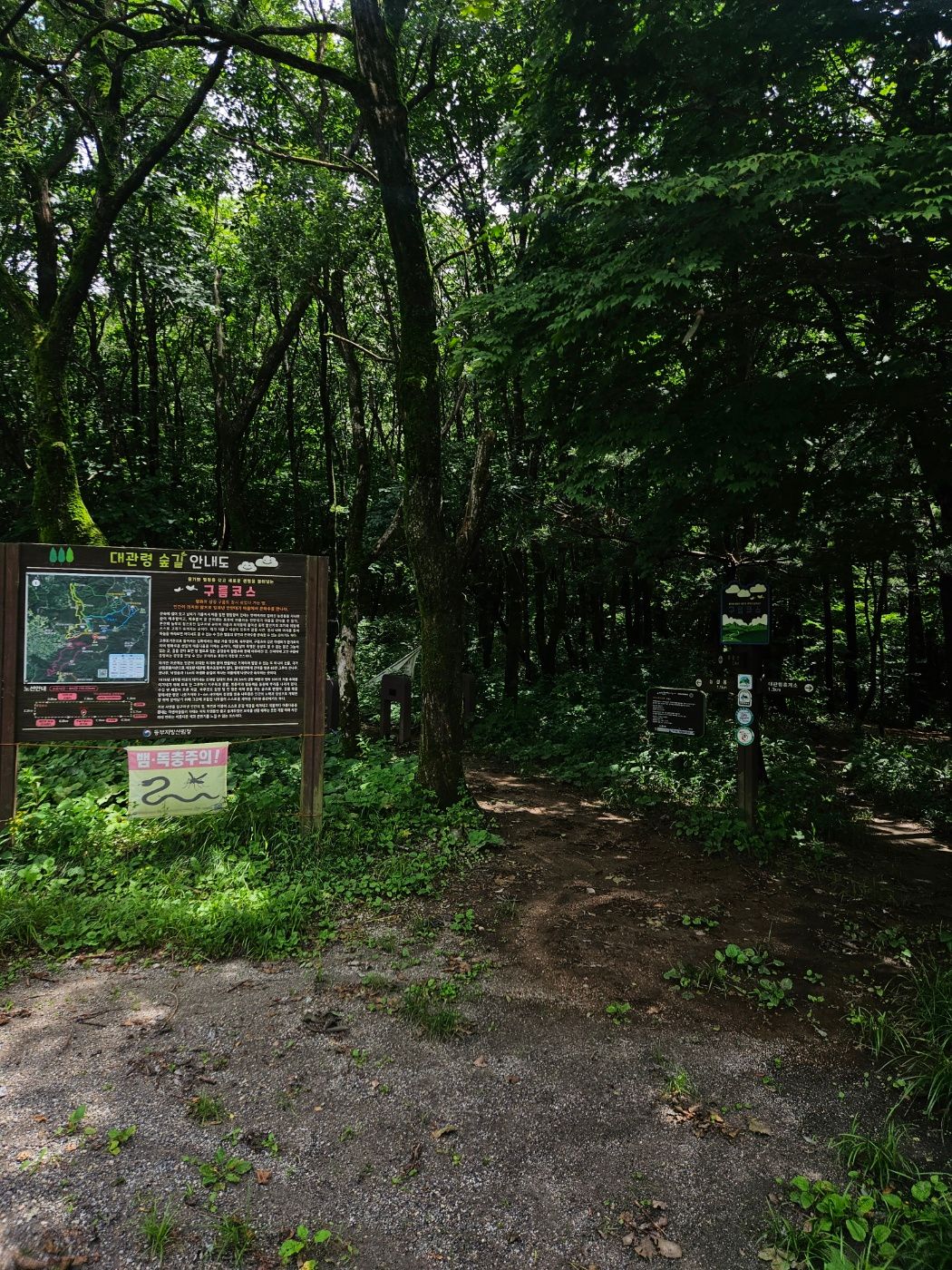
🥾 A steady ascent to the shelter
The gradient increases after entering the mountain path, but the climb is not technically difficult. Most of it is a steady, moderate uphill.
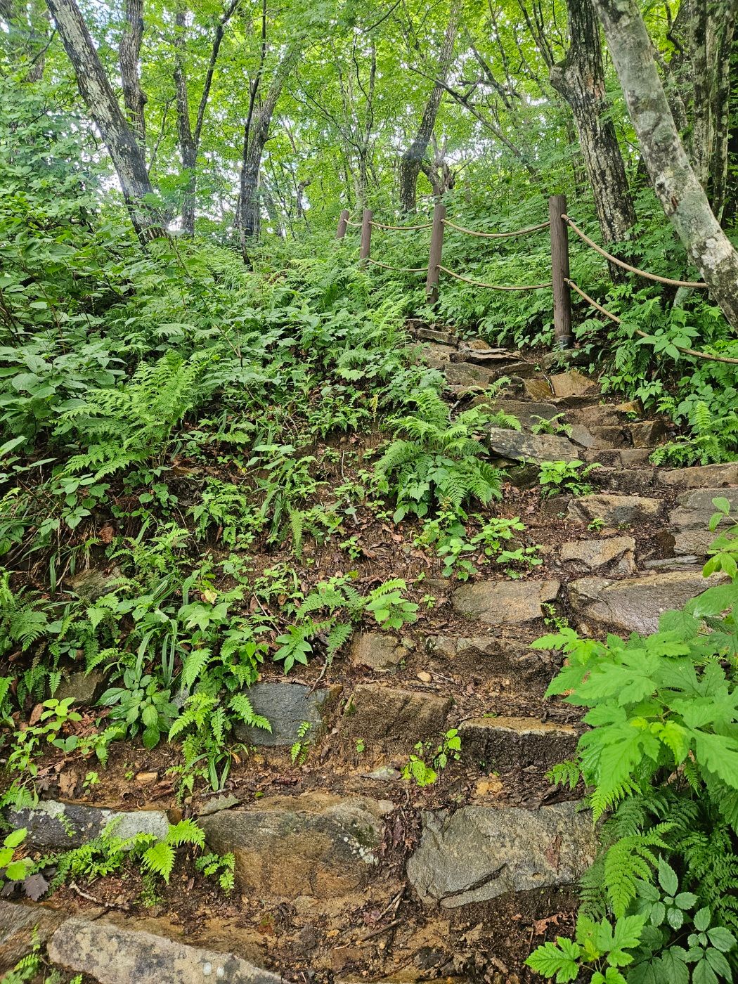
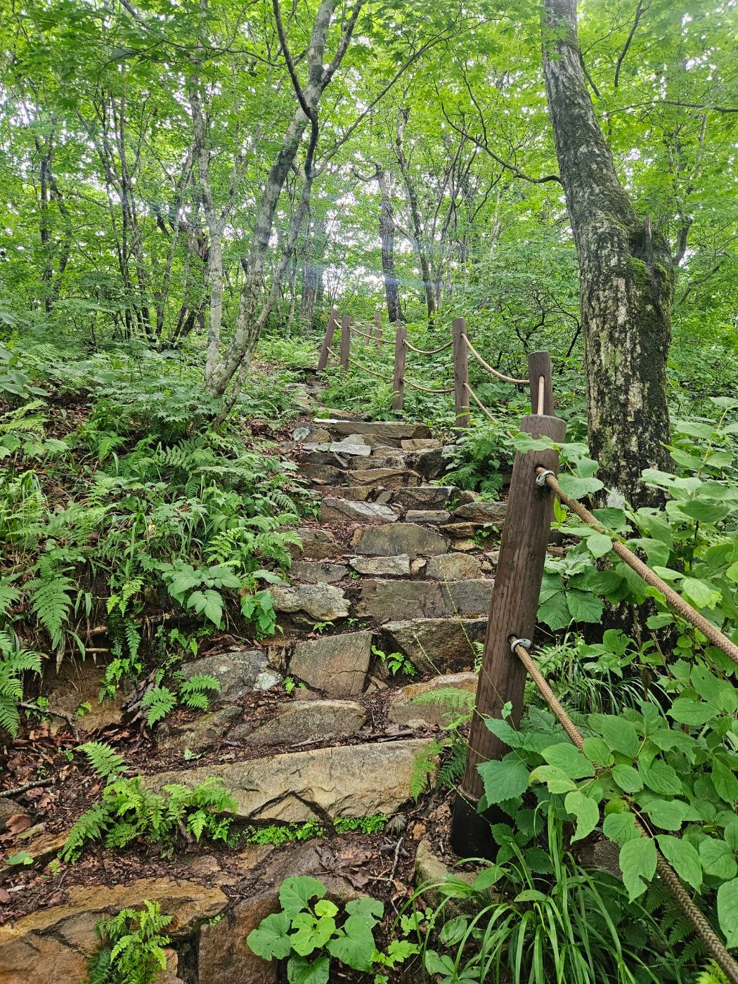
High rainy-season humidity had sweat pouring off me, and gnats followed for nearly the entire hike. Long trousers made it hotter, though I was glad there were no spiderwebs. I kept moving without a break and soon reached a shelter.
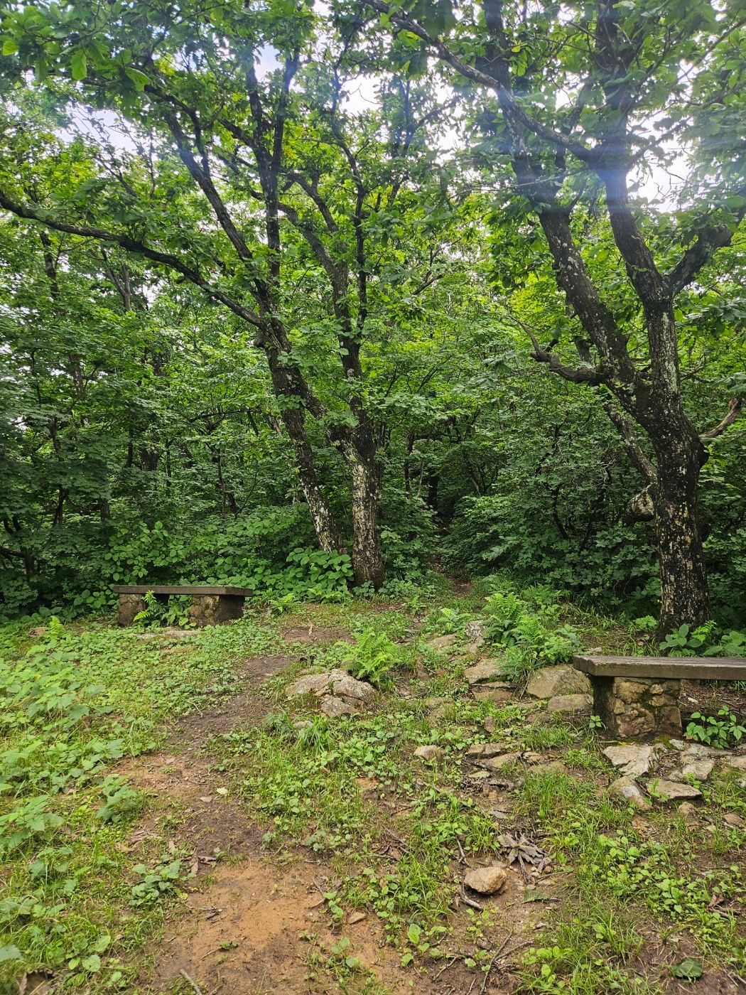
💡 Summer tip: Humidity can raise the perceived difficulty of this short hike. Carry water and insect repellent; a buff or head net can also help with gnats.
🚁 Brief steep climb and the summit helipad
The trail becomes noticeably steeper after the shelter. The section is short, however, and did not feel too demanding.
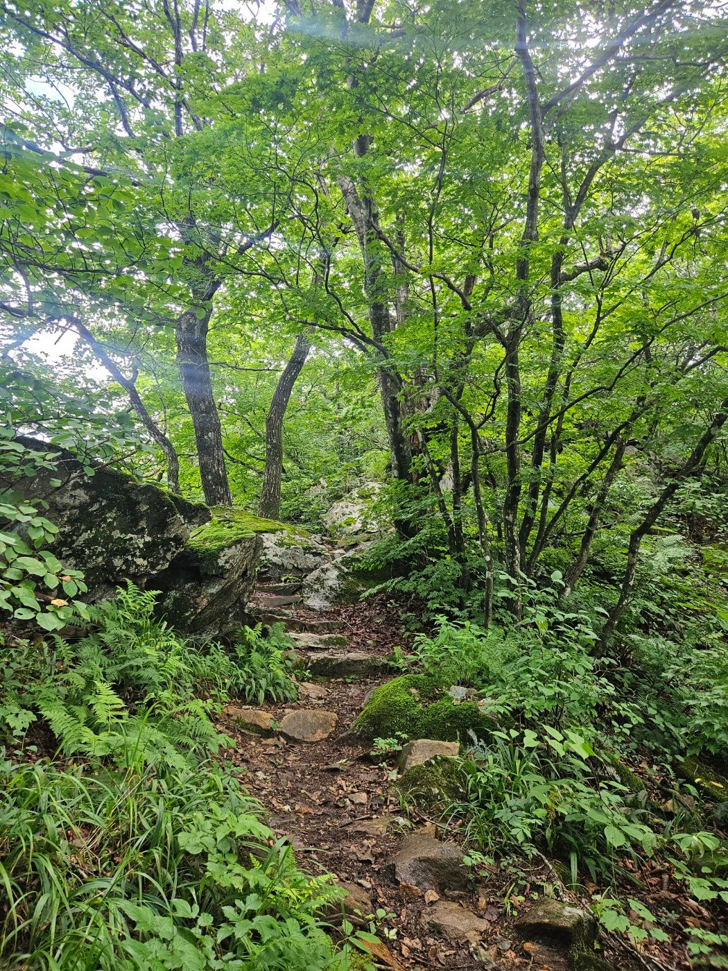
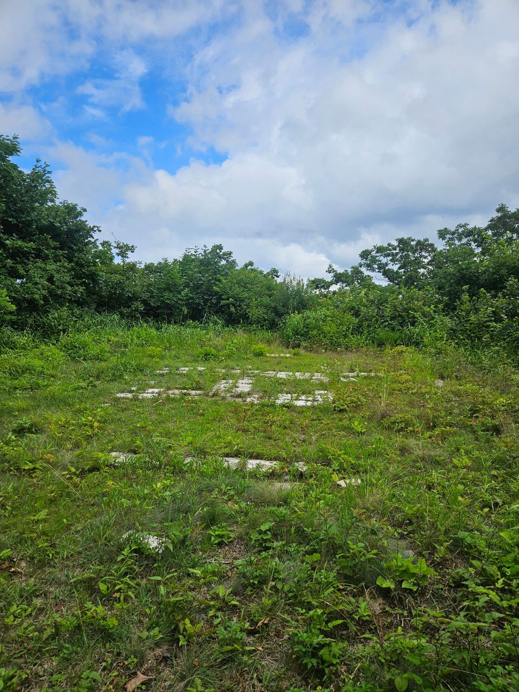
Continue uphill until the helipad comes into view. Once you reach the helipad, the summit is very close.
⛰️ BAC certification at Neunggyeongbong summit
I reached the summit 26 minutes after setting out and completed both the BAC Baekdudaegan and Gangwon 20 Challenge certifications at the summit stone.
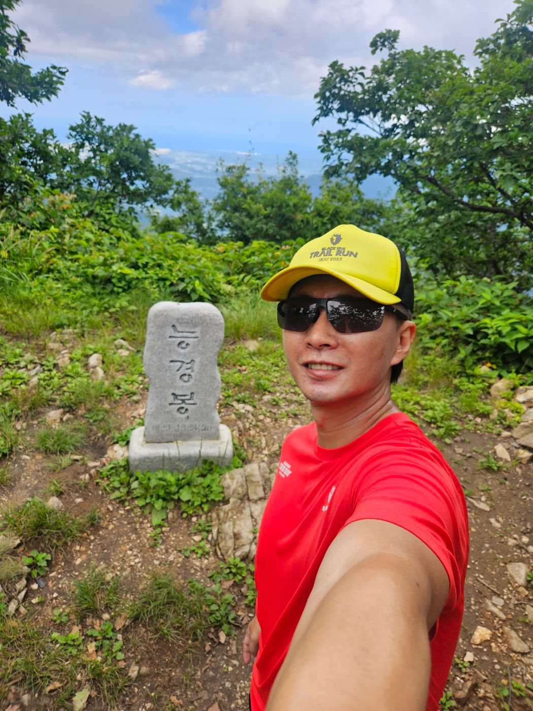
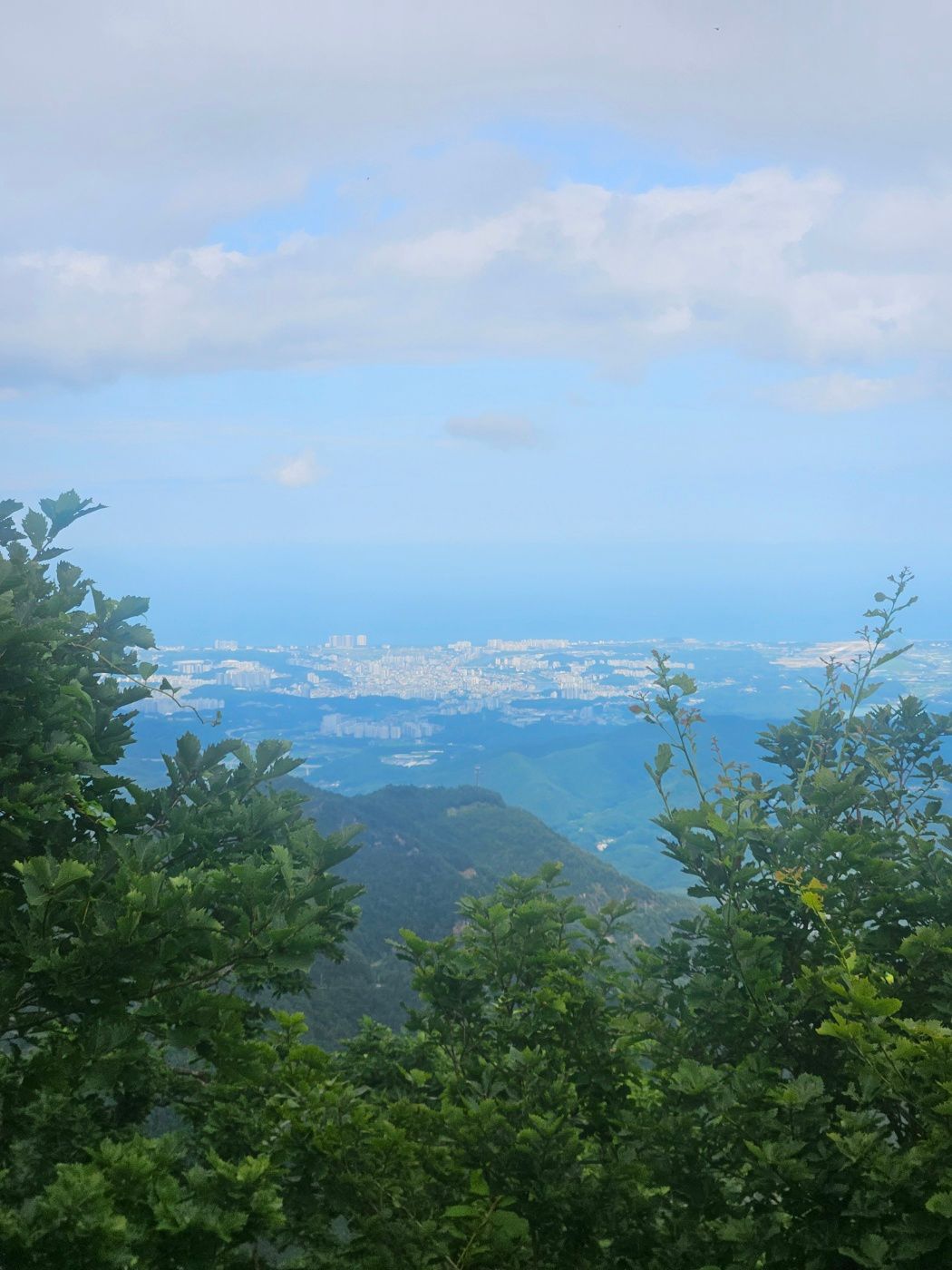
Gangneung was visible behind the summit marker. Rain came and went inland, while the sky toward the coast looked clearer. I decided to see the sea after descending.
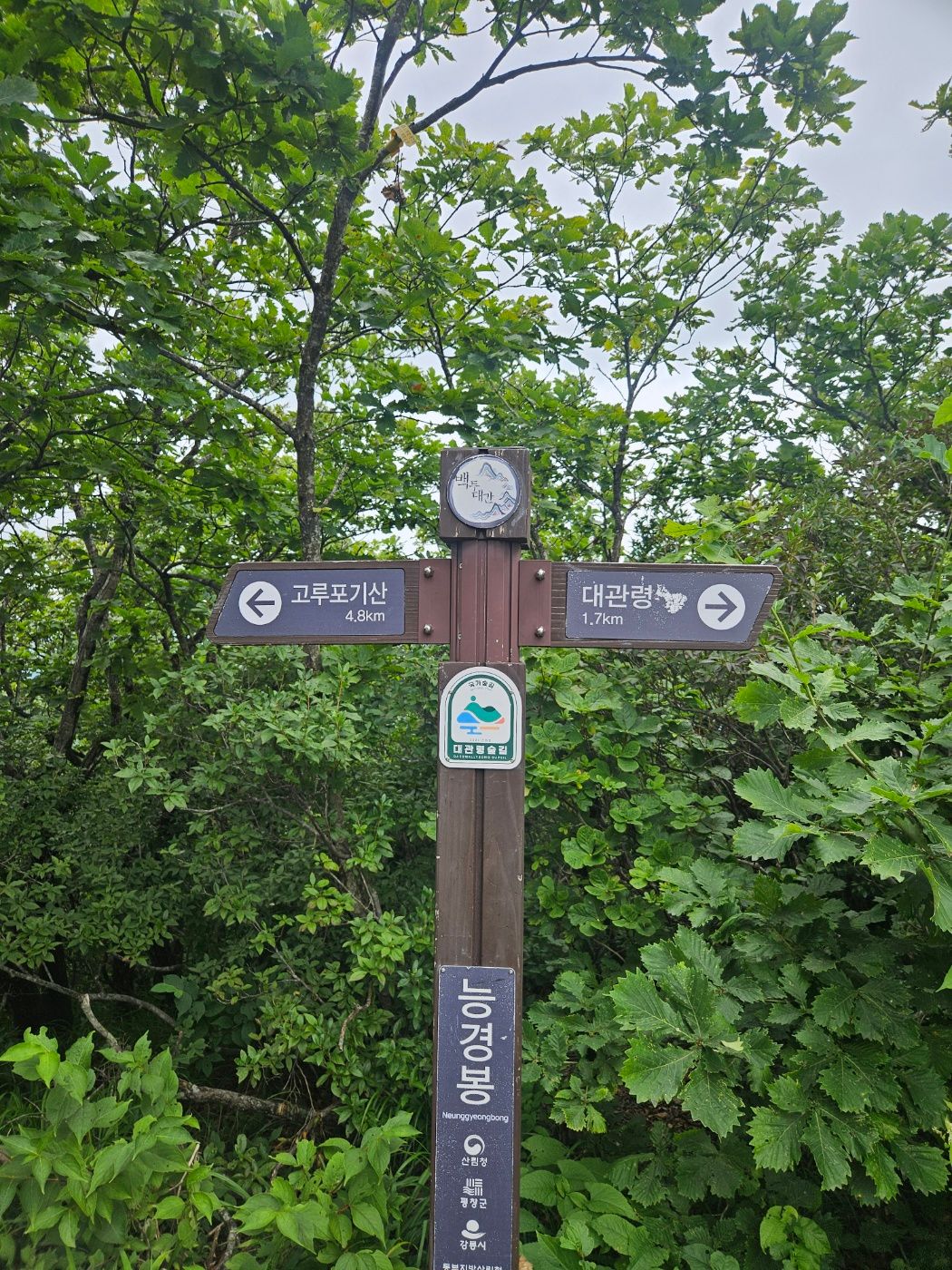
A summit sign points 4.8 km toward Gorupogisan in the opposite direction from the ascent route. Gorupogisan is another BAC certification mountain, but this was only a quick stop during a business trip, so I saved it for another day.
🏁 Returning carefully over wet stone steps
After about five minutes of certification photos and rest, I returned by the same route. Rain had left the stone steps slippery, so I slowed down.
The caution was personal: the previous summer I slipped on a rain-soaked rock at Unaksan and fractured my tailbone. Even on a short hike, take deliberate steps on wet rock and avoid rushing downhill.
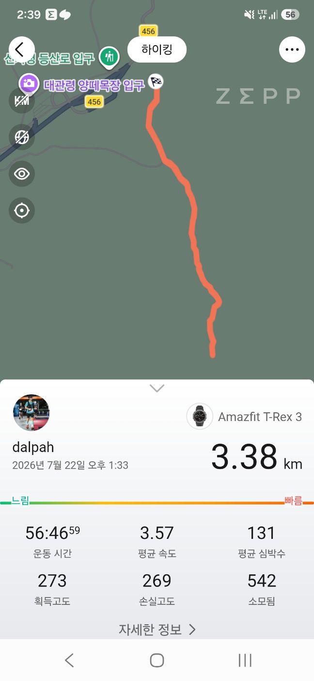
The final record was 3.38 km in 56 minutes 46 seconds, with 273 m of elevation gain.
After the hike, I walked to the village rest area to wash up. Many hikers with large packs appeared to be heading toward Seonjaryeong. I cleaned up, then left for the Gangneung coast, ending this quick Neunggyeongbong hike.
🎒 What to bring
| Essential | Recommended |
|---|---|
| Small bottle of water | Insect repellent or buff |
| Shoes with good grip | Trekking poles after rain |
| Black Yak Alpine Club app | Dry shirt in summer |
❓ Neunggyeongbong shortest-route FAQ
Q. Where can I park for the shortest Neunggyeongbong hike?
A. Use the Daegwallyeong Forest Trail Information Center if you need an EV charger. The Daegwallyeong Village Rest Area is another starting point. The two locations are connected by a short roadside walk; always follow current parking signs and conditions.
Q. How long does it take to reach Neunggyeongbong summit?
A. I reached the summit in 26 minutes at a fast pace. Including about five minutes at the top, the full 3.38 km out-and-back took 56 minutes 46 seconds. Allow more time based on your pace and trail conditions.
Q. Which BAC programs include Neunggyeongbong?
A. Neunggyeongbong is a checkpoint for BAC's Baekdudaegan and Gangwon 20 Challenge. It is not a Famous 100 or Famous 100+ checkpoint.
Q. How do I find the trailhead?
A. Look for the stairs and monument near Daegwallyeong Village Rest Area. Enter the forest above the stairs, turn left uphill at the forest-road junction, and then enter the next mountain path. The shelter and helipad lead toward the summit.
Q. Can I continue from Neunggyeongbong to Gorupogisan?
A. The summit sign lists Gorupogisan as 4.8 km away. Return by the ascent route for the shortest out-and-back hike; a linked hike requires substantially more time and preparation.