GuideHaemyeongsan Shortest Hike: Jeondeungogae to Bomunsa
A practical guide to Haemyeongsan on Seokmodo: Jeondeungogae parking, a 26-minute summit ascent, the Bomunsa ridge route, and the road walk back.
I visited Haemyeongsan on Seokmodo, Ganghwado, for a Black Yak Island & Mountain 100 certification hike. You can return from the summit for a short out-and-back, but I continued along the ridge to Bomunsa as trail-running training.
I parked at Jeondeungogae, climbed Haemyeongsan, descended to Bomunsa, and then walked along the road back to my car.
Shortest-route answer: It took me 26 minutes to reach Haemyeongsan's summit from Jeondeungogae. For the simplest certification hike, return the way you came. Continuing to Bomunsa adds repeated climbs, steep descents, and about 1 hour 10 minutes of road walking if you have no separate transport plan.
📌 Hike at a Glance
| Item | Details |
|---|---|
| Route taken | Jeondeungogae → Haemyeongsan → ridge → Bomunsa junction → Bomunsa → road → Jeondeungogae |
| Shortest route | Jeondeungogae → Haemyeongsan → Jeondeungogae out-and-back |
| Recorded trail distance | 6.79km from Jeondeungogae to Bomunsa |
| Moving time | 1:45:02 on the trail recording |
| Total time | About 2 hours 50 minutes including the road return |
| Elevation gain | 586m on the trail recording |
| Time to summit | 26 minutes |
| Difficulty | Moderate summit return; steeper and more strenuous to Bomunsa |
| Parking | Jeondeungogae parking area with a restroom |
| Black Yak certification | Island & Mountain 100 at Haemyeongsan summit |
💡 Route choice: Return from the summit if certification is your only goal. The Bomunsa route requires more ridge travel and a transport plan—or an additional road walk back to Jeondeungogae.
🚗 Parking at Jeondeungogae
The trail starts at Jeondeungogae, where I found a spacious parking area and a restroom.
📍 Jeondeungogae
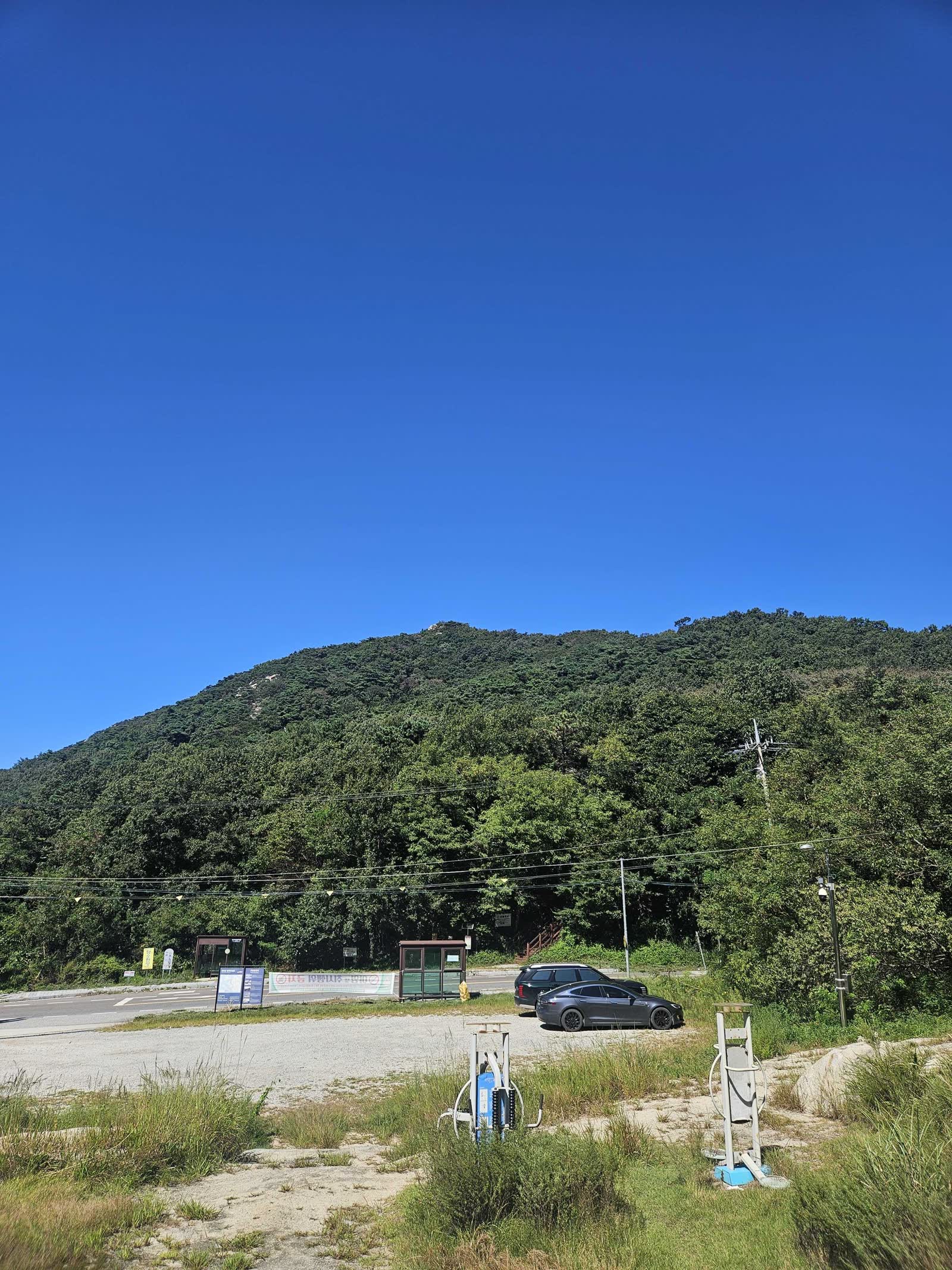
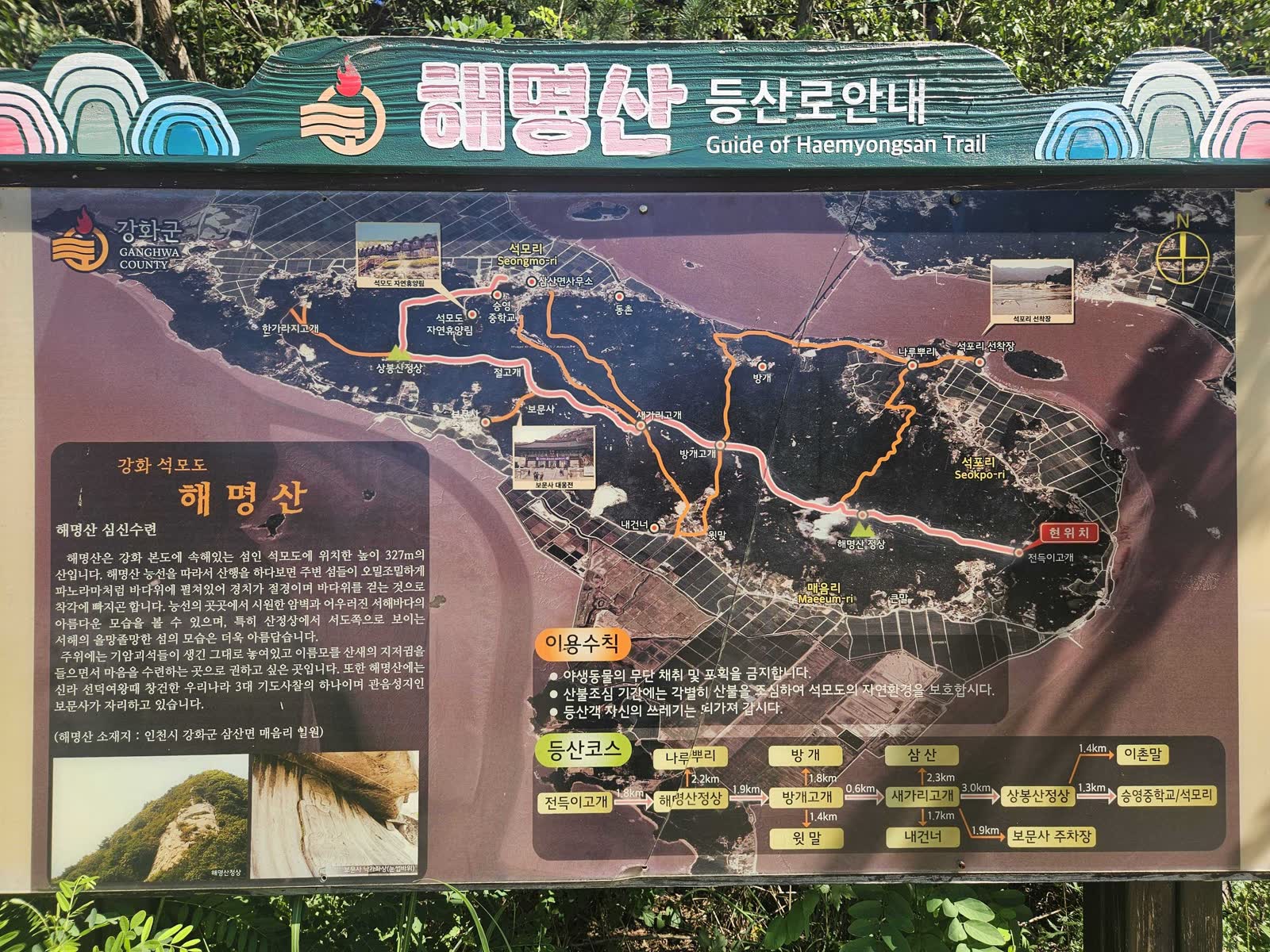
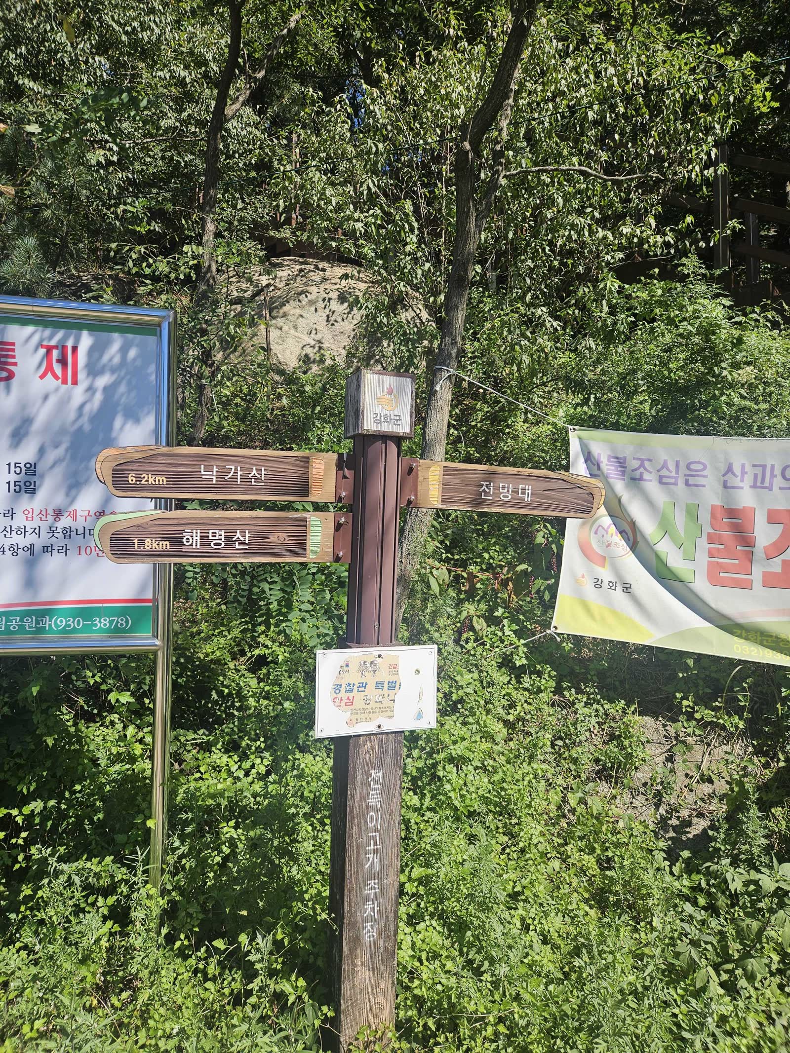
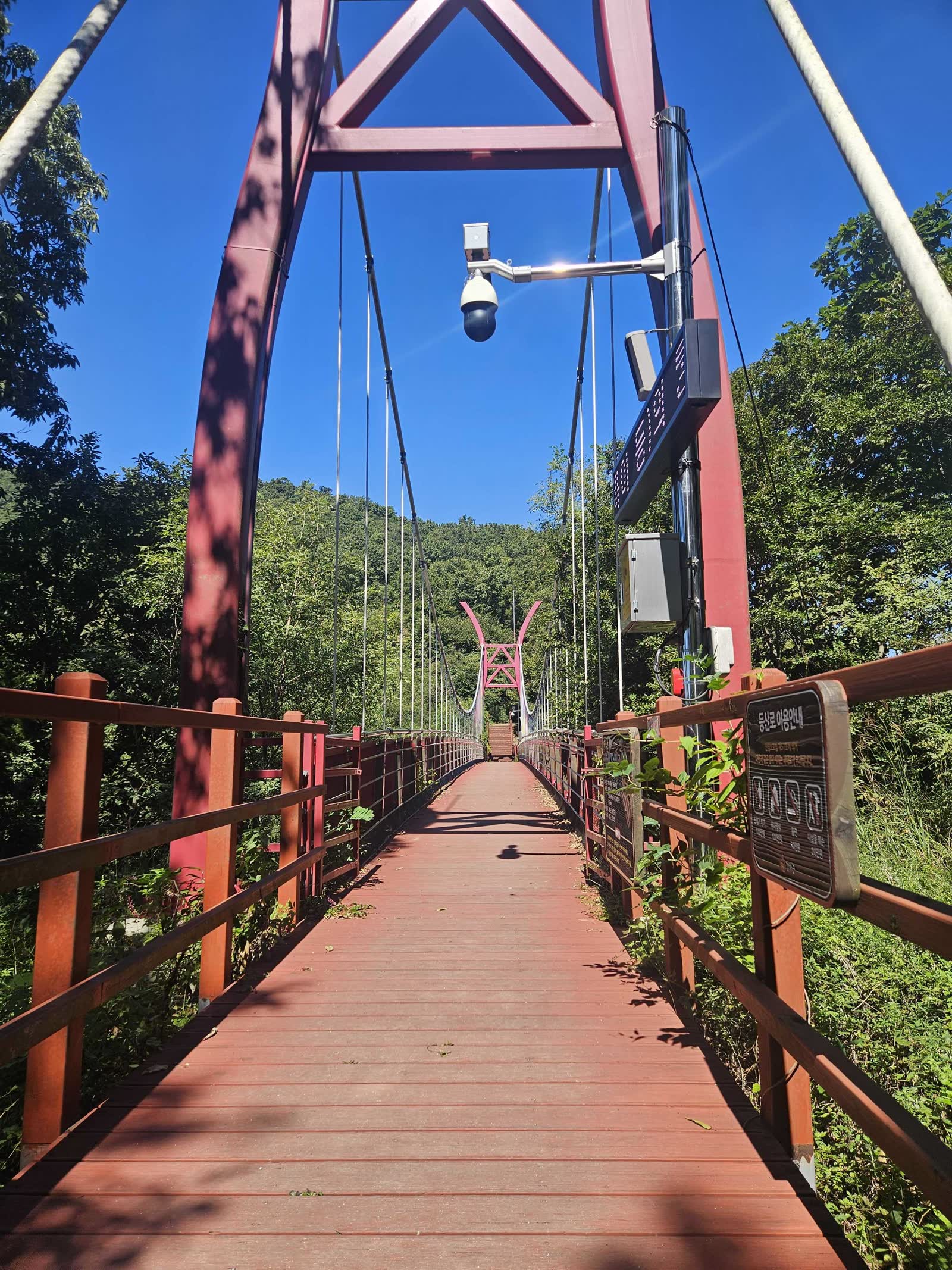
I checked the trail information across the road before starting. My plan was to leave the ridge before Sangbongsan, descend to Bomunsa, and walk back along the road. You can cross the road and enter the trail directly, or go up beside the sign and use the pedestrian suspension bridge. I carried one 500ml bottle of water.
⛰️ Haemyeongsan Summit in 26 Minutes
The hike begins on a steep dirt slope. The view soon opens, but the peak visible ahead is not the summit; one more high point remains behind it.
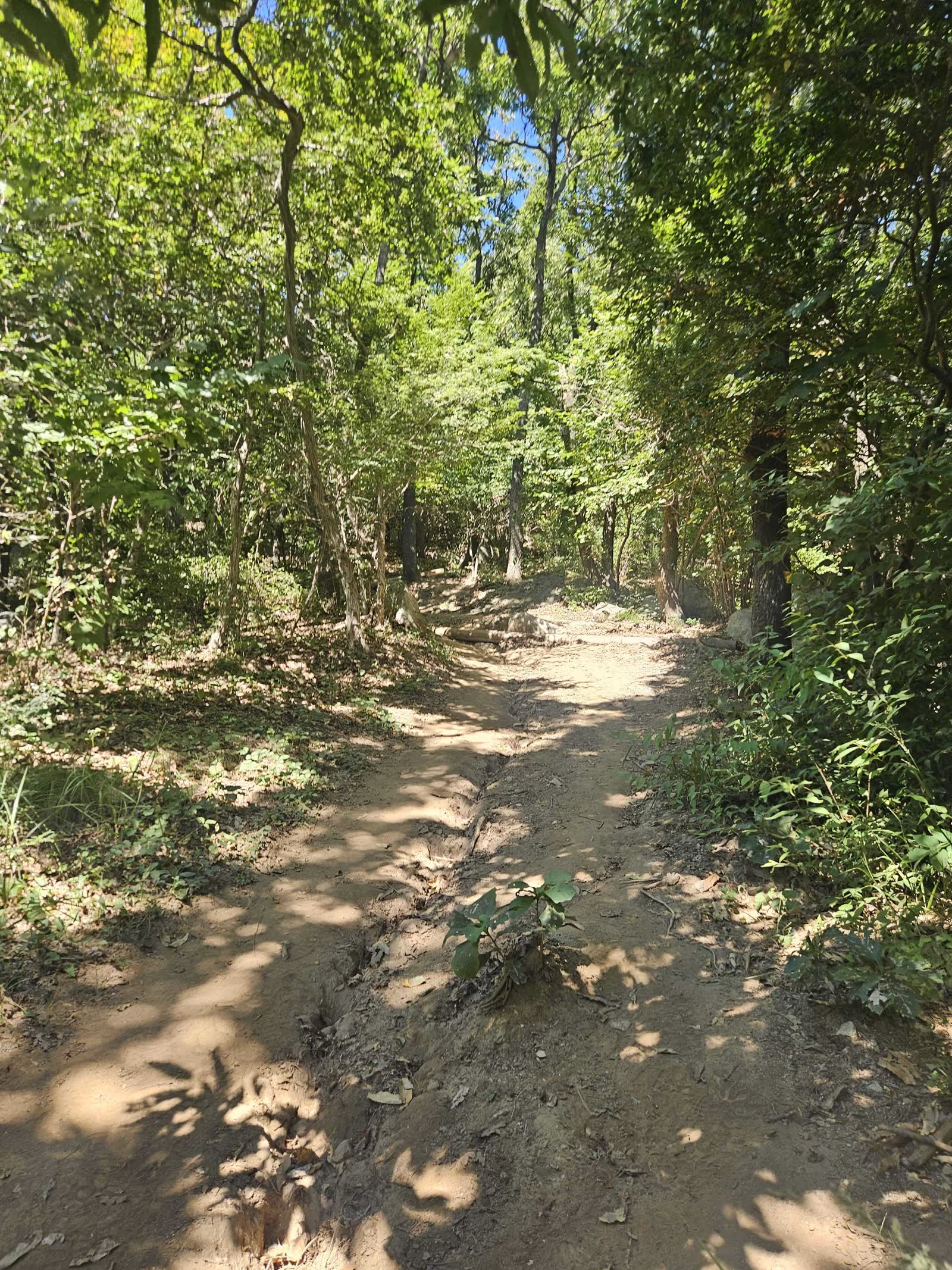
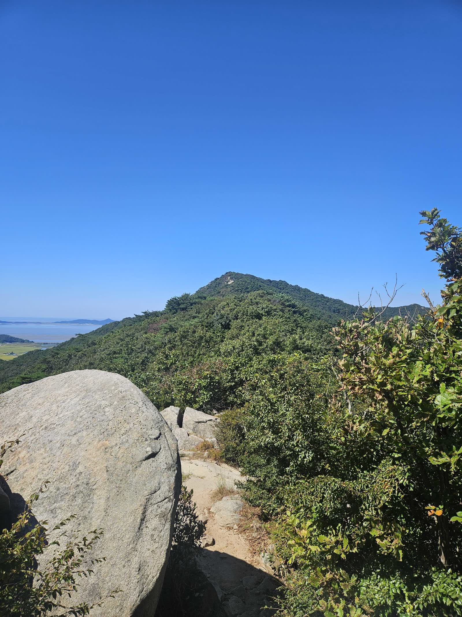
Rock slabs become more frequent after the viewpoint. A final rope-assisted climb leads to the 327m summit, which I reached 26 minutes after leaving Jeondeungogae.

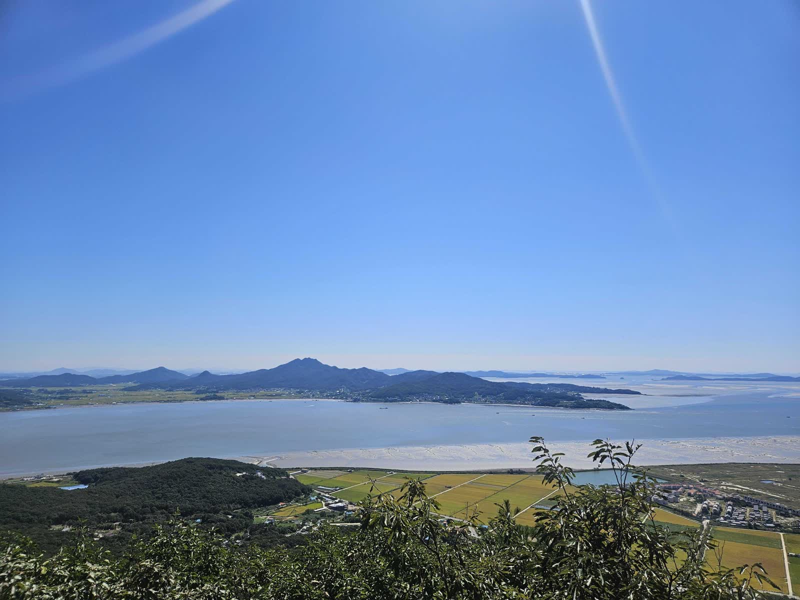
For the shortest certification hike, turn around here. Slow down on the rock and rope sections during the descent.
🌲 Rolling Ridge toward Bomunsa
I continued in the same direction for trail-running training. The ridge alternates between steep climbs and descents and gentler runnable sections.
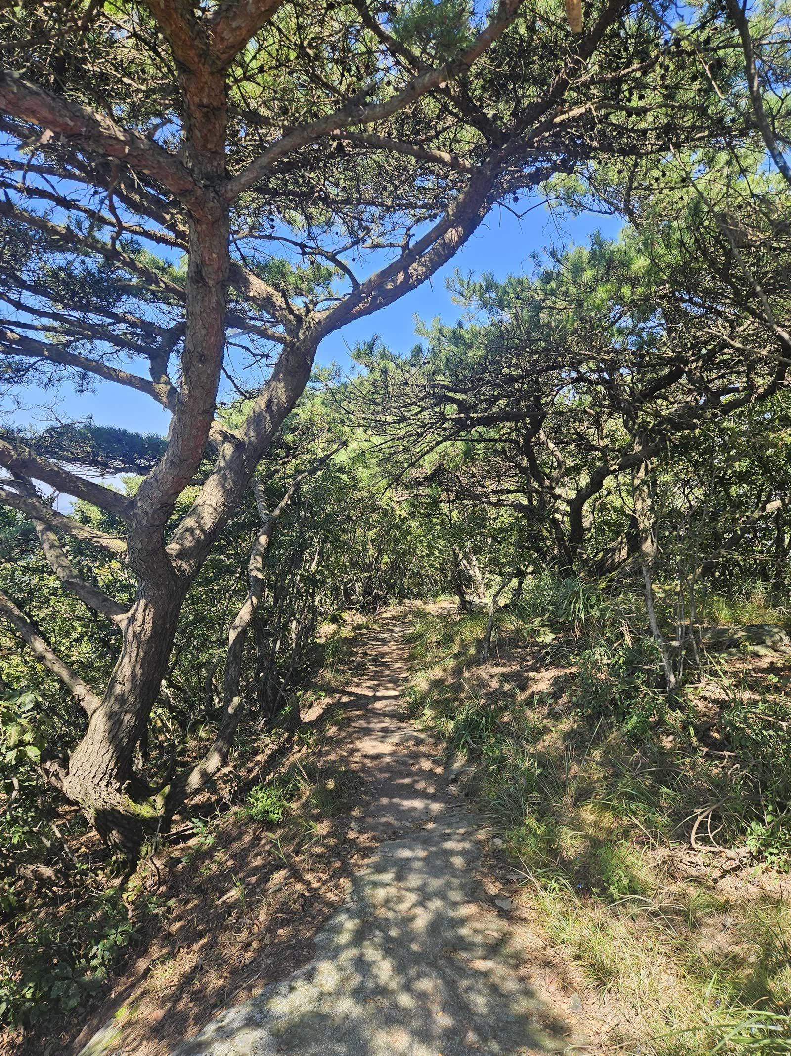
Several flat clearings along the ridge looked suitable for resting and reminded me of backpacking videos. I could not confirm whether they were the same locations I had seen online. Some descents require a rope. With TransJeju about two weeks away, I prioritized avoiding injury over speed.
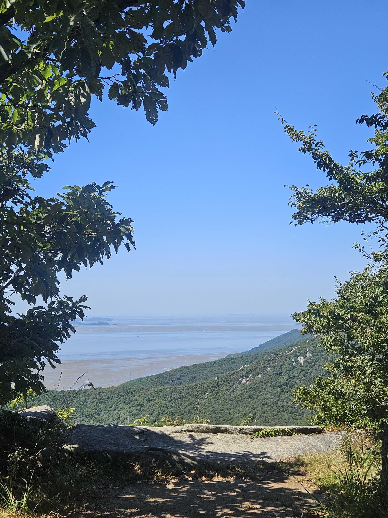
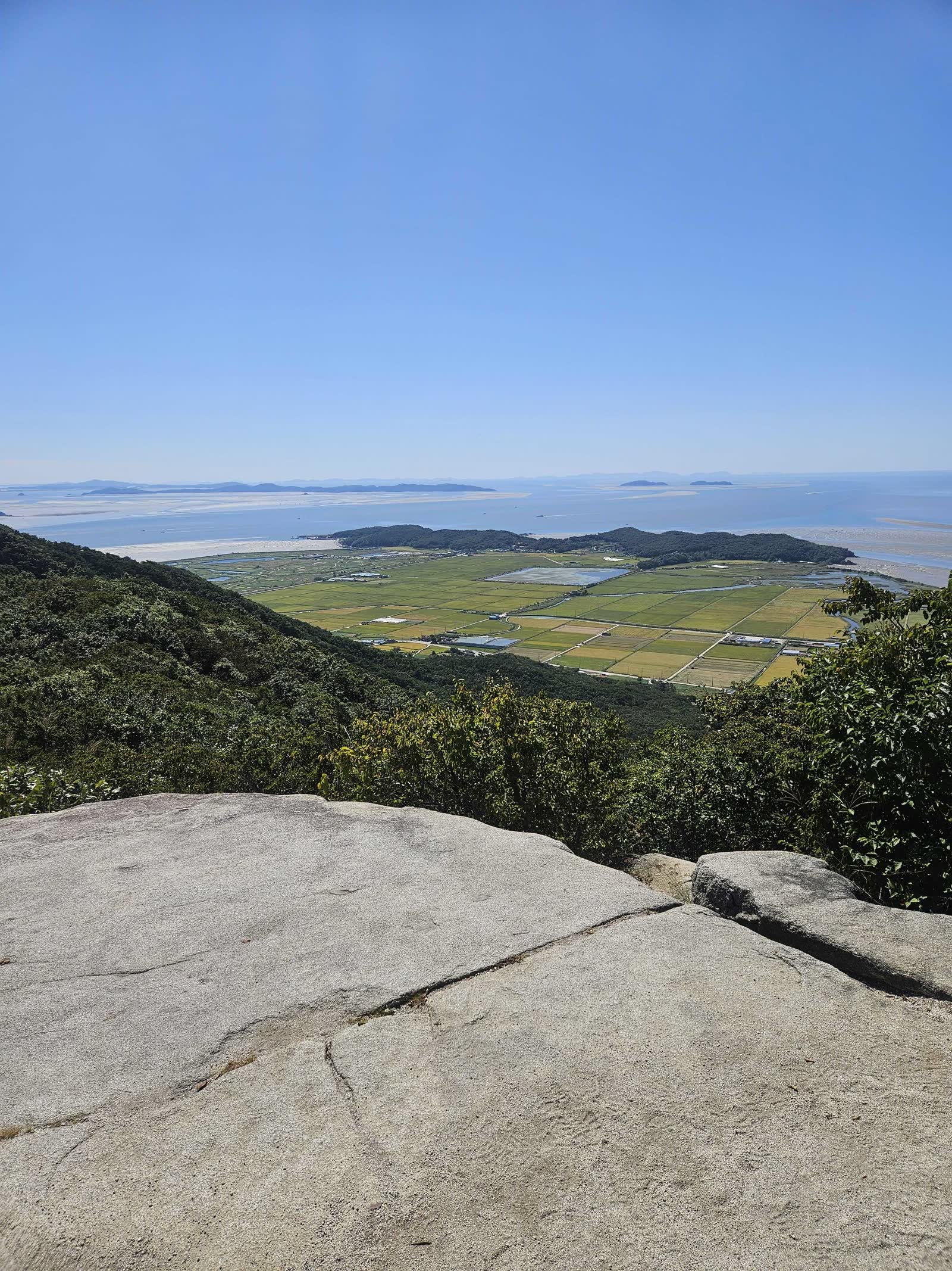
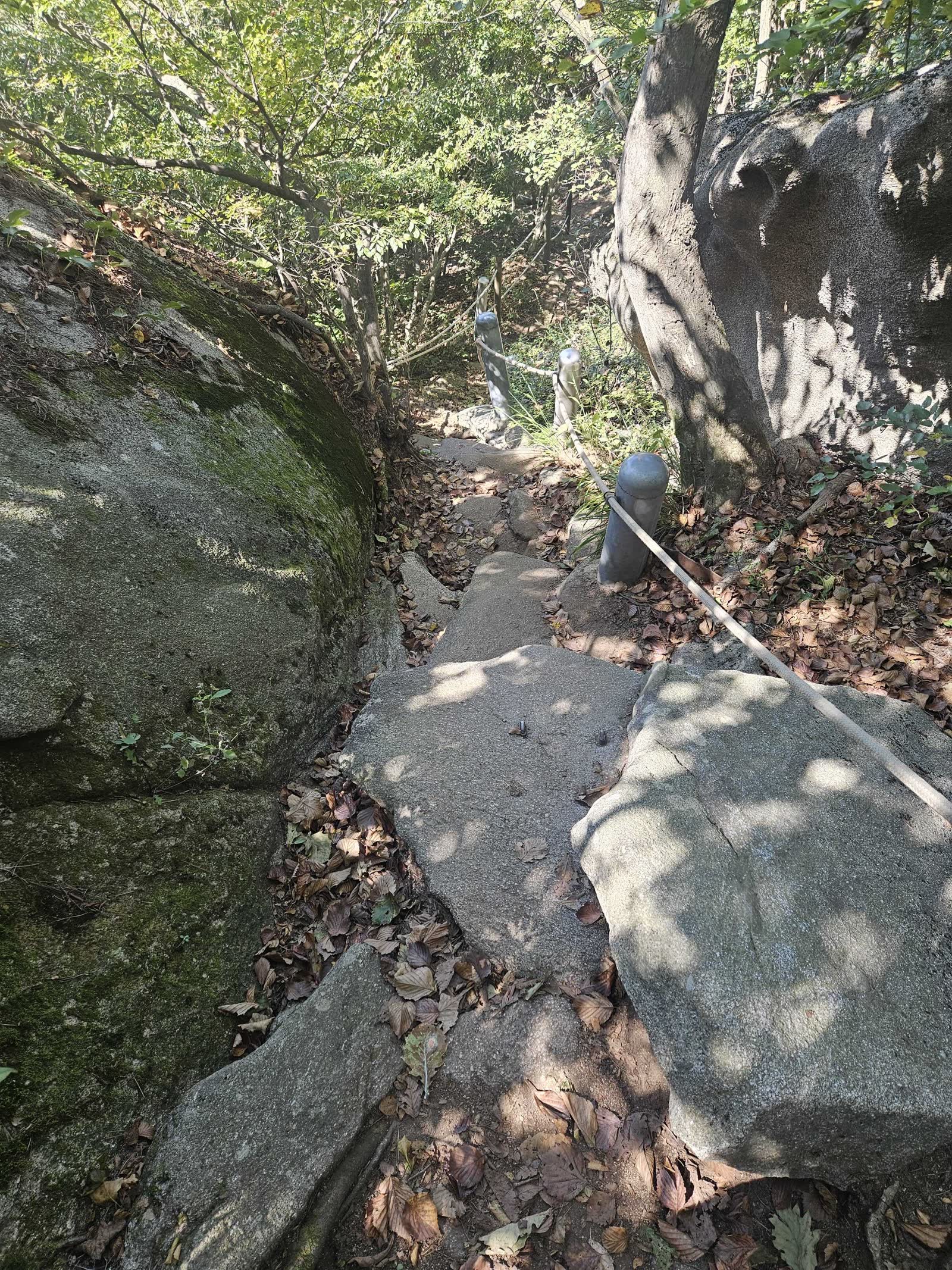
⚠️ Steep terrain: The ridge has more climbing and descending than the mountain's modest elevation suggests. Wet rock and fallen leaves can make the rope sections slippery, so gloves and controlled movement help.
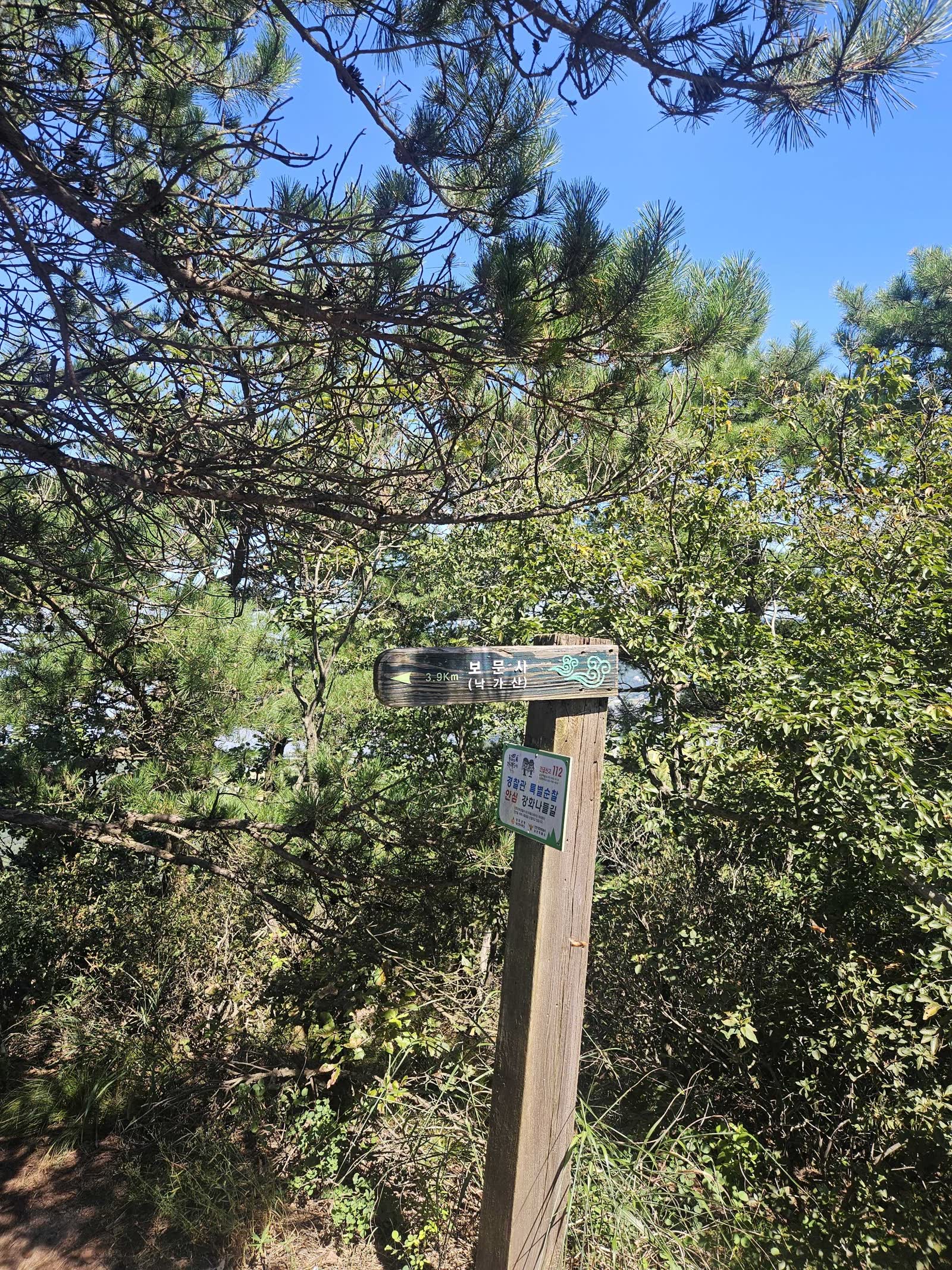
🪨 Around 4km In, 1.6km to Bomunsa
After roughly 4km from Jeondeungogae, a sign showed 1.6km remaining to Bomunsa. A little farther on was another level clearing with a view and enough room to rest, although its exposed edge requires care.
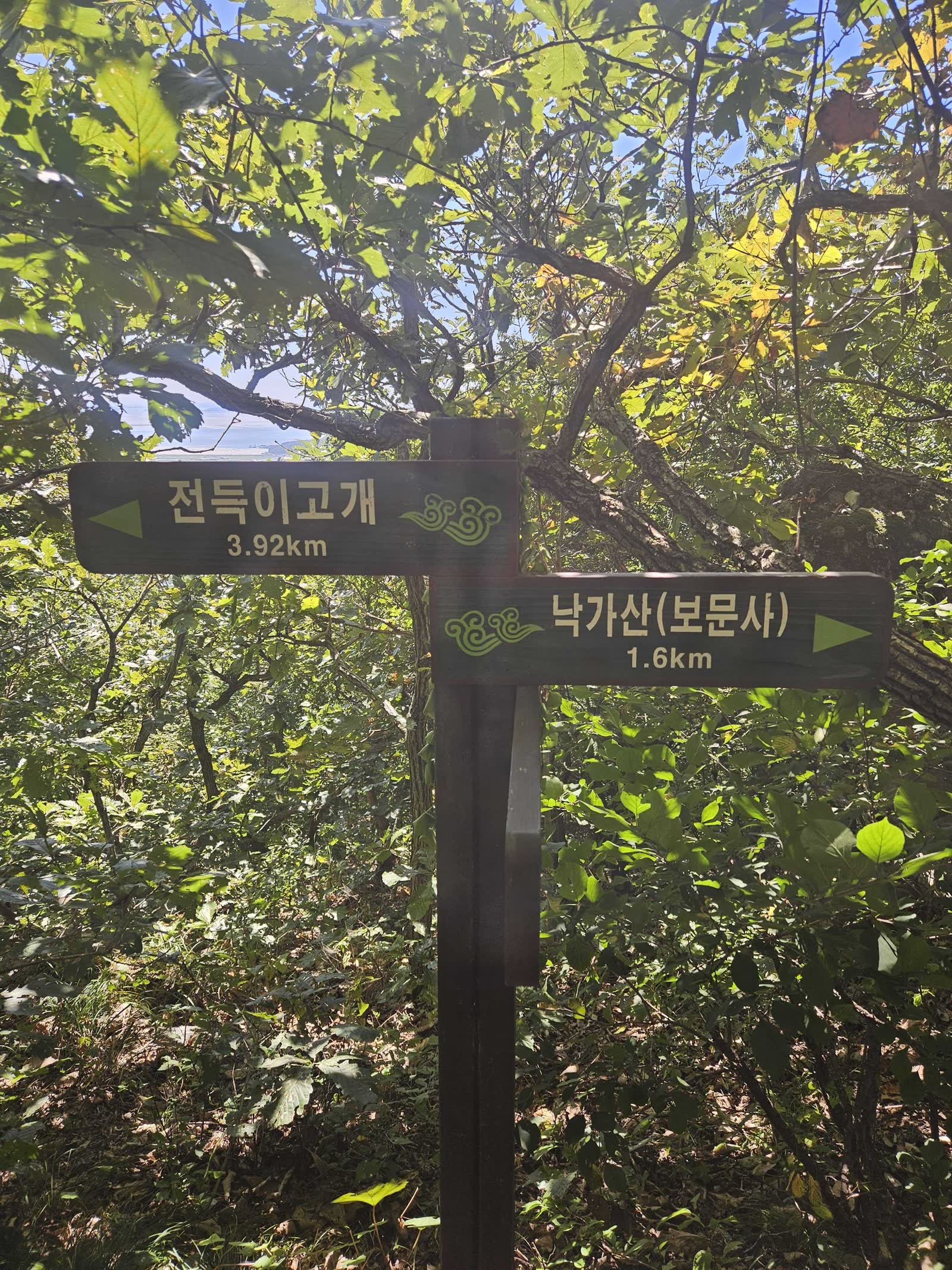
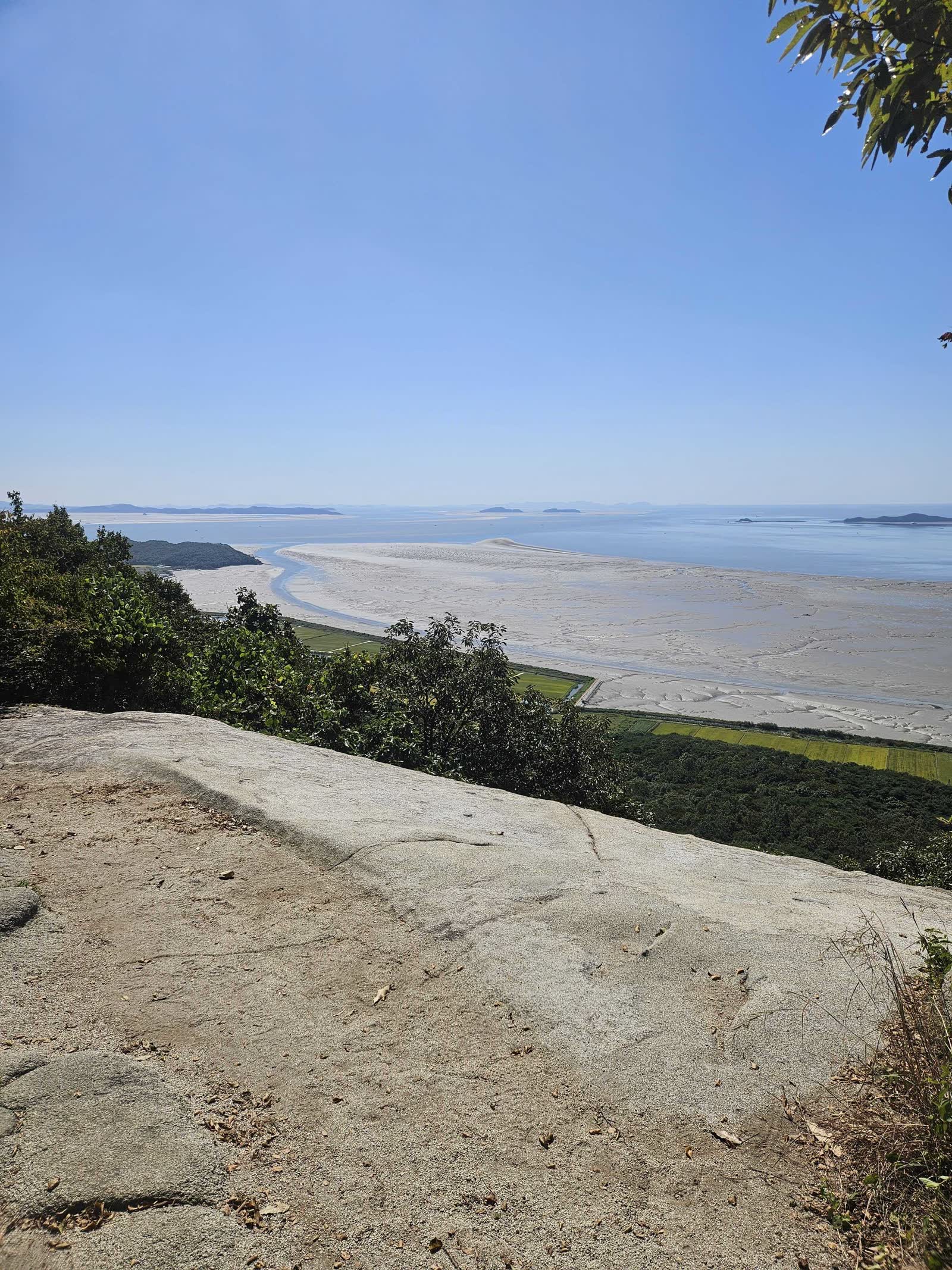
Family camping comes first for me, so backpacking may still be some time away, but the ridge made me want to return with a pack someday.
↙️ Descending to Bomunsa Instead of Sangbongsan
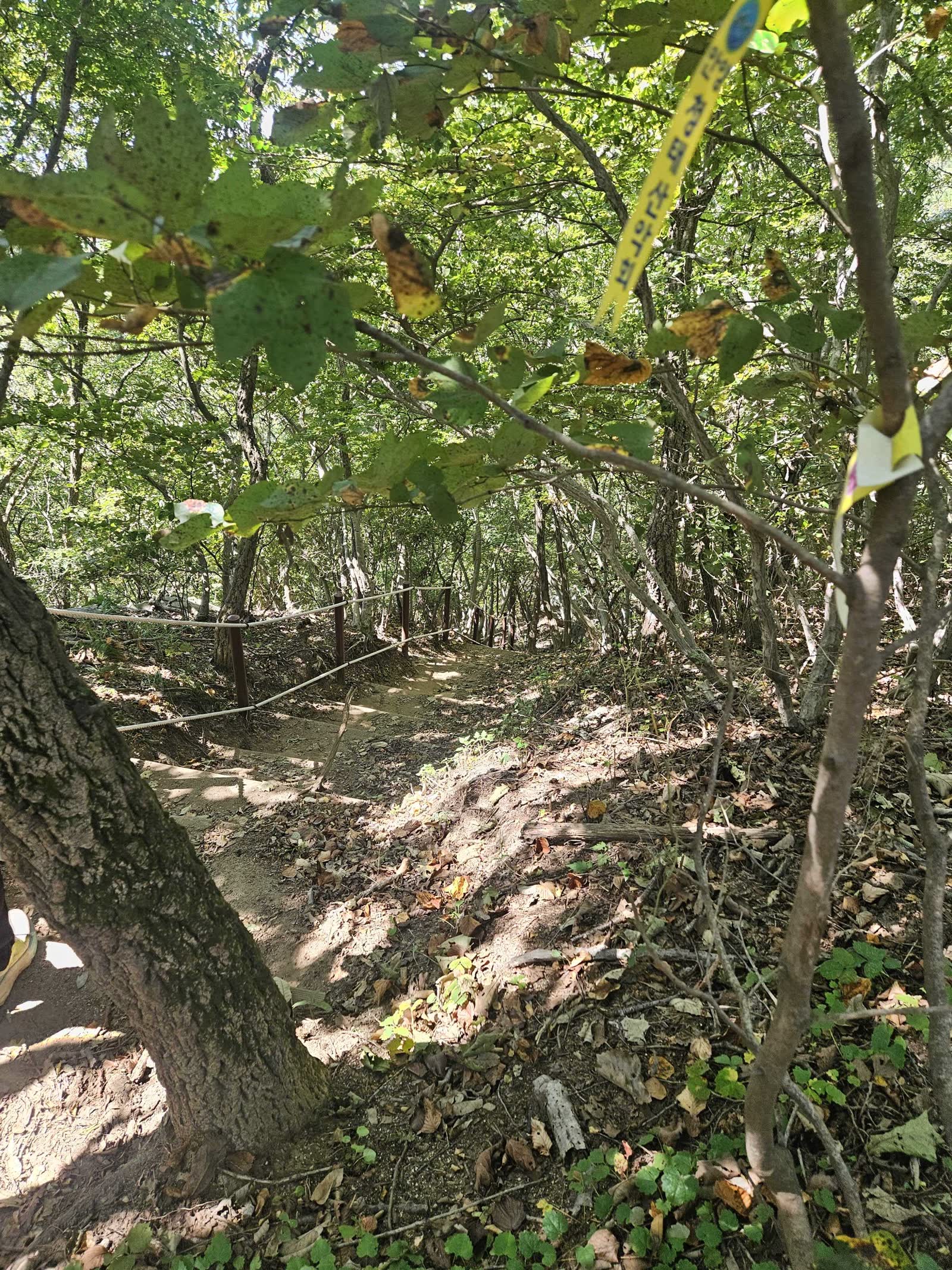
At the junction, Sangbongsan was 1.7km away. I turned left onto the descent to Bomunsa instead.
A rope handrail makes the descent easy to identify—and signals how steep it is. Climbing this route in reverse would demand considerable effort from the start.
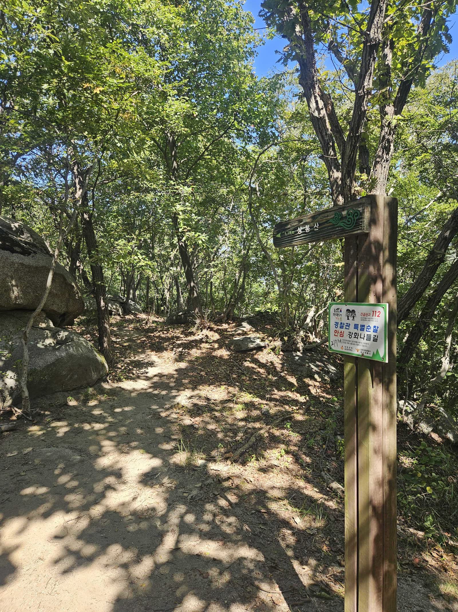
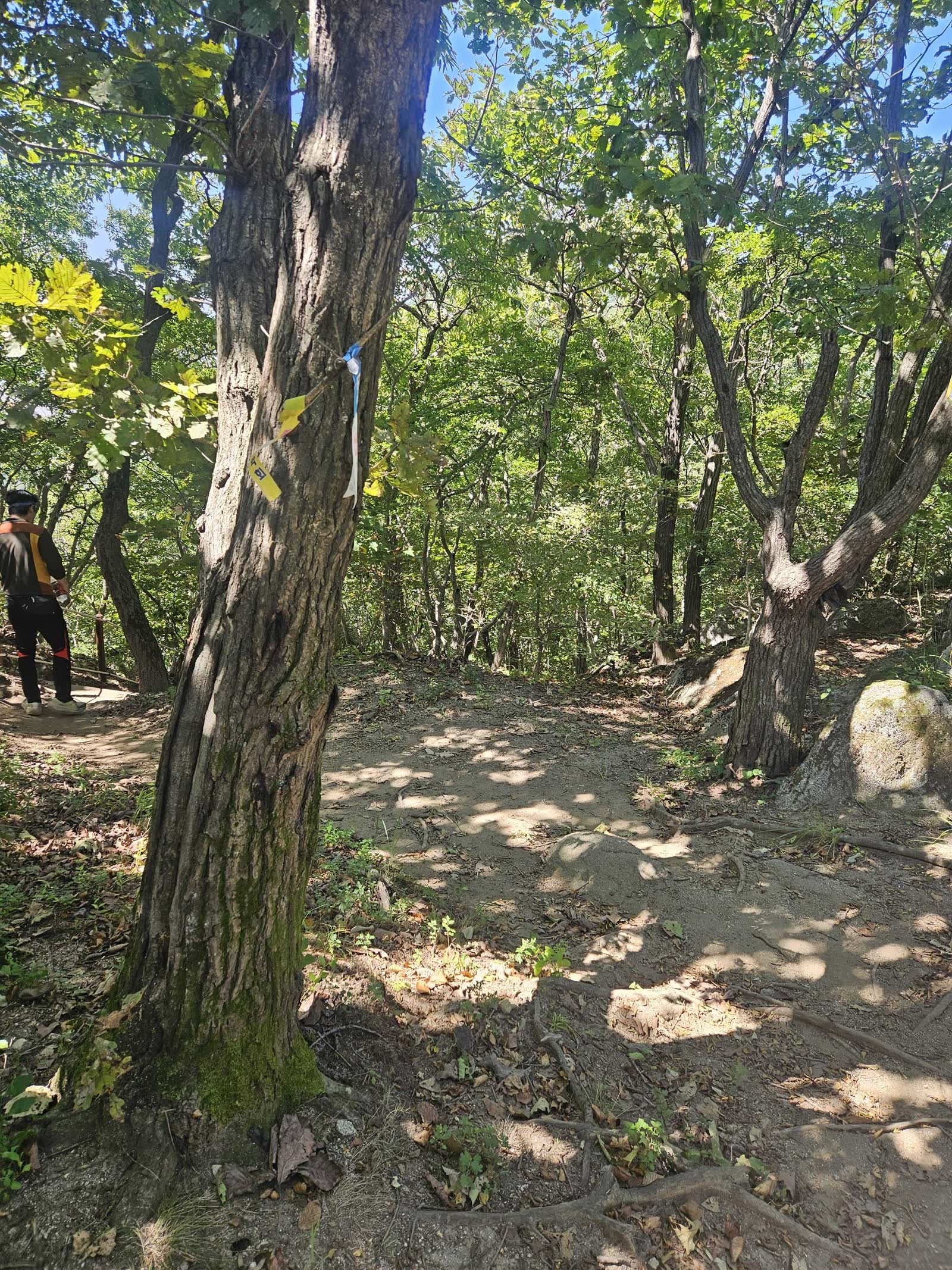
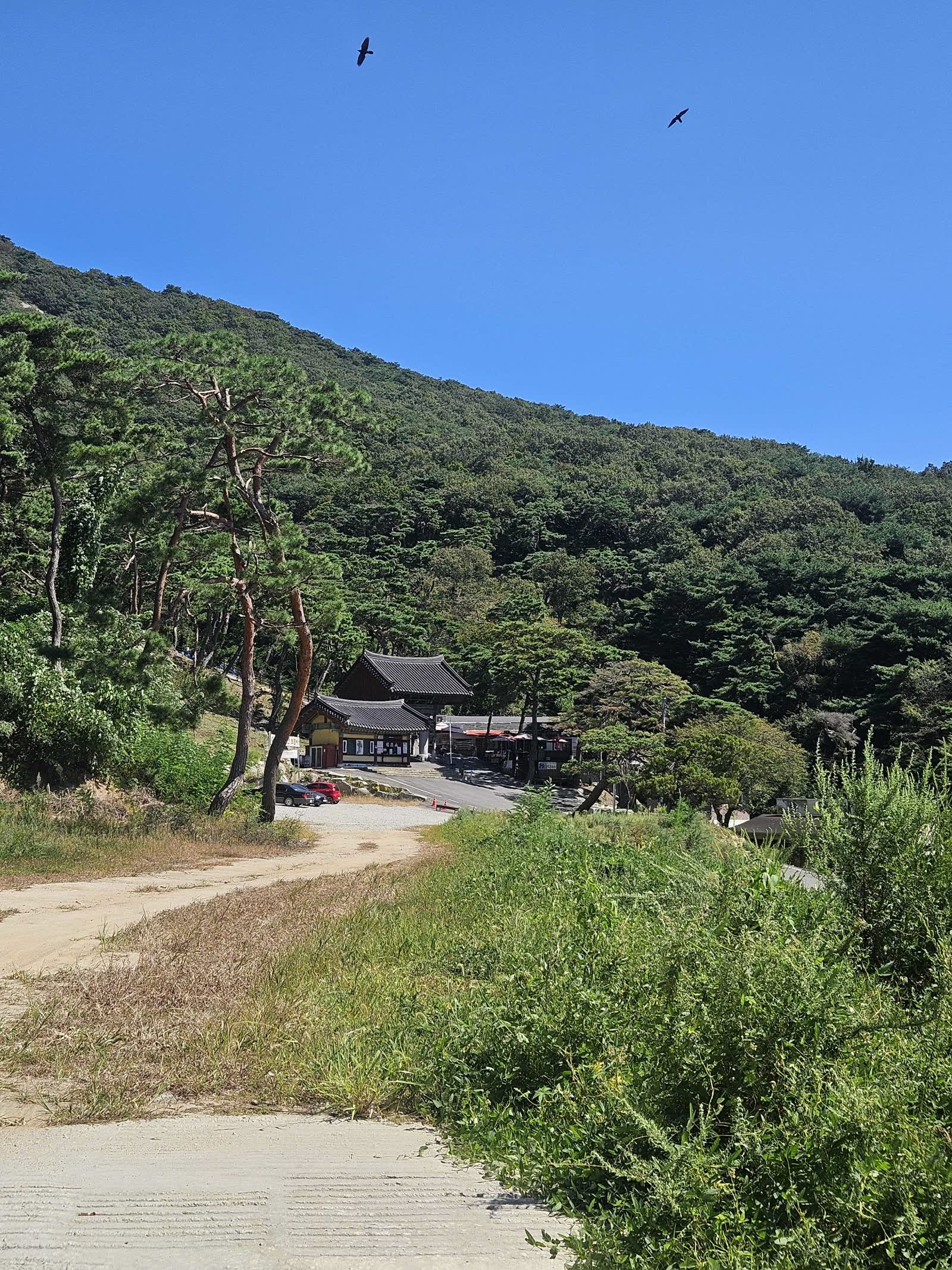
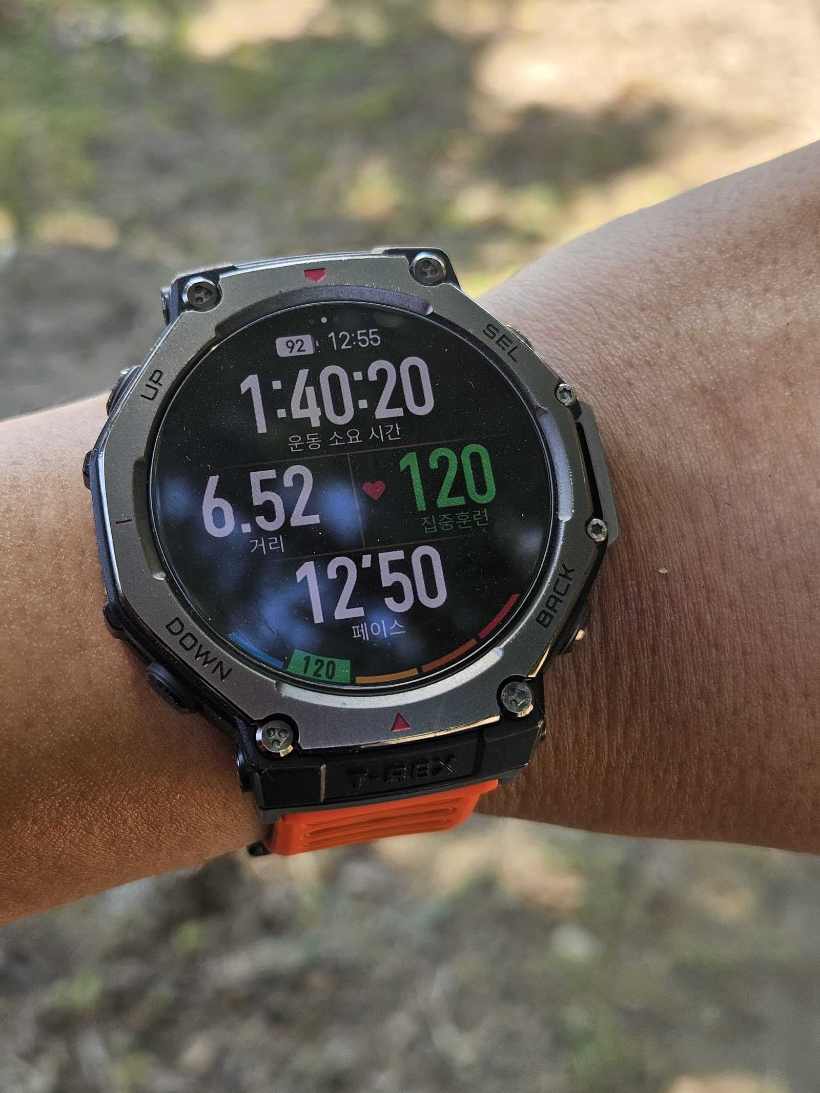
Bomunsa eventually came into view. I reached it about 1 hour 40 minutes after leaving Jeondeungogae.
🚶 Walking the Road Back to Jeondeungogae
After washing up at the Bomunsa restroom, I checked the return route and followed the road back to Jeondeungogae.
The autumn sun was strong, but the breeze and low humidity made walking manageable. I saw a tractor harvesting crops and could look back at Haemyeongsan.
The red bridge eventually reappeared. After one final uphill stretch, I returned to the parking area.
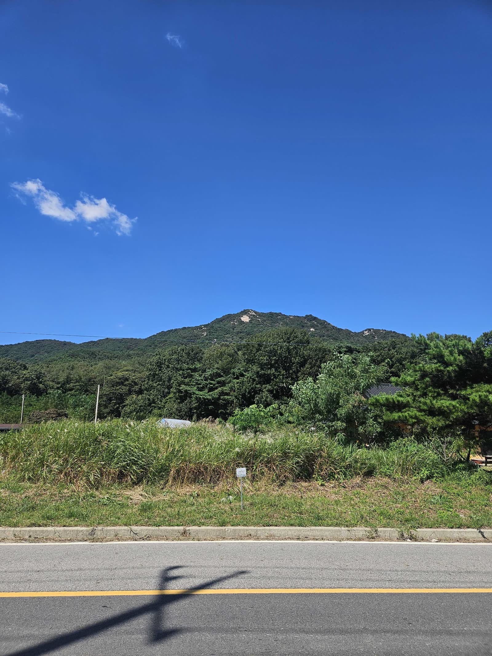
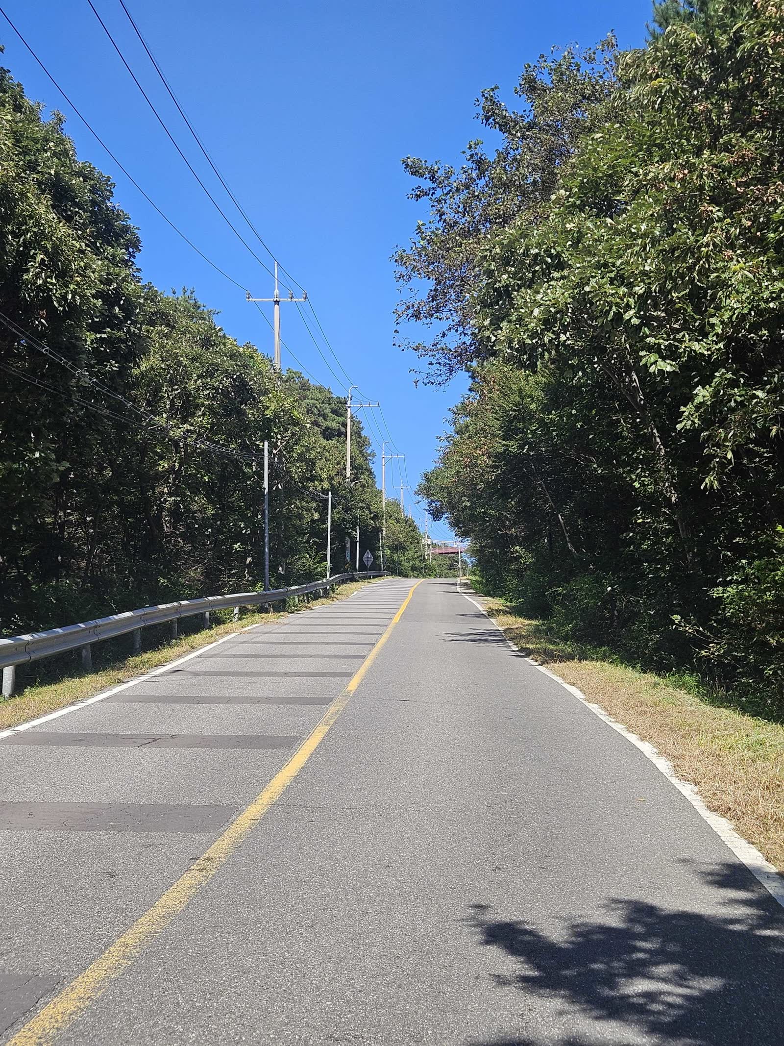
The road return took about 1 hour 10 minutes, bringing the full outing to roughly 2 hours 50 minutes.
💡 Return plan: If you continue to Bomunsa but want to avoid the road walk, check local transport or arrange a vehicle in advance. Otherwise, allow about three hours for the full route and return.
🏁 Activity Record and Takeaway
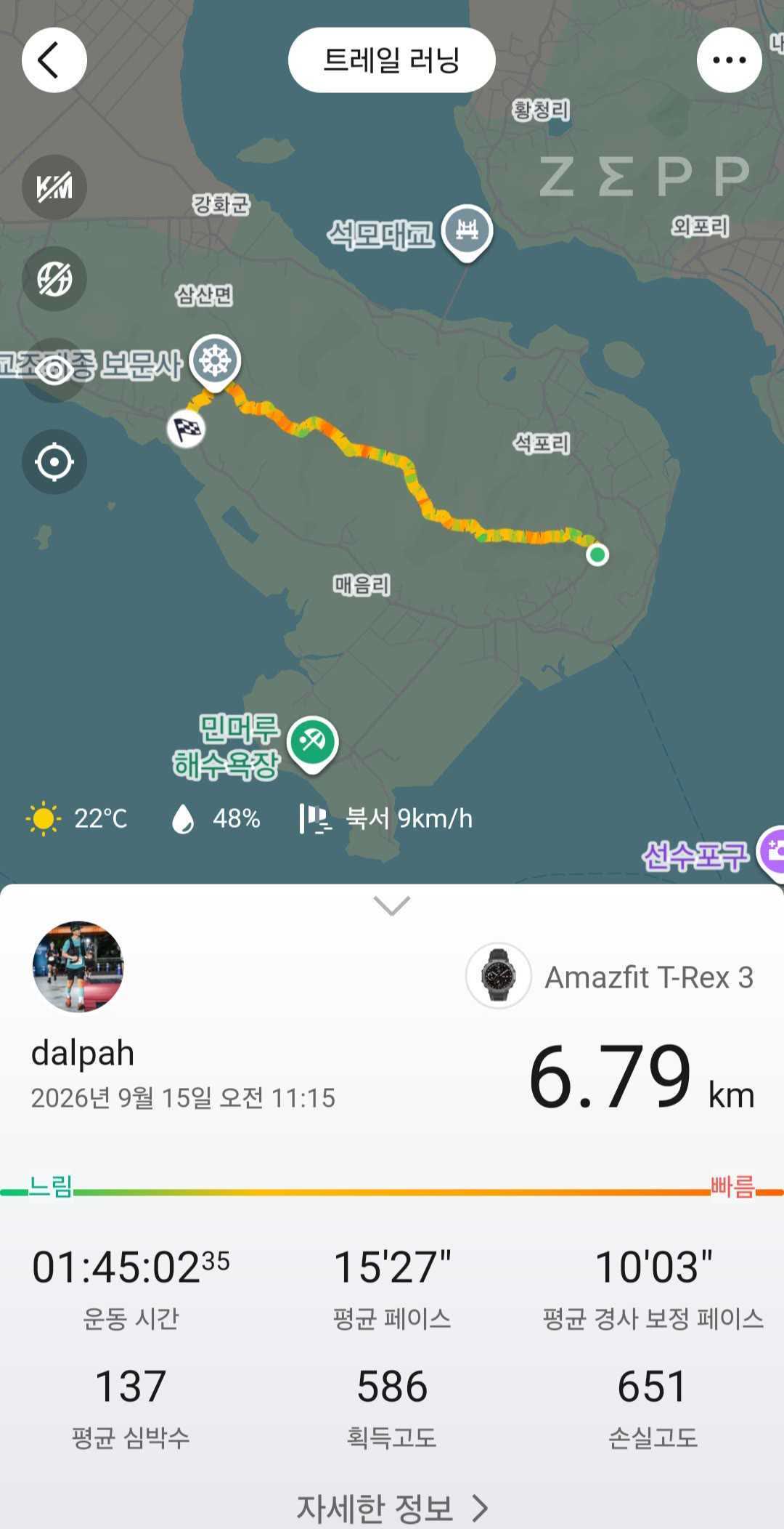
My trail recording from Jeondeungogae to Bomunsa shows 6.79km, 1:45:02 of moving time, and 586m of elevation gain. Including the walk back to the car, the full outing took about 2 hours 50 minutes.
The summit out-and-back is the efficient choice for certification. Continuing to Bomunsa is a more substantial route with repeated elevation changes and steep rope-assisted terrain, making it useful trail-running training as well.
I finished with a light stretch at the parking area before heading home.
🎒 Packing Checklist
| Essential | Recommended |
|---|---|
| Water and trail food | Gloves for rope sections |
| Grippy hiking or trail-running shoes | Trekking poles |
| Black Yak app | Sun protection and a hat |
| Phone and offline route | Bright clothing for the road return |
❓ Haemyeongsan Shortest Route FAQ
Q. Where are the trailhead and parking for the shortest route?
A. Start at Jeondeungogae, coordinates 37.6727, 126.3701. There is parking and a restroom, and the trail information is across the road.
Q. How long does it take to reach the summit?
A. My ascent took 26 minutes. Times vary, and the final approach includes rock and a rope-assisted section.
Q. Can I return directly after the Black Yak certification?
A. Yes. Retrace your route from the summit for the simplest out-and-back. I continued to Bomunsa, but that is not necessary for certification.
Q. How do I return from Bomunsa to Jeondeungogae?
A. I walked along the road, which took about 1 hour 10 minutes. If you want to avoid the road walk, calling a taxi should be an option.
Q. Is the Bomunsa traverse beginner-friendly?
A. The route and signs are reasonably clear, but the ridge has repeated climbs, rope sections, and a very steep descent. It requires more fitness and descending confidence than the summit out-and-back, especially after rain or snow.